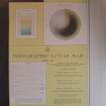
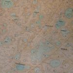
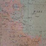
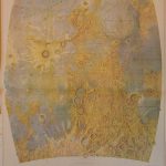
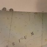
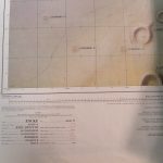
Moon: AMS Topographic Lunar Map (1962-63)
Contour interval 1000 meters
Modified stereographic projection
Prepared by the Army Map Service, Corps of Engineers, U.S. Army, Washington, D.C., Compiled in 1963 by stereo-photogrammetric methods, from photography by Paris, McDonald, Mt. WIlson, Yerkes, Pic du Midi Observatories and other base sources. Names generally derived from and referred to “Named Lunar Formations” (1935) by M. Blagg and K. Müller.
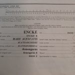
Includes complete lunar names listing on the back.
LUNAR1T5MILWT
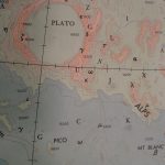
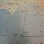
“Small eminences are shown by lower case Greek letters, and small depressions (craters, valleys) by capital Roman letters. Rills are shown by Roman numbers.”
Size: 52 inch
References
Series Gradient Tint Printing:



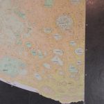
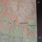
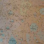
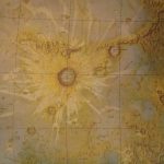
Series Shaded relief
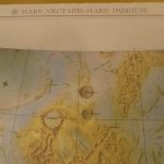
1:2,5M, 1962., Mare Nectaris-Mare Imbrium map sheet

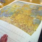
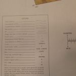
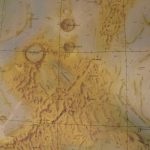
Series “Preliminary printing“,
1:250k 1961, several sheets
(Photos from the Map collection of Stanford University)