Maps of other worlds
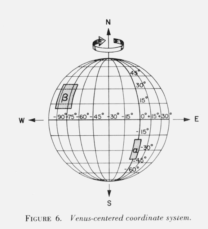
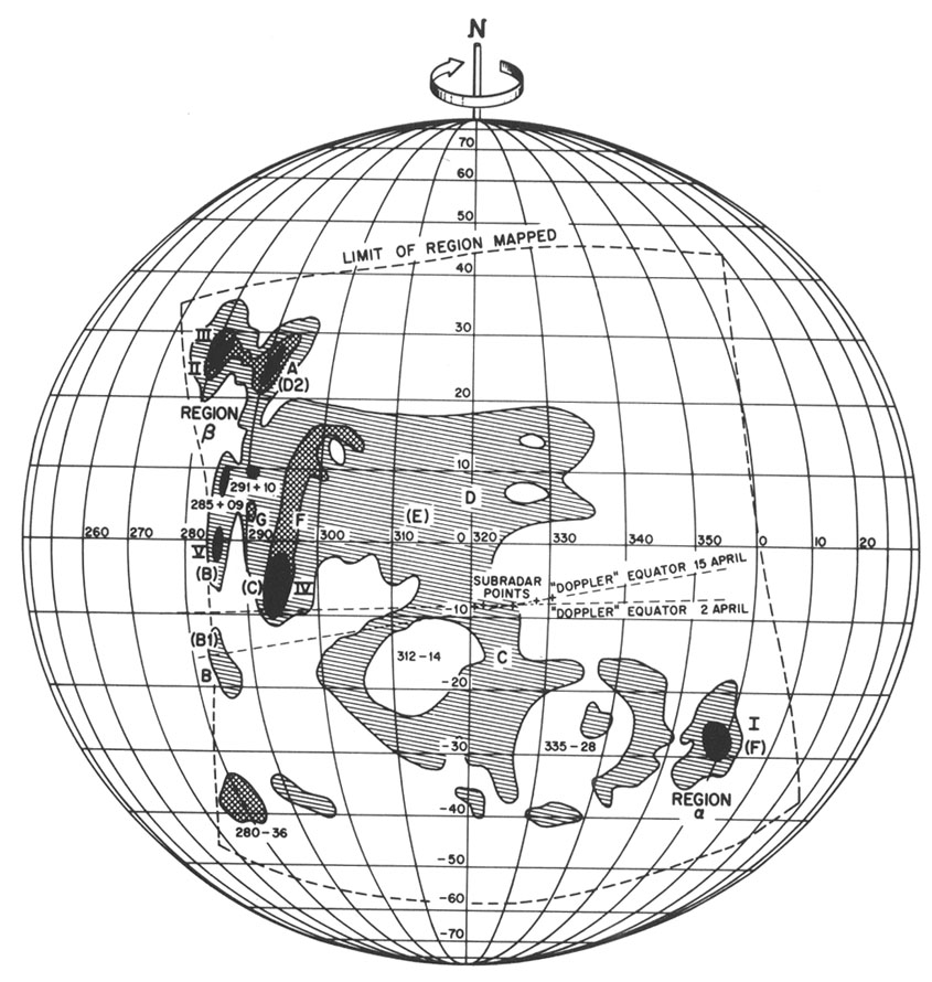
“Diagram of Venus surface features made with the Haystack-Westford interferometer. Features observed with the Haystack-Westford interferometer are indicated variously by capital letters, Roman numerals, and coordinate numbers. Goldstein’s Alpha and Beta regions are indicated (Region and Region ), while the labels given by Carpenter are shown in parentheses. (Courtesy of Alan E. E. Rogers.)” (source: […]
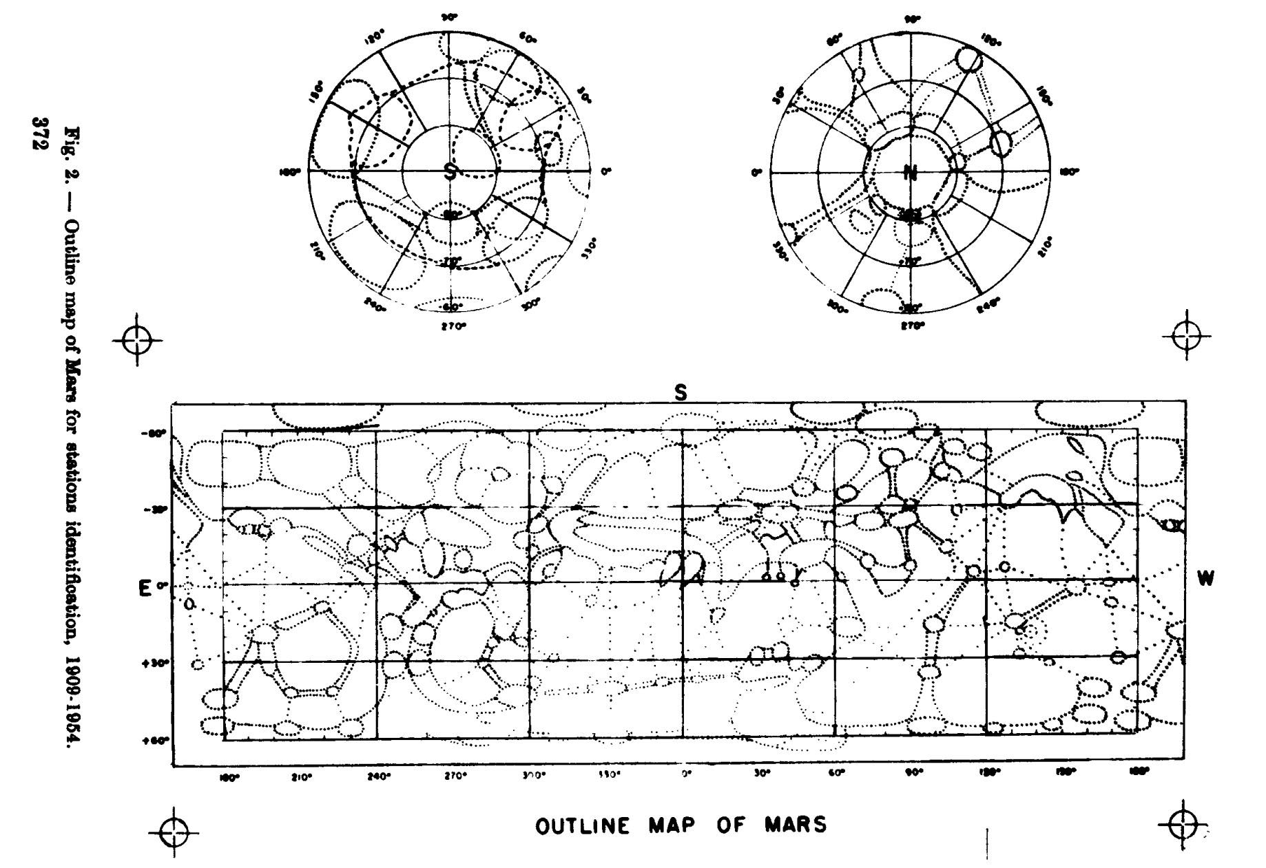
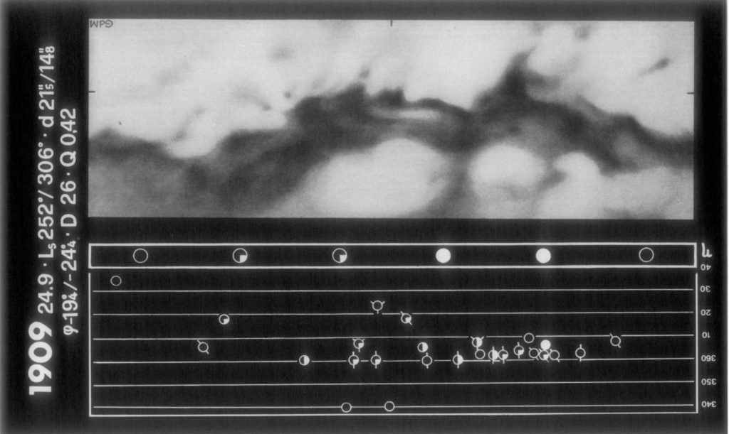
G. de Vaucouleurs: Precision mapping of Mars. In: Physics of Planets. Proceedings of the 11th International Astrophysical Symposium Liege, July 9-12, 1962. 369-
Ross, Herbert S. Photo archived from Ebay Canada No further information known
1966-67 Ross, Herbert S. https://collections.lib.uwm.edu/digital/collection/agdm/id/21287/
De Mottoni Y Palacios, G. (1975). The appearance of Mars from 1907 to 1971: Graphic synthesis of photographs from the I.A.U. center at Meudon. Icarus, 25(2), 296–332 Note: we display these maps north-up.
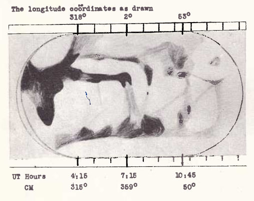
The Strolling Astronomer, 1961 (1-2) Drawing, made with a 10-inch reflector, 1960. Source Chapman’s 1960-61 map of Mars. Photo source “The map of Mars was constructed by Clark R. Chapman and based on 60 of his drawings during the 1960-61 apparition of Mars. The drawings were made primarily with his 10-inch reflector between […]
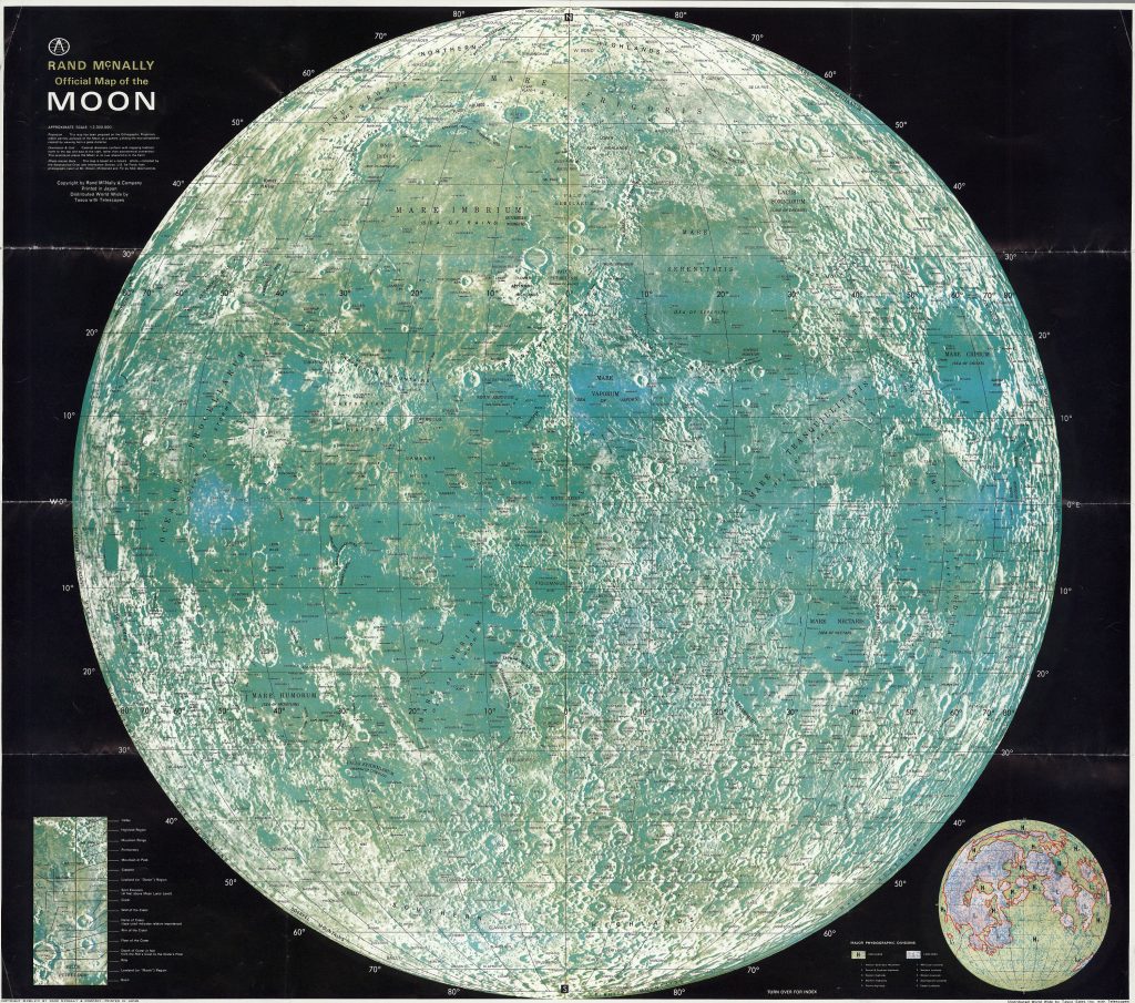
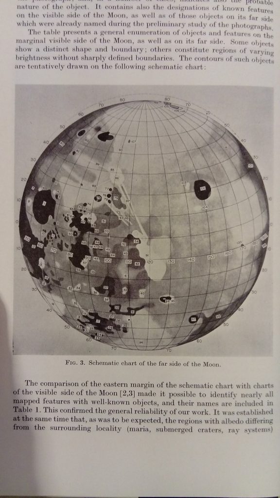
The 1958 edition includes the Physiographic division of the Moon that was published only in 1961. Background: ACIC. 1958 edition, printed in Japan 1969 edition Far side of the Moon: M 1:5.5M. Shaded relief aibrush map, based on Lunar Orbiter I-V images. 1969 Apollo landing sites 1969
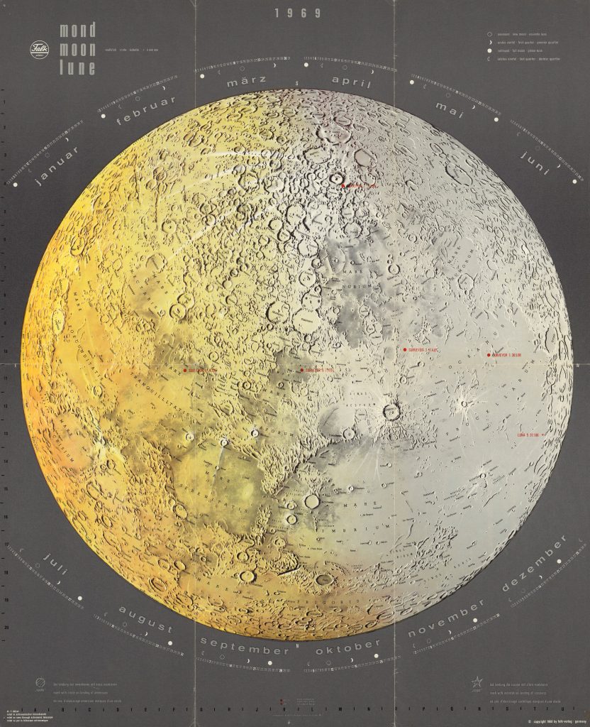
Mond / Moon / Lune 1:8M Calendar for 1969 South-up Dr. L. Hölzel
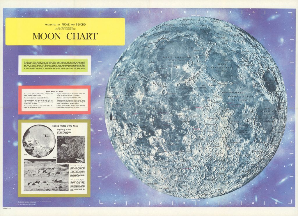
CS. Hammond and CO., 1966 and 1969 Background photo from ACIC Encyclopedia of Aviation and Space Sciences Map 49 x 71 cm. Courtesy Ton Lindeman
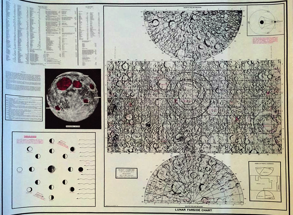
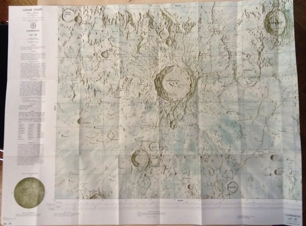
ACIC, 1st Edition, 1961. Source: Carder, R. W. 1962. Lunar Charting on a Scale of 1:1000000. In: The Moon, (Kopal, Z., and Mikhailov, Z. K., editors) IAU Symposium 14, Academic Press, pp. 117-129, supplement to the book