Maps of other worlds
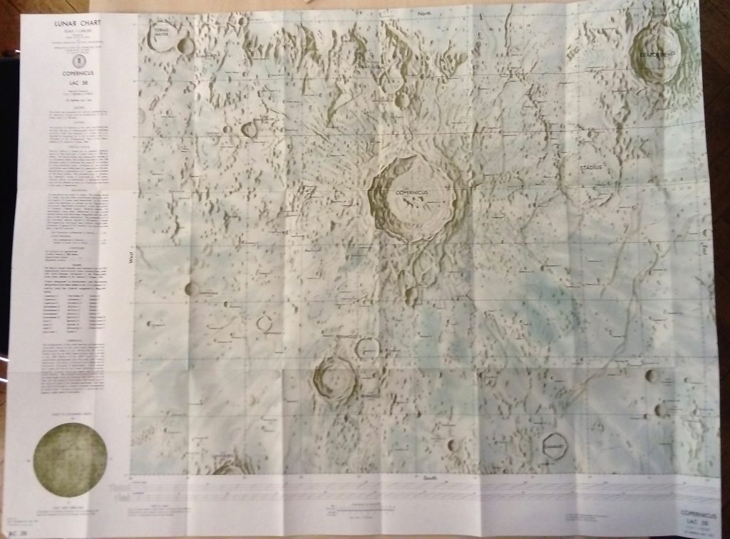
ACIC, 1st Edition, 1961. Source: Carder, R. W. 1962. Lunar Charting on a Scale of 1:1000000. In: The Moon, (Kopal, Z., and Mikhailov, Z. K., editors) IAU Symposium 14, Academic Press, pp. 117-129, supplement to the book
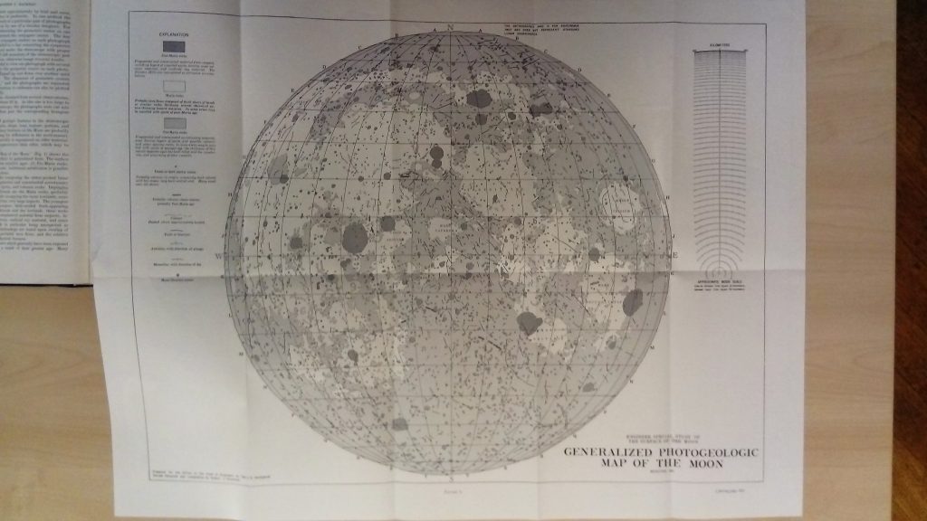
Hackman, Robert J. (research and compilation) Modified 1961 Engineer Special Study of the Surface of the Moon Greyscale units, linework 1:9M (approx), originally compiled at 1:3.8M Prepared for the Office of the Chief of Engineers by the U.S. Geological Survey, as part of a joint program with the Army Map Service Source: AC Mason, RJ […]
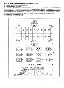
Source: Academy of Sciences of the USSR, Order of the Red Banner of Labour Geological Institute: Volcanism and Tectonics of the Mon. Nauka, Moscow 1974. Editors: AV Peive, VV Menner, VG Gerbova, PP Tomofeev, MS Markov. Карта вулкавических форм Луны А – схема расnоложенuя лuстов карты 1 – кратеры вулканичесного происхождения; 2 – нратеры предположитепьио […]
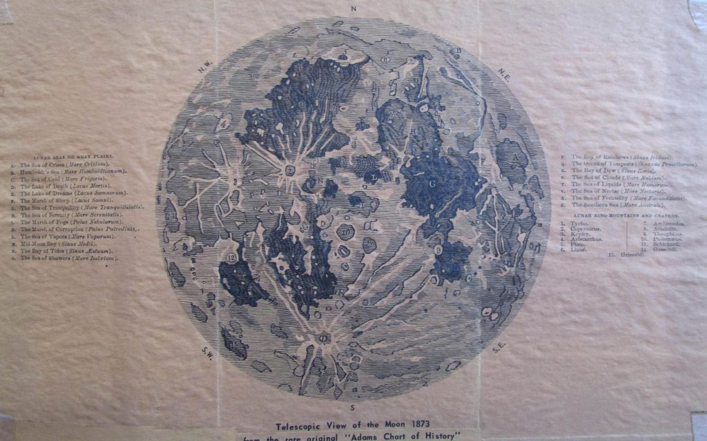
Telescopic view of the Moon 1873. From: Adams Chart of History Reproduction Courtesy of E. A. Whitaker.
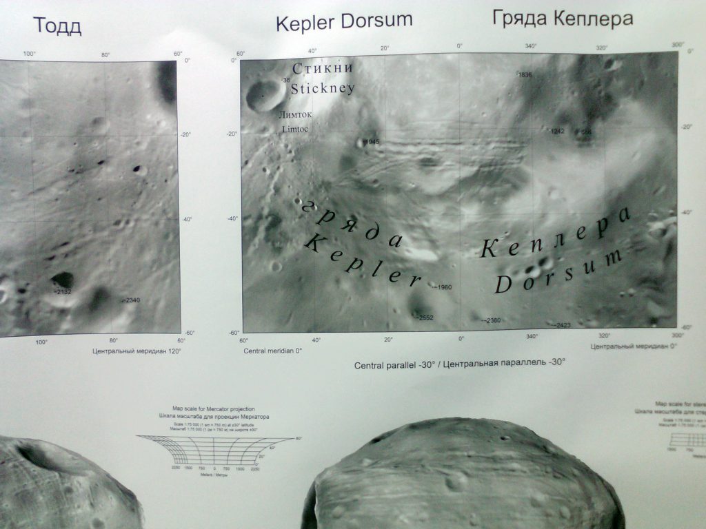
This map sheet is a supplement to the Phobos Atlas. Publisher: MIIGAiK MExLAB Cartographers: Kokhanov AA, Bulanstev OE. Editors: Karachevsteva IP, Rodionova Zh. F
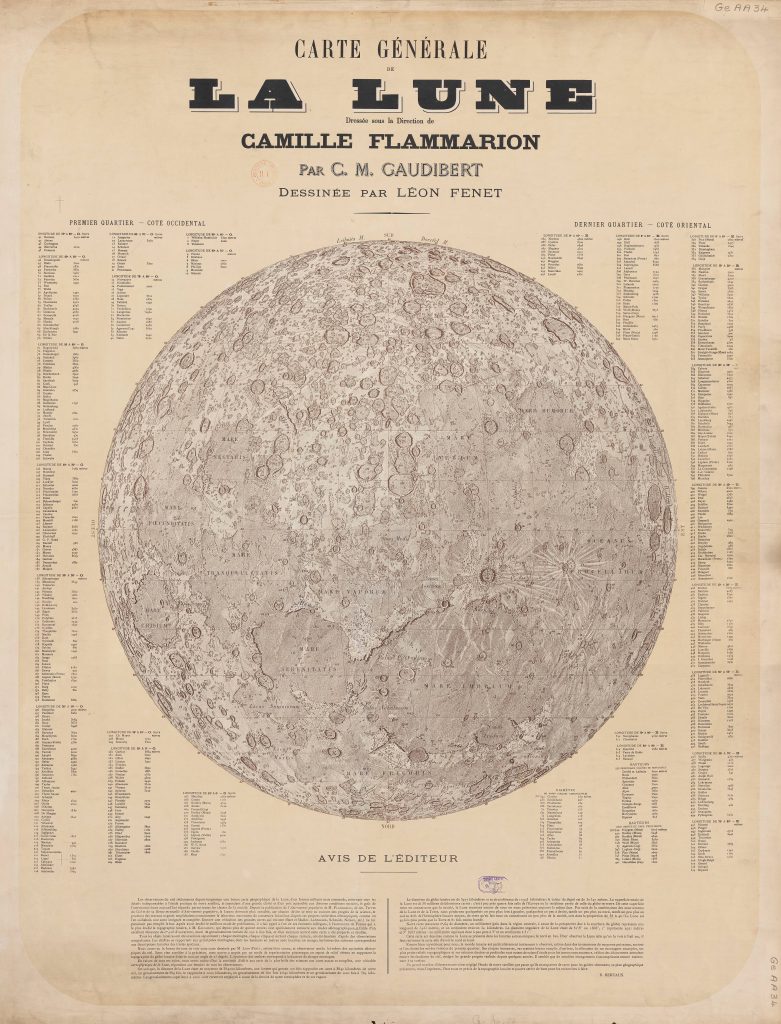
Carte générale de la Lune. Editor: Camille Flammarion Based on: the map of C.M. Gaudibert Graphic artist: Léon Fenet Date: 1887 Publication: standalone sheet Contribution by Ton Lindemann. Advertisement about the map, The Physical Review 2/5, 1895 “A Hold általános térképe” (Moon’s general map), Hungarian edition Camille Flammarion’s Népszerű csillagászat (Popular Astronomy), Az égbolt egyetemes […]
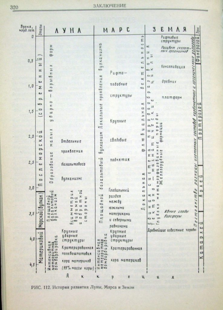
KP Florenskiy, AT Bazilevskiy, GA Burba, VP Volkovc AV Ivanov, RO Kuzmin, MA Nazarov, OV Nikolaeva, AA Pronim, OD Rodye, OI Yakovlev, AA Yarosevskiy; Ed. VL Barsukov Otserki Sravnitel’noj Planetologii Nauka, Moskva, 1981. Vernadski Institute
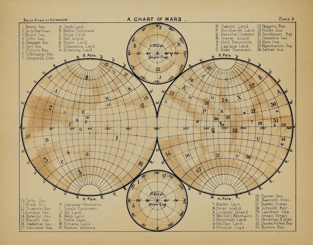
“This map represents the surface of Mars on the stereographic projection. It has been compiled (with only two exceptions, where, as shown by Mr. Knobel in 1884, the balance of evidence appears to incline otherwise) from Mr. N. E. Green’s Chart of Mars, published in theTransactions of the Royal Astronomical Society, Vol. XLIV. The details […]
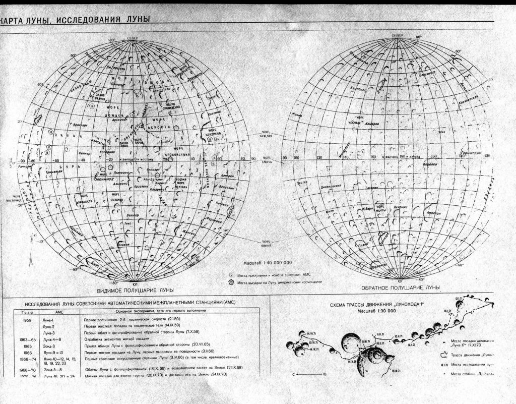
Reference: Geografitseskiy Atlas Language of nomenclature: Russian Language of explanations: Russian Map type: Shaded Relief Scale: 1: 40 000 000 Publication Place: Mosow Publication Date: 1983
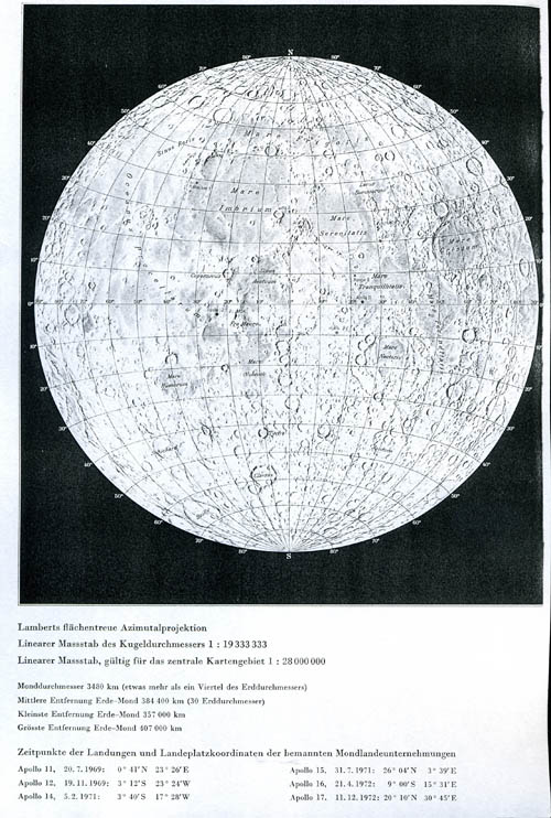
Reference: Schweizer Weltatlas Language of nomenclature: Latin Language of explanations: German Map type: Shaded Relief Scale: 1: 19 333 333 Publication Place: Zürich Publication Date: 1981 Source of background relief map: National Geographic Society.
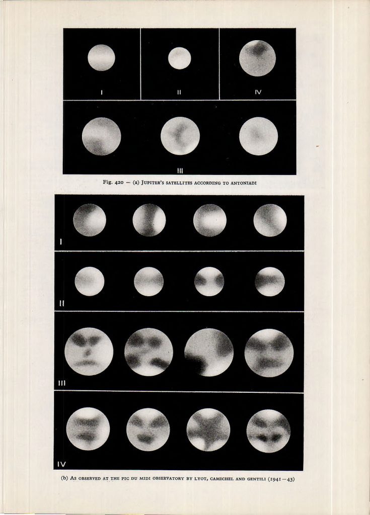
Source: Rudaux, L. et al 1962; Larousse Encyclopaedia Of Astronomy; London Courtesy Ton Lindemann
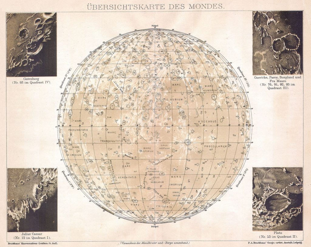
Brockhaus, F.A. 1894-1898; Brockhaus’ Konverzations Lexikon; Leipzig/Berlin/Wien Image and text courtesy of Ton Lindemann.