Maps of other worlds
“These charts were inspired by the National Geographic Society. The original artwork was prepared at Lowell Observatory in cooperation with David W. Cook, assistant chief cartographer of the Society,and a color rendition was distributed with the February 1973 issue of National Geographic Magazine as a supplement to a popular article by Kenneth F. Weaver. The […]
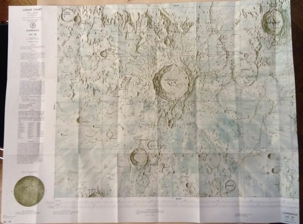
ACIC, 1st Edition, 1961. Source: Carder, R. W. 1962. Lunar Charting on a Scale of 1:1000000. In: The Moon, (Kopal, Z., and Mikhailov, Z. K., editors) IAU Symposium 14, Academic Press, pp. 117-129, supplement to the book
1973 The Red Planet 36.0ʺ × 22.5ʺ 2012: Destination Mars 1:27.4M 31.25″ x 20.25″ 2016 Map of Mars. Photographed at National Geographic Society, Washington, DC. 1:28M Shaded relief map plus topographic map (green to yellow-brown colors) Lambert azimuthal equal area projection. Publisher. National Geographic Society Online available Editor: Matthew W. Chwastyk. Text: Jeremy Berlin. Map […]
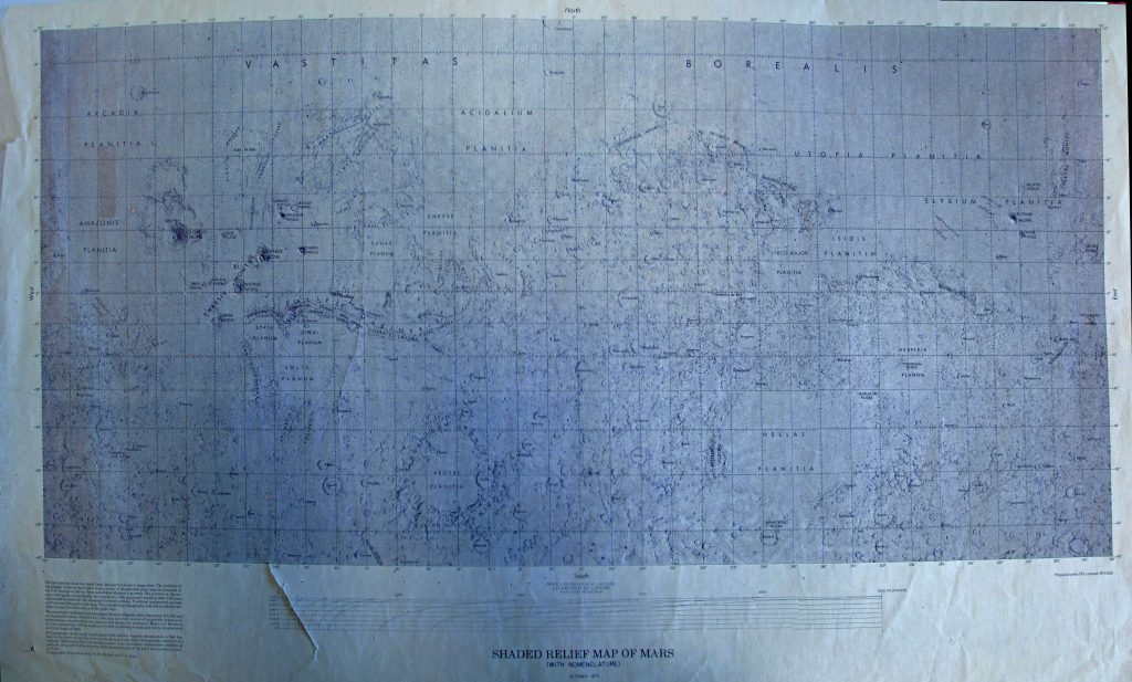
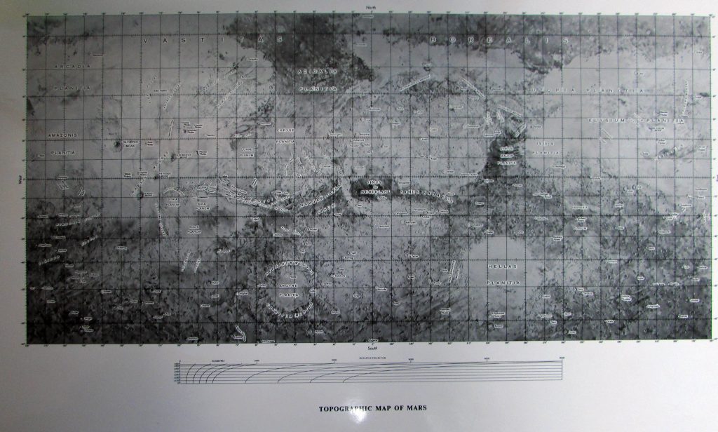
Prepared under JPL contract WO-8122 1:25M Mercator projection Preliminary map made from Mariner 9 data. Topographic interpretation by PM Bridges, JL Inge. USGS October 1973 Atlas of Mars MM 25M IR Maps provided courtesy of the USGS Flagstaff Library.
A Shaded relief map of Mars. Map provided courtesy of the USGS Flagstaff Library.