Maps of other worlds
These are the first maps where photographic albedo was converted into exact numerical values. Source: A photoelectric-photographic study of the normal albedo of the Moon, accompanied by an Albedo map of the Moon 1970 https://pubs.er.usgs.gov/publication/pp599E
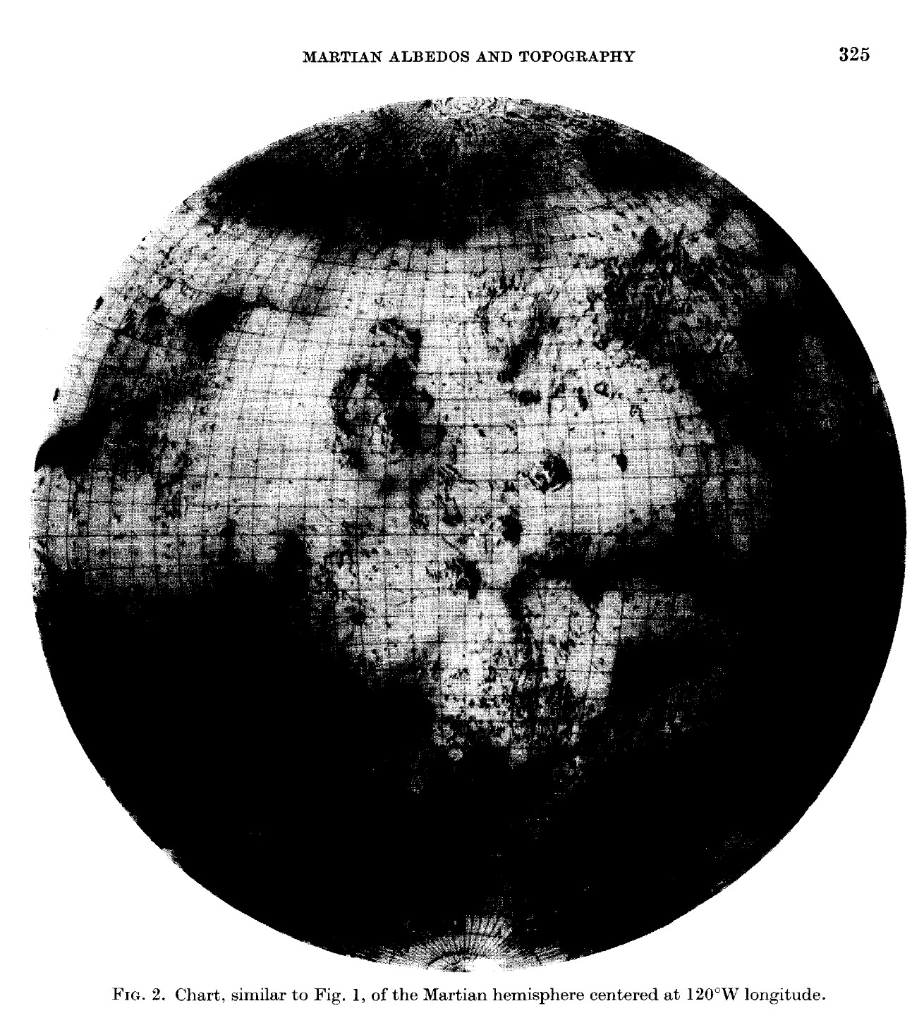
“These charts were inspired by the National Geographic Society. The original artwork was prepared at Lowell Observatory in cooperation with David W. Cook, assistant chief cartographer of the Society,and a color rendition was distributed with the February 1973 issue of National Geographic Magazine as a supplement to a popular article by Kenneth F. Weaver. The […]
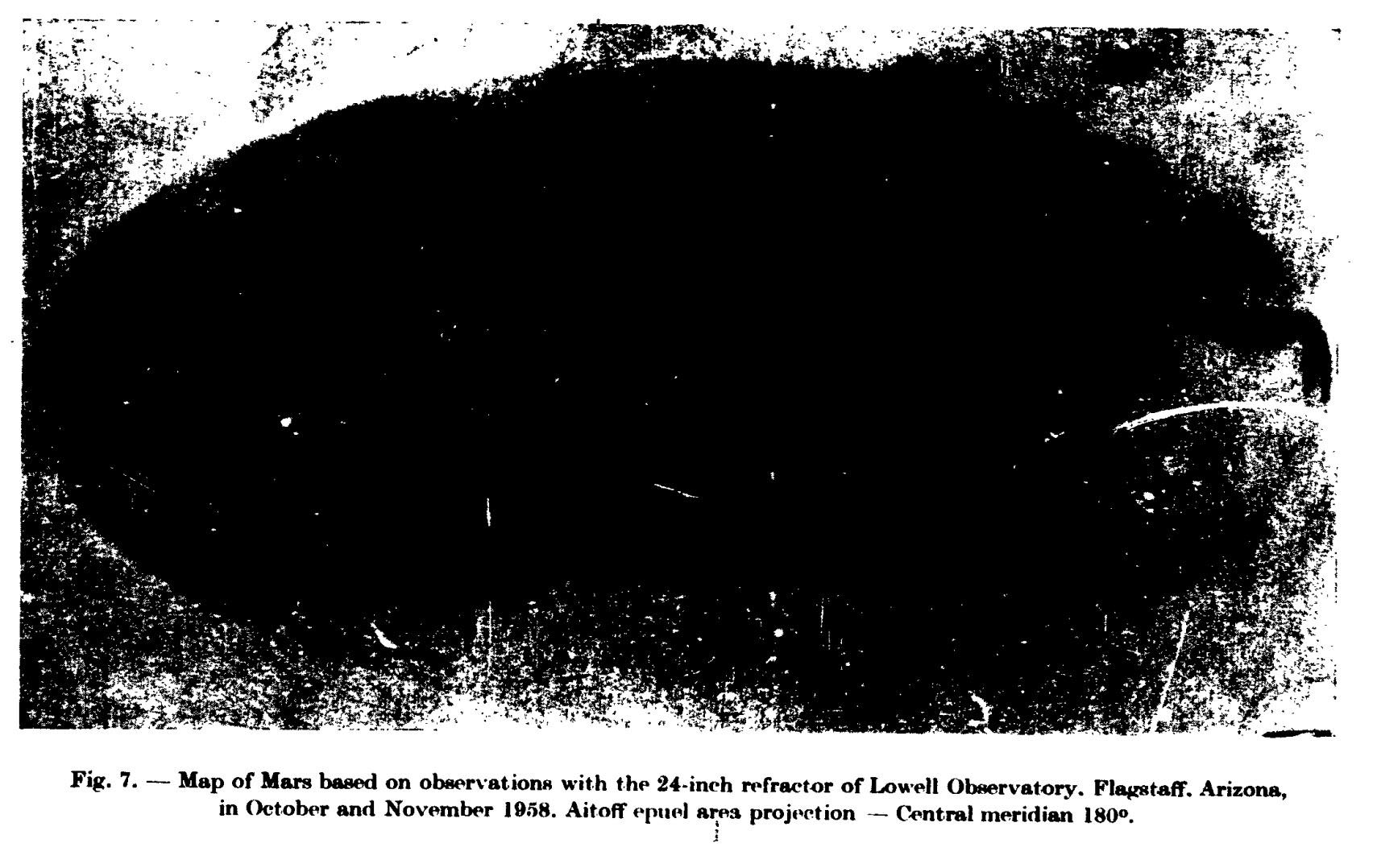
G. de Vaucouleurs: Precision mapping of Mars. In: Physics of Planets. Proceedings of the 11th International Astrophysical Symposium Liege, July 9-12, 1962. 369- Bad image quality due to scanning, original paper version is not available.
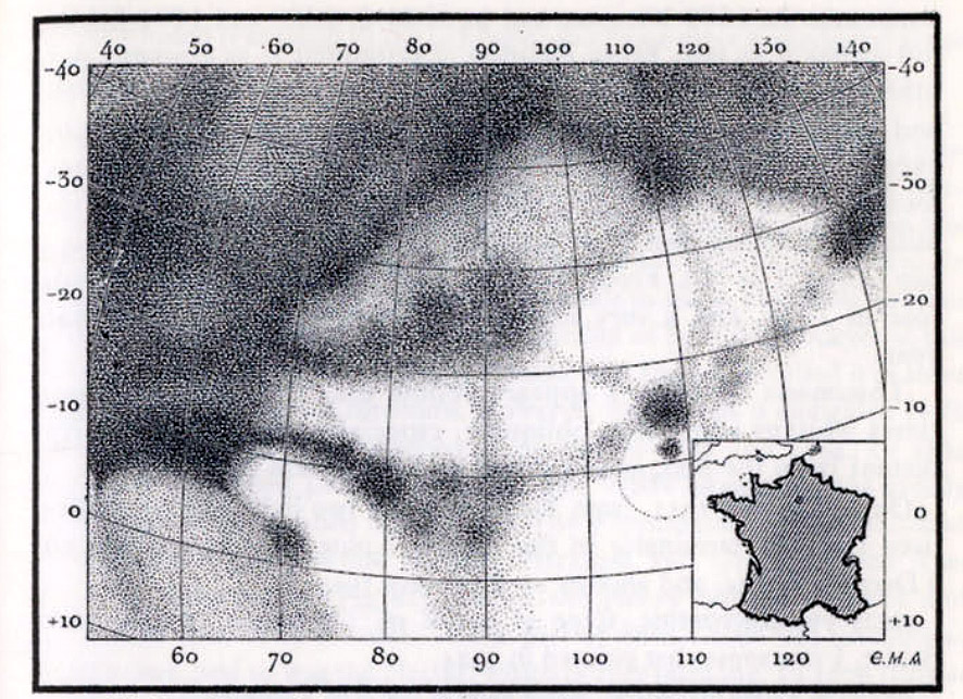
Antoniadi 1930 La Planete Mars. Etude basee sur les resultats obtenus avec la grande lunette de l’Observatoire de Meudon et expose analytique de l’ensemble des travaux executes sur cet astre depuis 1659. Paris: Hermann & Cie, 1930
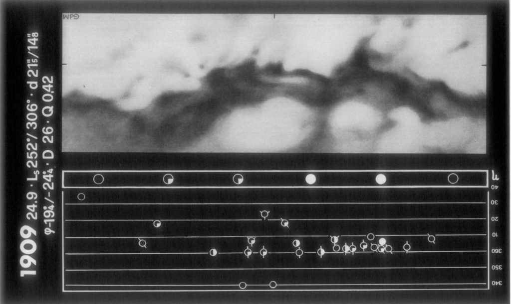
De Mottoni Y Palacios, G. (1975). The appearance of Mars from 1907 to 1971: Graphic synthesis of photographs from the I.A.U. center at Meudon. Icarus, 25(2), 296–332 Note: we display these maps north-up.
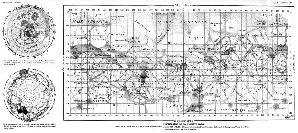
Planisphere de la Planete Mars. Dressé par M. Georges Fournier, d’apres les observations faites en 1907, 1909, 1911-1912, aux Observatoires Jarry-Desloges, du Revard, du Massegros, de Toury et de Sétif. Astronomes adjoints, MM. G. et V. Fournier
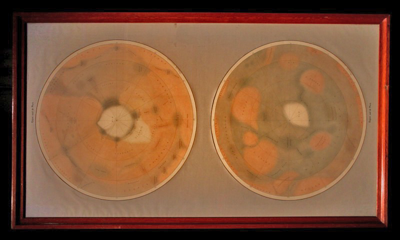
Antoniadi’s map of Mars, made for the for the Palais de la Découverte in Paris in 1936 (1:28M copy of the original 1:14M). It was also displayed in 2016.
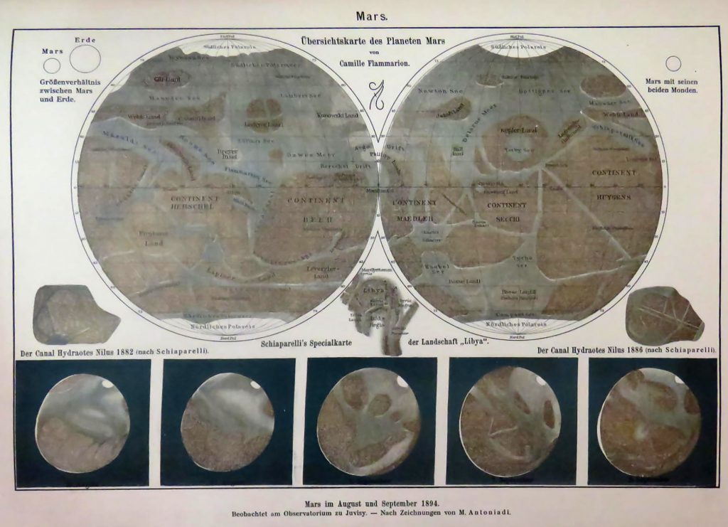
Amand Freiherr v. Schweiger-Lerchenfeld: Atlas del Himmelskunde. Wien, Pest, Leipzig 1898
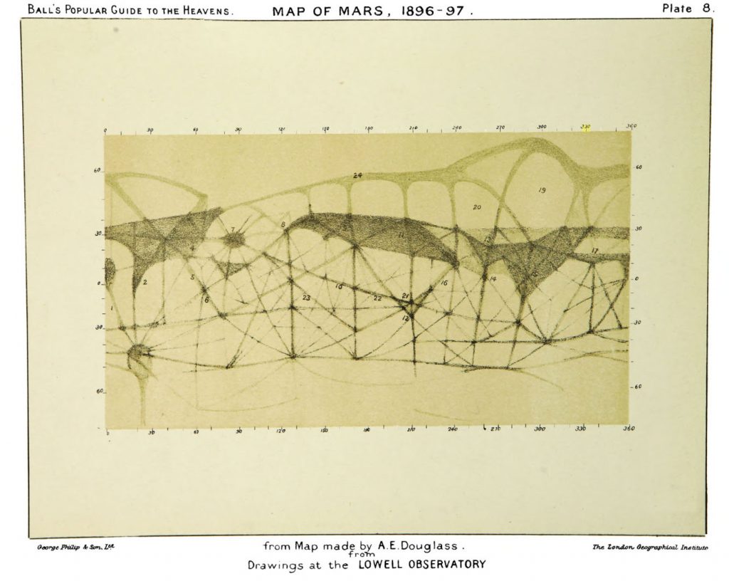
Ball’s Popular Guide to the Heavens, 1925
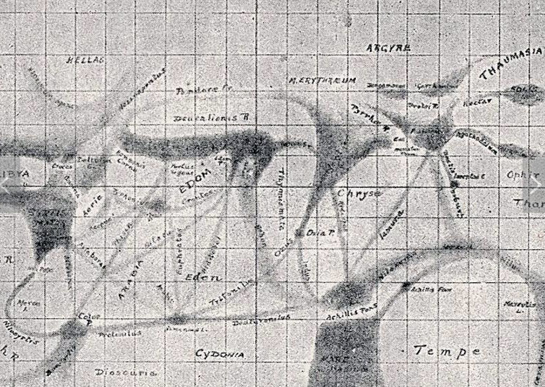
Map of Mars, 1896-97 Telescopic Lowell Observatory Book plate The London Geographical Institute / Georg Philip and son Ltd Pencil A.E. Ball’s Popular Guide to the Heavens