1950

Wilkins’ maps of the Moon

Wilkins’ maps of the Moon

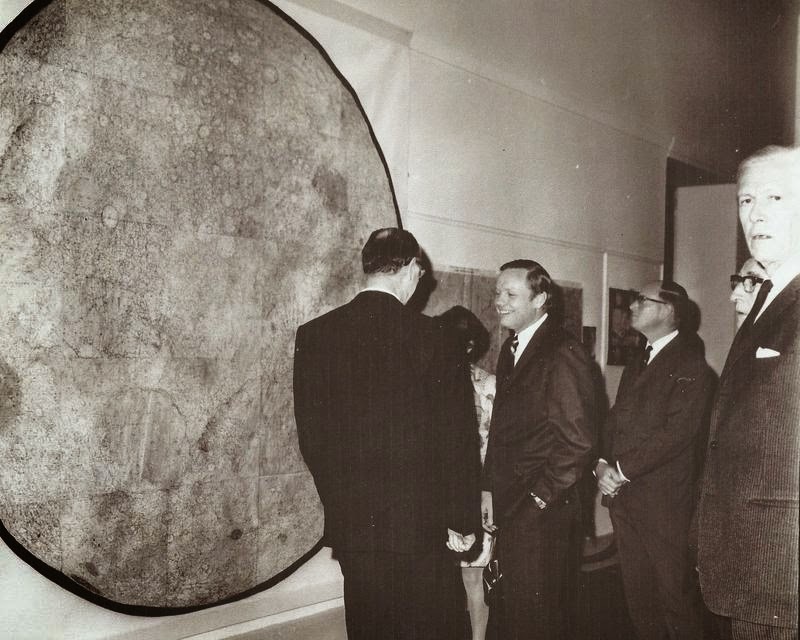
Photo: LPOD Sep15 2008. Cartographer: H Percy Wilkins, “the last traditional selenographer” Editions: Early edition with hand lettering, later editions with sans serif and grid. South-up orientation. Orthographic projection. 60 inch map: 1924 200 inch map: 1930 300 inch map of the Moon First edition, 1946.  Third edition, 1951, revisions in 1952, 1954. 25 map sheets, Scale 21.6 miles […]
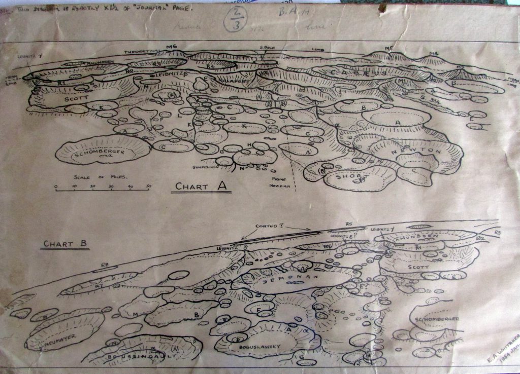
Whitaker’s map of the South Pole of the Moon (1954)

Whitaker’s map of the South Pole of the Moon (1954)

Courtesy of E. A. Whitaker. Manuscripts.

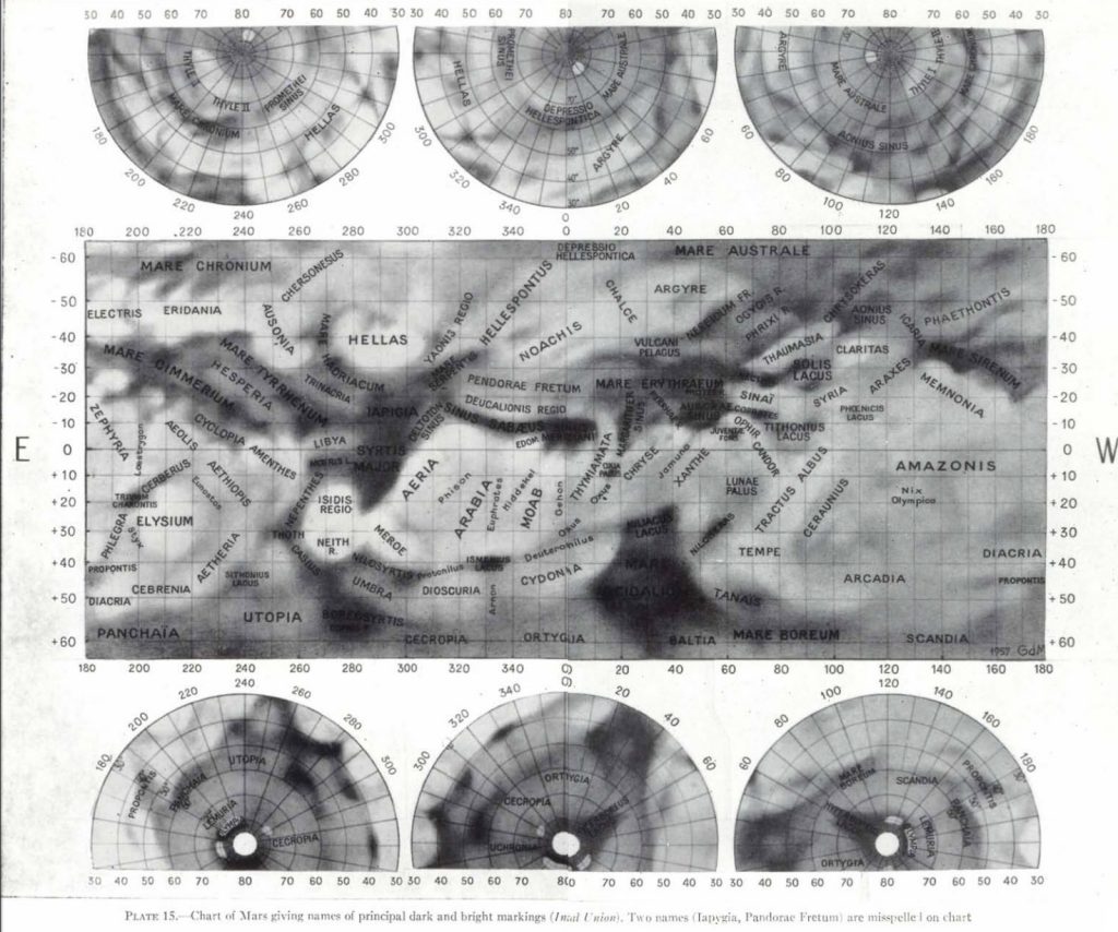
Mottoni’s IAU Map of Mars (1941-52)

Mottoni’s IAU Map of Mars (1941-52)

Coordinate system created using Juventae Fons observations for determinig rotation and 260 control points by Camichel.  40 was used in this map. This map was made by Dr. de Mottoni (Giardini Glauco de Mottoni y Palacios), and presented at the 1958 Moscow IAU meeting. It represents the avegare positions of surface markings observed 1941-52. Source: A. Dollfus: Visual […]

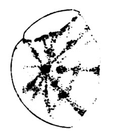
Drawing of Venus by R. M. Baum

Drawing of Venus by R. M. Baum

Date: Apr 26, 1951. Source: W. R. Corliss: The Moon and The Planets. The sourcebook project 1985. Spoke system  

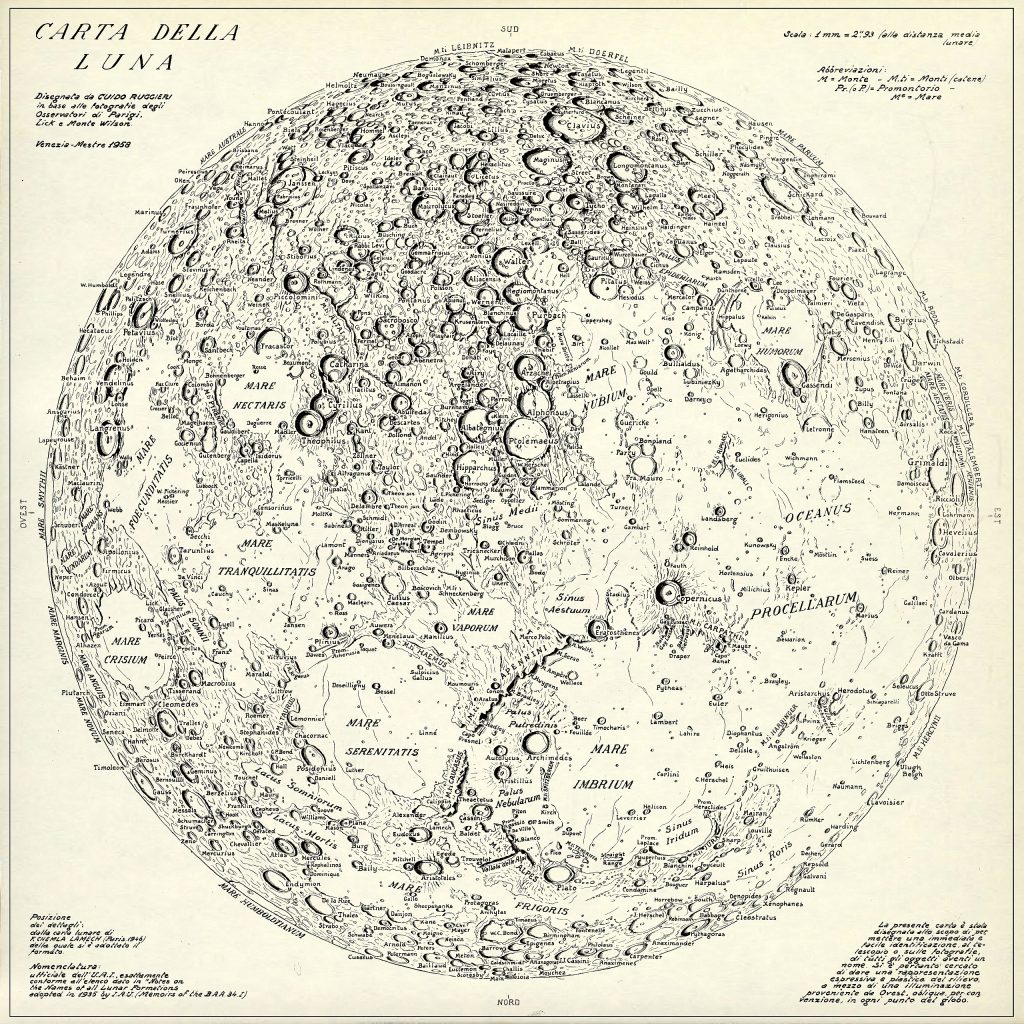
Rugierri’s map of the Moon (1958)

Rugierri’s map of the Moon (1958)

Rugierri, G. (1958); Carta della Luna; Venezia Restored (stitched sectors and cleaned up from scan errors) from origional web edition by Ton Lindemann Source:: http://divulgazione.uai.it/ (cc)

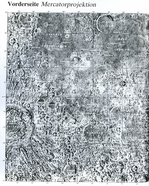
Atlas of the Moon (1953)

Atlas of the Moon (1953)

Reference: Patrick Moore: Der Mond. Herder. Language of nomenclature: Latin Language of explanations: German Publication Date: 1953 Publication Place: Freiburg – Basel – Wien  

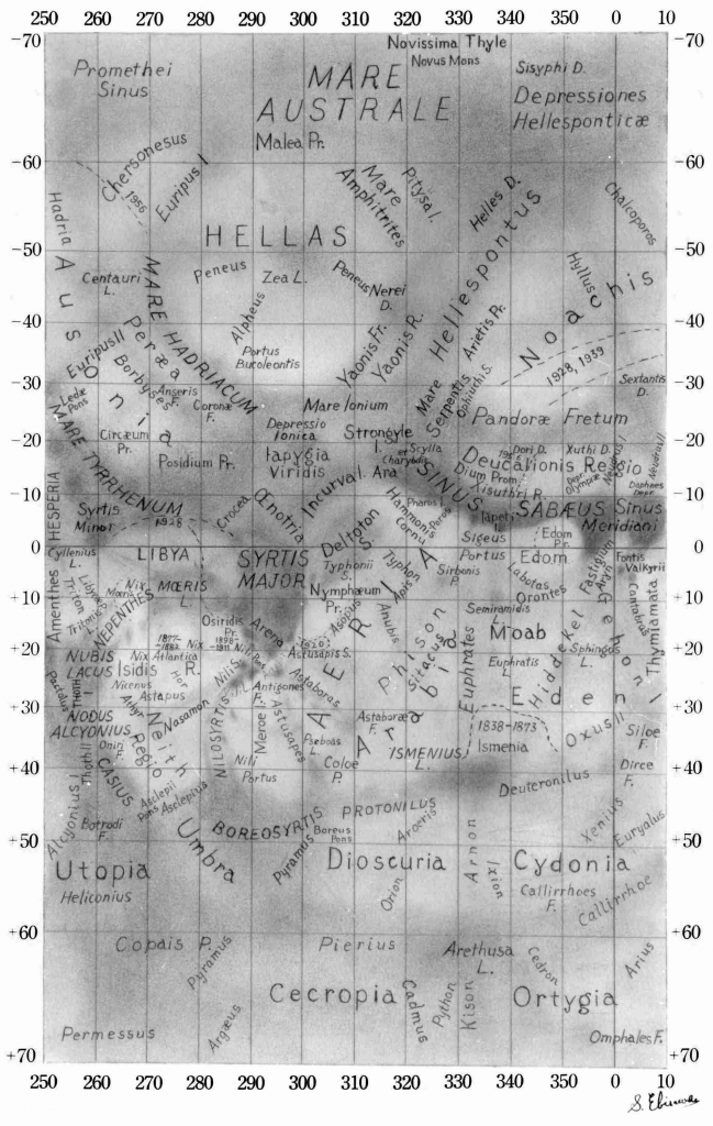
Albedo Map of Mars (Ebisawa, 1957)

Albedo Map of Mars (Ebisawa, 1957)

Cartographer: Shiro Ebisawa Based on Antoniadi (1930) Comment: “This map is regarded, by the BAA Mars Section, as the standard reference for names, as the IAU map contains too few names to be of real use.”

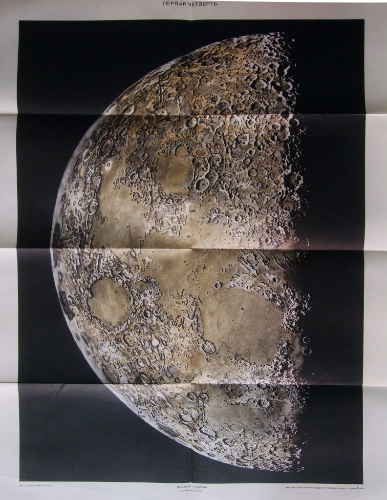
Maps of Quarters of the Moon (1959)

Maps of Quarters of the Moon (1959)

1:5 000 000 Praga, 1959. Drawing by Joseph Klepesta, technical editor Ladislav J. Lukesh Tsentralnoe Upravlenie Geodezii i Kartografii Luna, poslednyaya tsetvert’; pervaya tsetvert’

Map of the Moon (1953)

Reference: Csillagászattan (X. o.) 1953. p. 133. Translation of the 1951 Russian textbook by Voroncov-Veljaminov Language of nomenclature: Hungarian Language of explanations: Hungarian Publication Date: 1953 Publication Place: Oradea, Romania image missing

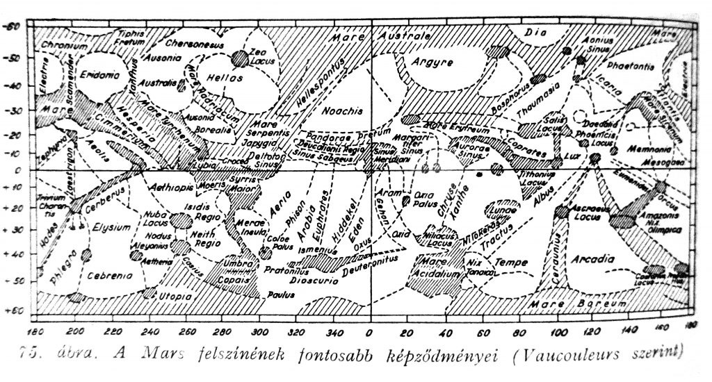
Map of Mars, de Vaucouleurs (1939-50)

Map of Mars, de Vaucouleurs (1939-50)

Source: De Vaucouleurs G. 1950; The Planet Mars; London Reproduction in: Kulin-Zerinváry: A távcső világa. Gondolat, Budapest, 1958.