Maps of other worlds
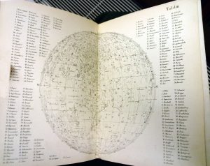
Littrow JJ, Littrow Karl 1878 Die Wunder des Himmels. Berlin, Verlan von Gustav Hempel. Sechste auflage
1878
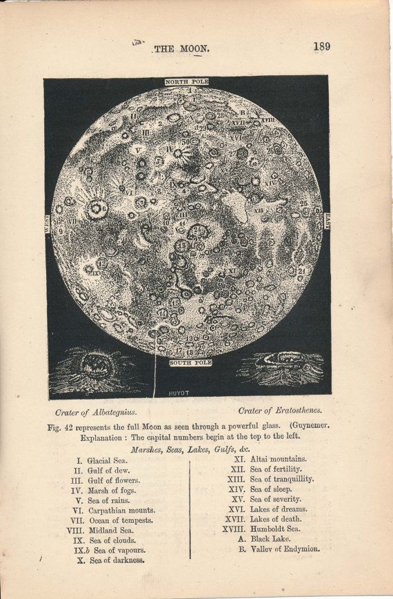
In: J. Rambosson (ed) 1878 Astronomy. Translated from French by CB Pitman. Chatto and Windus Piccadilly, London. Original
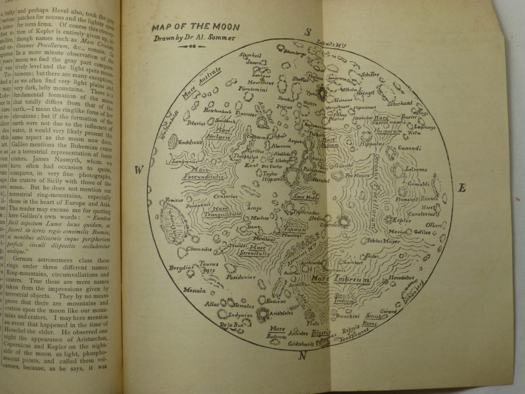
Dr. Alfred Sommer Source: The New Dominion Monthly January, 1879, 58-79 (56 & 65) The first Canadian moon map. Literature: R.A. Rosenfeld, “Dr. Sommer’s Moon: Philology, Cartography, and Oblivion”, JRASC 112, 1 (2018, February), 35-41.
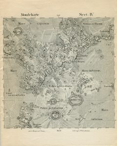
Cartographer: Wilhelm Lohrmann Title: Topographie der sichtbaren Mondoberflaeche (Topography of the Visible Lunar Surface) Dresden: Auf Kosten des Verfassers, 1824. 25 sheets, hachure relief visualization and multiple gray shadings for albedo 1824 4 sheets Size 227 × 227 mm 1878 Full atlas published by Julius Schmidt, reissued in 1892 Mondkarte in 25 Sectionen und 2 Erlauterungstafeln / Herausgegeben von Dr. […]
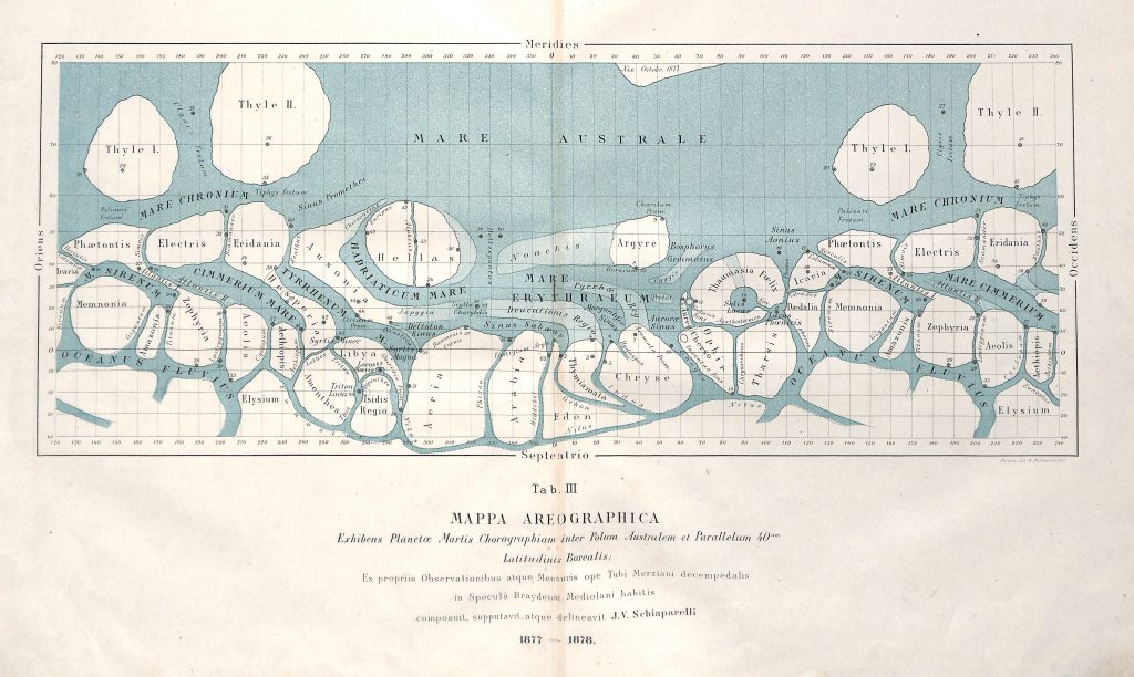
1877 (publ. 1878) Alternative reproduction Alternative reproduction G.V. Schiaparelli: Osservazioni astronomiche e fisiche sull’asse di rotazione e sulla topografia del pianeta Marte fatte nella Reale Specola di Brera in Milano coll’equatoriale di Merz durante l’opposizione del 1877. Atti della R. Accademia dei Lincei, Memorie della Classe di Scienze Fisiche, Matematiche e Naturali, Roma, 1878. p308- M. 1. […]
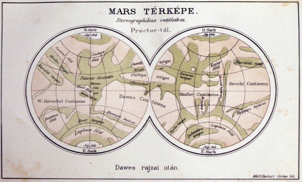
Cartographer: R. A. Proctor Projection: Stereographic 1864 Chart of Mars R. A. Proctor; using drawings by W. R. Dawes 1864/65 The names like Dawes Sea can be viewed as „the seas in Dawes’ drawing” 1867 1867. Source: Rudaux, L. et al 1962; Larousse Encyclopaedia Of Astronomy; London Image courtesy Ton Lindemann 1869 RA […]
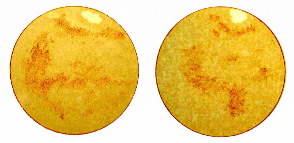
Publication Date: 1877 Cartographer: Konkoly-Thege, Miklós Feature on the map: Syrtis Major (to the right) Observation made in: Ógyalla Observatory Comment of Konkoly-Thege: 1879. okt. 29. Mióta én a Mars felületét vizsgálom, még soha oly rendkívül élesen körvonalozott foltokat nem láttam, mint ma. … A Mars vérpiros színben tűnik elő. A legnagyobb folt a bolygó egyenlítőjéhez […]
Chart of Mars Mercator Projection in true color 1877 N.E. Green in: Memoirs of the Royal Astronomical Society v. 44. p. 138, 1879. Black and white reproduction with higher resolition (source) The colors are more subtle in this reproduction (source) Source Source Ledger, E. 1882; The sun, its planets and their satellites; London Image […]
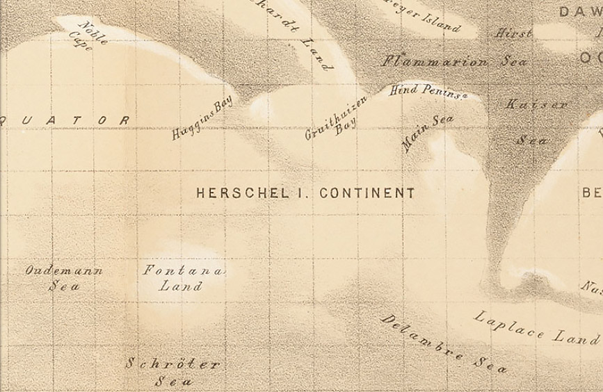
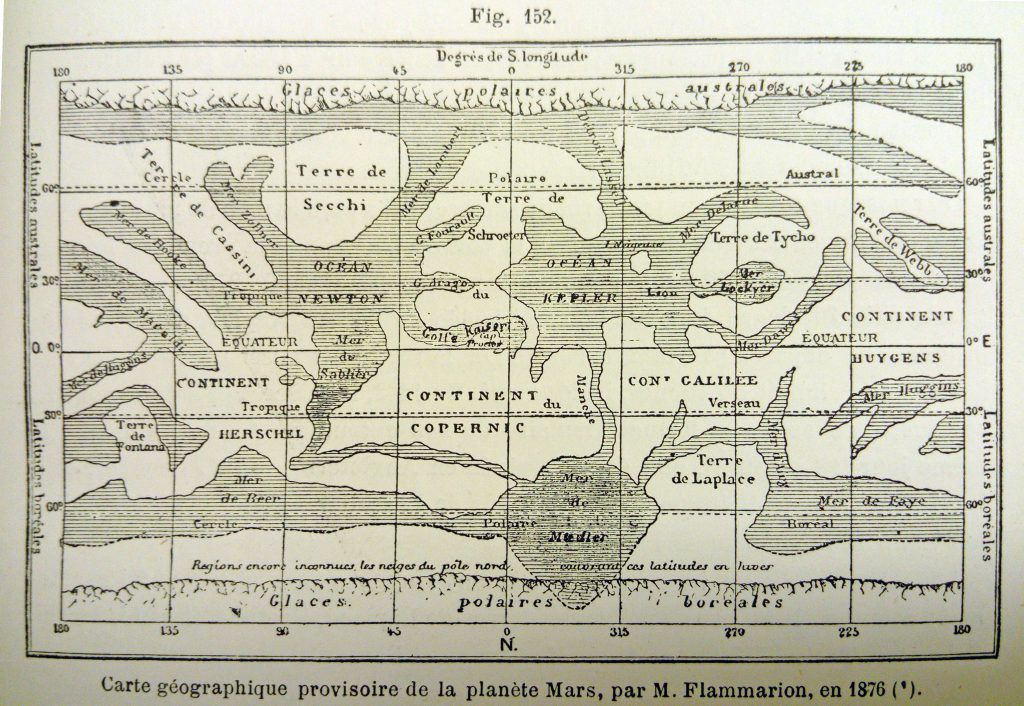
1876 Publication Date: 1876 Source: map 4 in: Percival Lowell: Areography. The Popular Science Monthly, September, 1902. vol. LXI.—25. p 385-406 Note by Lowell: “Resume by Flammarion of all to date”, i.e. of the maps by Beer and Madler (1840), Kaiser (1864), and Dawes by Proctor (1867). Original version Published in: Flammarion, C (1892) La planete […]