Maps of other worlds
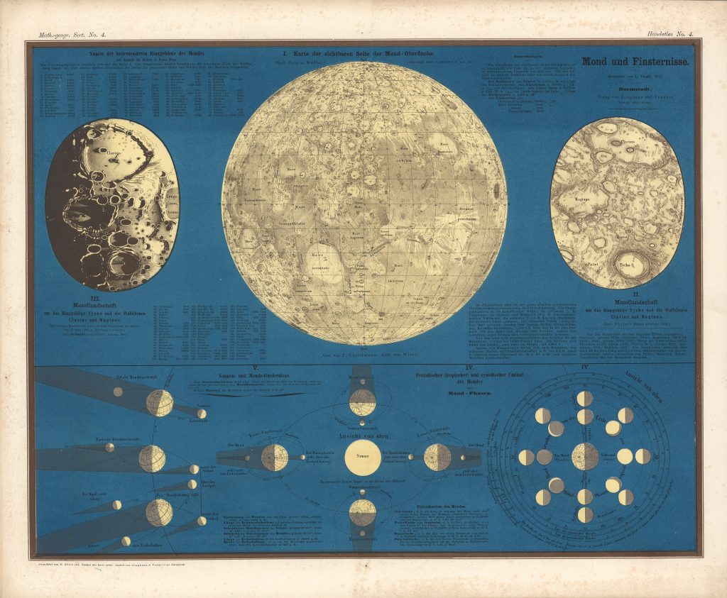
Moon and Eclipses Karte der sichtbaren Seite der Mond-Oberfläche Editor: L. Ewald 1857 Publisher Verlag von Jonghaus und Venator, Darmstadt Scale 1:18M South up Drawn by F Christmann, lithographed by von Wirtz, after Beer and Mädler. Courtesy Ton Lindeman
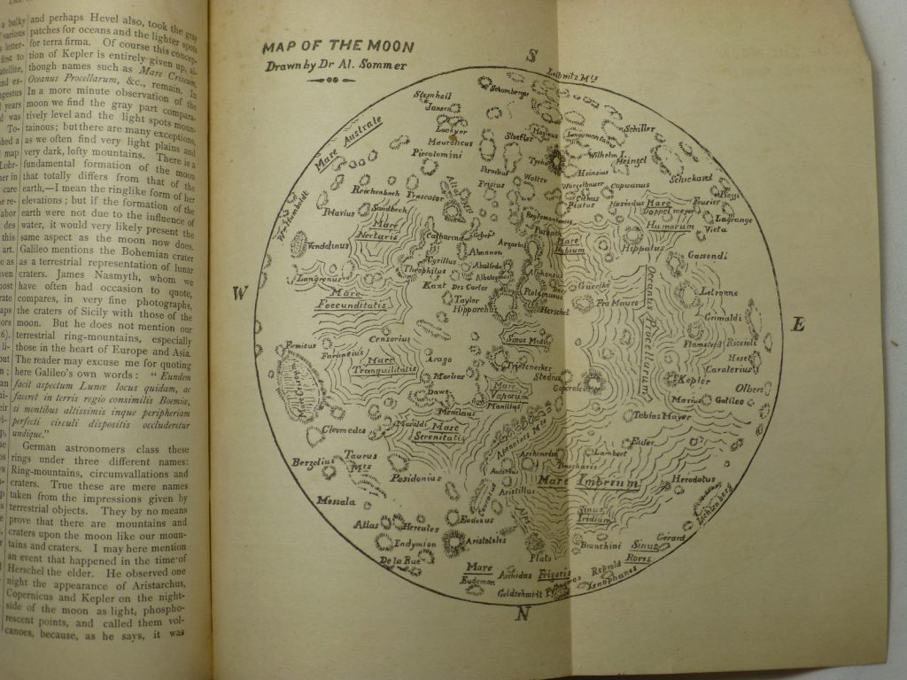
Dr. Alfred Sommer Source: The New Dominion Monthly January, 1879, 58-79 (56 & 65) The first Canadian moon map. Literature: R.A. Rosenfeld, “Dr. Sommer’s Moon: Philology, Cartography, and Oblivion”, JRASC 112, 1 (2018, February), 35-41.
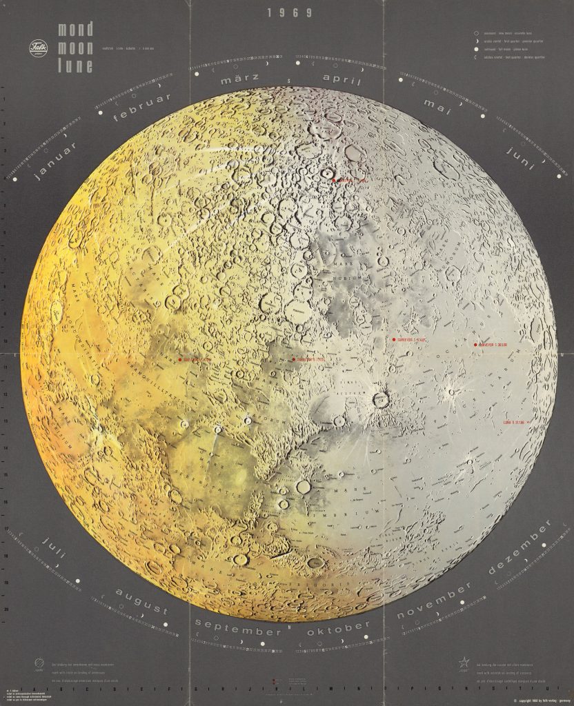
Mond / Moon / Lune 1:8M Calendar for 1969 South-up Dr. L. Hölzel
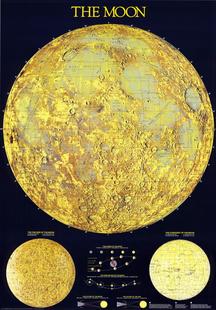
Publisher: Nuova Arti Grafiche Ricordi S r.l. 1988 Latin and Italian nomenclature 99×69 cm
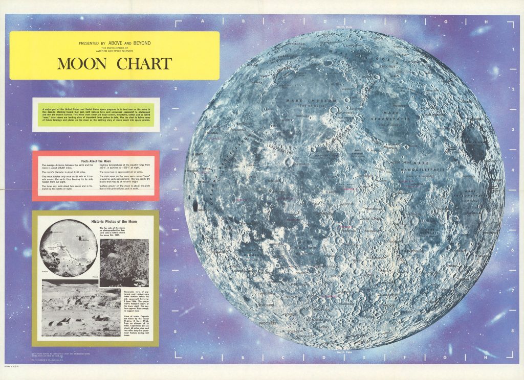
CS. Hammond and CO., 1966 and 1969 Background photo from ACIC Encyclopedia of Aviation and Space Sciences Map 49 x 71 cm. Courtesy Ton Lindeman
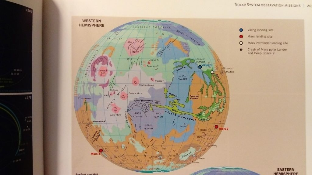
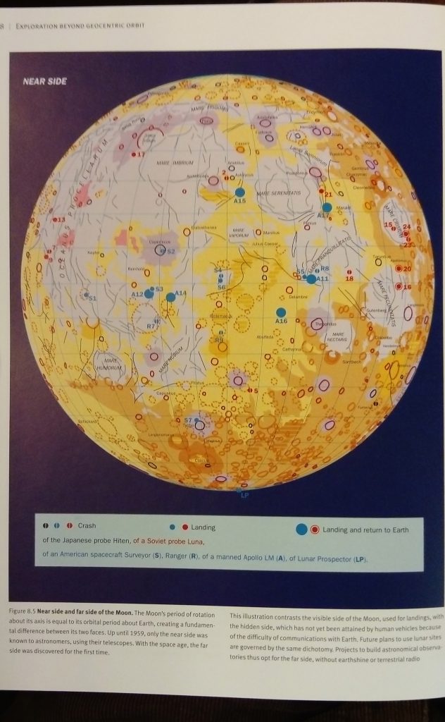
Authors: Raymond Ghirardi, Xavier Pasco, Isabelle Surbès Verger Editions Atlas de géographie de l’espace 1997, 1999 L’espace, nouveau territoire Atlas des satellites et des politiques spatiales. Belin, 2002 The Cambridge Encyclopedia of Space: Missions, Applications and Exploration. Cambridge University Press, 2003
Authors: Raymond Ghirardi, Xavier Pasco, Isabelle Surbès Verger Editions: Atlas de géographie de l’espace 1997, 1999 L’espace, nouveau territoire Atlas des satellites et des politiques spatiales. Belin, 2002 The Cambridge Encyclopedia of Space: Missions, Applications and Exploration. Cambridge University Press, 2003
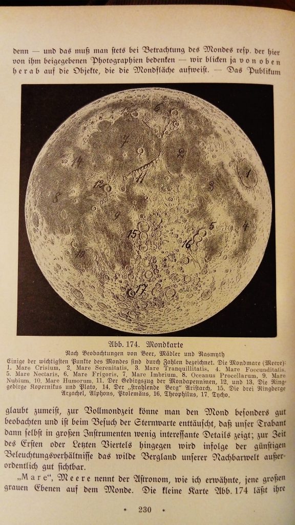
From: Bruno Bürgel: Aus Fernen Welten. 1924 Map is compiled from previous maps. Nomenclature is biscriptual Blackletter-Latin.
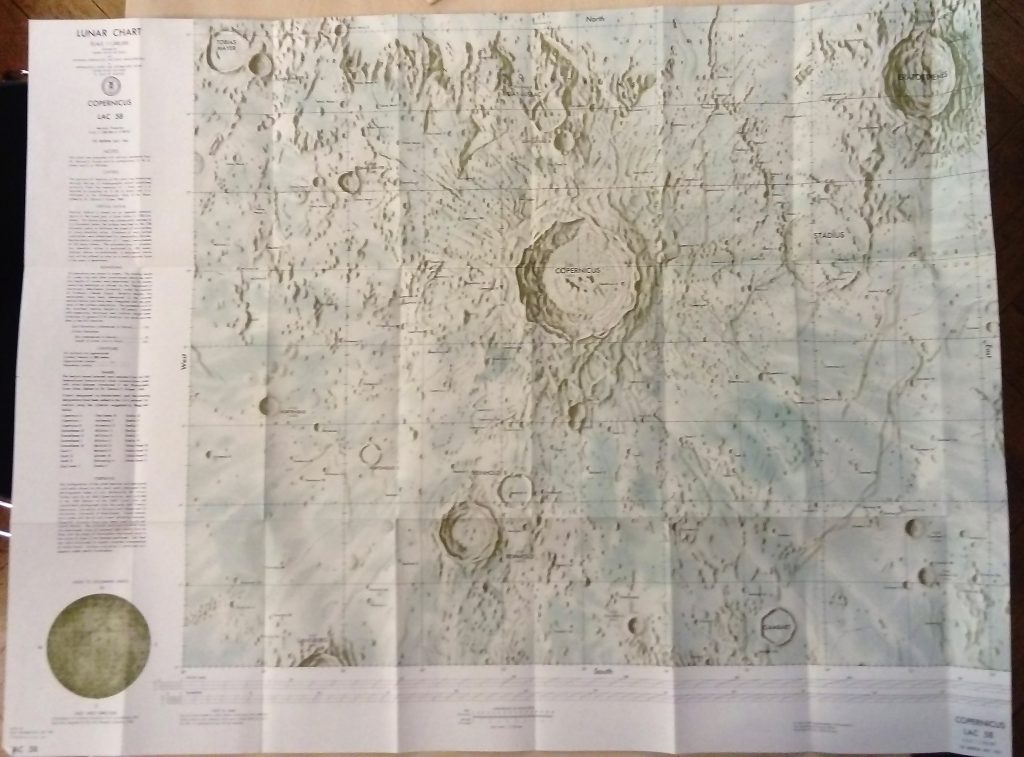
ACIC, 1st Edition, 1961. Source: Carder, R. W. 1962. Lunar Charting on a Scale of 1:1000000. In: The Moon, (Kopal, Z., and Mikhailov, Z. K., editors) IAU Symposium 14, Academic Press, pp. 117-129, supplement to the book
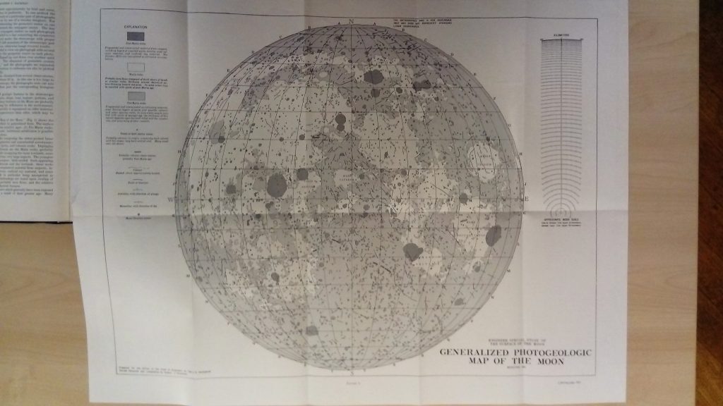
Hackman, Robert J. (research and compilation) Modified 1961 Engineer Special Study of the Surface of the Moon Greyscale units, linework 1:9M (approx), originally compiled at 1:3.8M Prepared for the Office of the Chief of Engineers by the U.S. Geological Survey, as part of a joint program with the Army Map Service Source: AC Mason, RJ […]