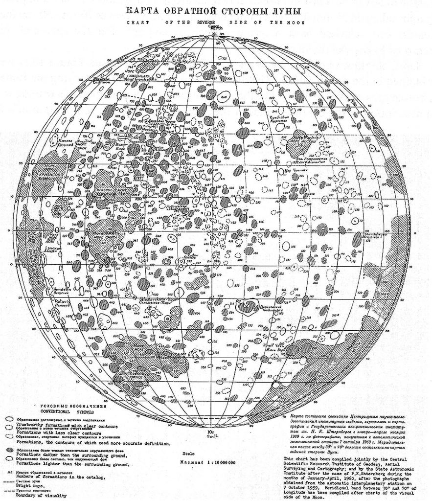
Sternberg Institute’s Chart of the Reverse Side of the Moon (1960)

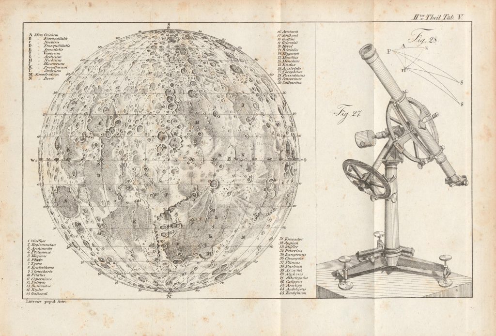
Map of the Moon (Littrow, 1825)

Map of the Moon (Littrow, 1825)

Littrow, J.J. 1825; Populäre Astronomie, vol II; Wien Image  courtesy of Ton Lindemann.

Sternberg Institute’s Chart of the Reverse Side of the Moon (1960)

Sternberg Institute’s Chart of the Reverse Side of the Moon (1960)

Atlas Obratnoj Storony Luny (Part 1) Akademiya Nauk SSSR Moskva 1960. Includes a map of the far side in 4 pages 1:10 000 000 (It is centered at 120 deg, partly overlaps the near side) Cartographic editor: Yurii Naumovich Lipsky Based on Luna-3 photographs Comment by Zh. F. Rodionova: За всю историю картографирования Луны до начала […]

Radefeld’s Mondkarte (1847-1890)

Radefeld’s Mondkarte (1847-1890)

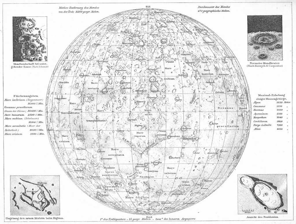
Size:  29.5 x 36 cm Title: Mond Karte Drawn by: Radefeld, C.  in 1847 Uncolored steel engraving North-up First edition Grosser Hand-Atlas uber alle Theile der Erde in 170 Karten, Verlag des Bibliographischen Instituts, Hildburghausen, 1850. (Meyer’s Hand Atlas), Joseph Meyer In the later edition of the Meyer Atlas the above map is replaced by this one: […]

Leipzig Mondkarte (1881-1903)

Leipzig Mondkarte (1881-1903)

Map of the Moon Publisher/Cartographer: Richard Andree Andrees Allgemeiner Handatlas, Leipzig (Germany) Publisher: Bielefeld and Leipzig by Verlag Von Velhagen and Klasing. Page 4 German/Latin nomenclature Upside down (North down) orientation 1881 1st Edition     1903 edition Map size 38 cm x 24 cm.   The 1900 edition in English. Image courtesy Ton Lindemann. […]

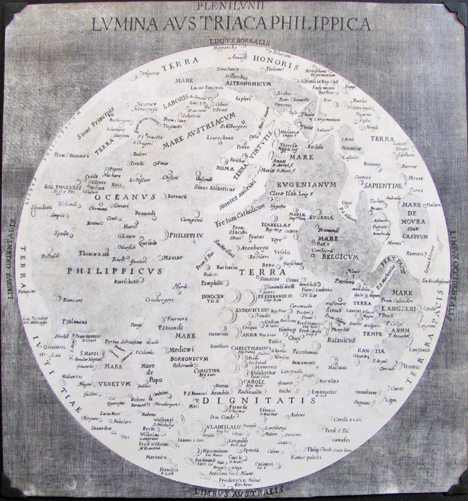
Langrenus’ map of the Moon (1645)

Langrenus’ map of the Moon (1645)

Publication Date: 1645 Cartographer: Michael van Langern (Langrenus) Source: Plenilunii lumina Austriaca Philippica. [By] Michael Florentius van Langren. Copper engraving, 490 x 380 mm, diameter 340 mm. [Brussel 1645.] Map type: Shade relief (from crescent moon observations) + albedo (from full moon observations) with nomenclature Size: 34 cm diameter The purpose of mapping the Moon began […]

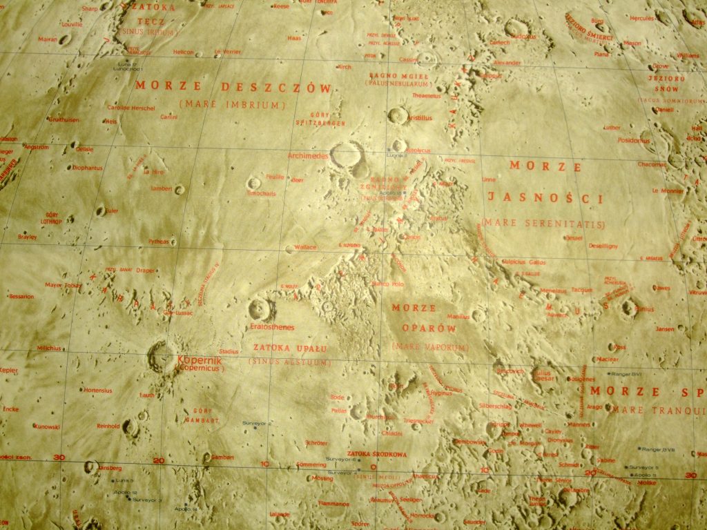
Ksiezych – Polish Moon Map (1971)

Ksiezych – Polish Moon Map (1971)

Ksiezyc Warszawa 1971 Opracowanie Andrzej Marks Cieniowal A Marks Redaktor W. Mozolewska Redaktor techn. W. Lyzwinska Panstwowe Przedsiebiorstwo Widawnictw Kartograficznych 1:4 000 000

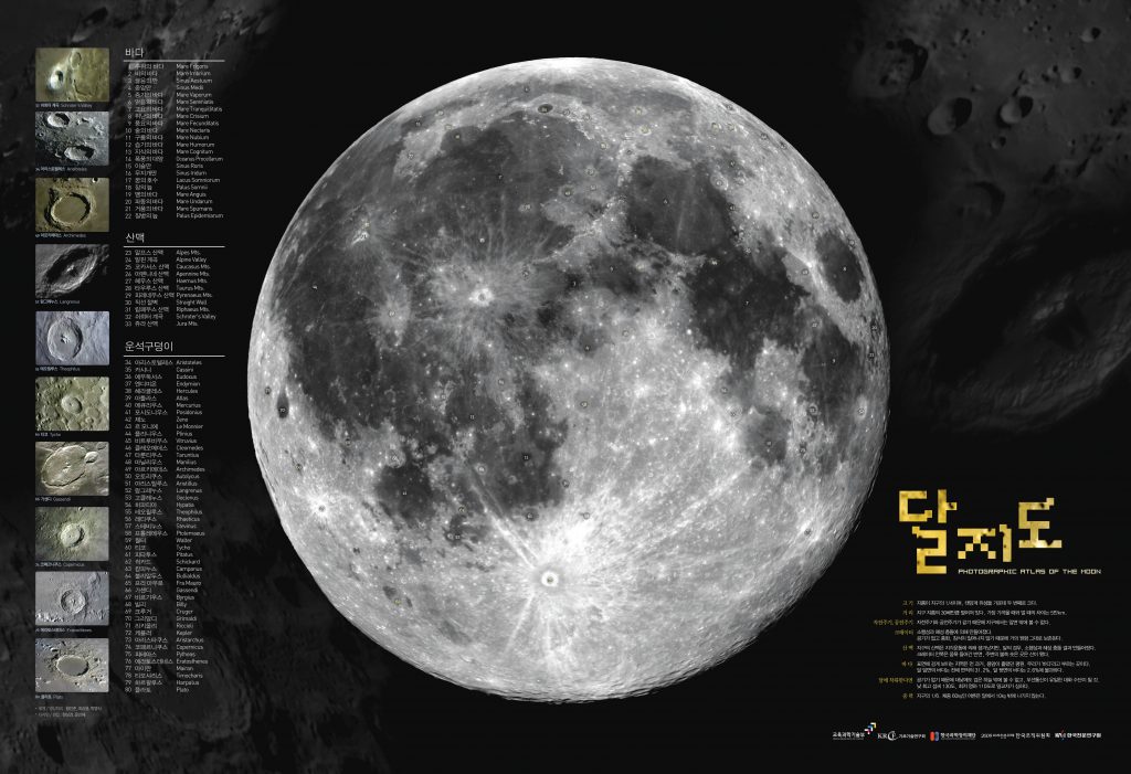
Korean Photographic Atlas of the Moon 2009

Korean Photographic Atlas of the Moon 2009

Made for the Astronomy Year 2009 www.astronomy2009.kr Nomenclature:  Korean and Latin

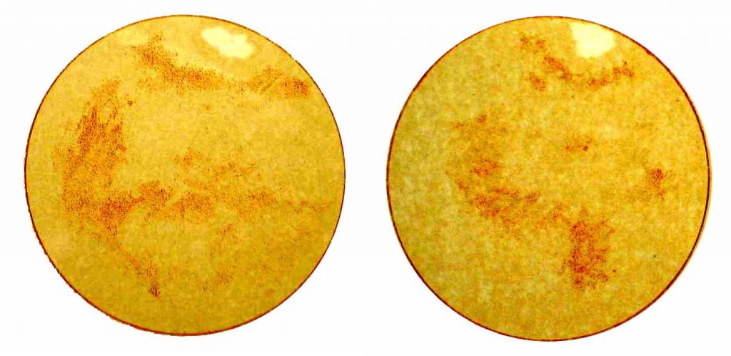
Konkoly’s Drawing of Mars (1877)

Konkoly’s Drawing of Mars (1877)

Publication Date: 1877 Cartographer: Konkoly-Thege, Miklós Feature on the map: Syrtis Major (to the right) Observation made in: Ógyalla Observatory Comment of Konkoly-Thege: 1879. okt. 29. Mióta én a Mars felületét vizsgálom, még soha oly rendkívül élesen körvonalozott foltokat nem láttam, mint ma. … A Mars vérpiros színben tűnik elő. A legnagyobb folt a bolygó egyenlítőjéhez […]

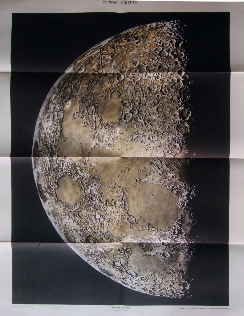
Maps of Quarters of the Moon (1959)

Maps of Quarters of the Moon (1959)

1:5 000 000 Praga, 1959. Drawing by Joseph Klepesta, technical editor Ladislav J. Lukesh Tsentralnoe Upravlenie Geodezii i Kartografii Luna, poslednyaya tsetvert’; pervaya tsetvert’

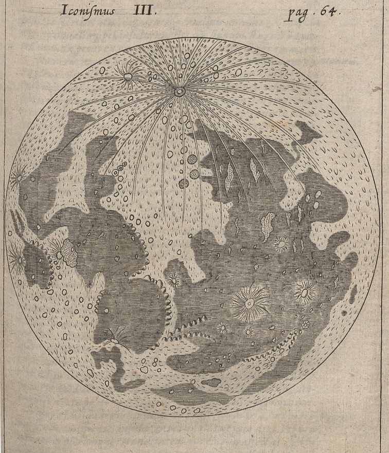
Kircheri’s Drawing of the Moon (1660)

Kircheri’s Drawing of the Moon (1660)

Kircheri, A. 1660; Iter Extaticum Coeleste; Norimberga Image courtesy Ton Lindemann

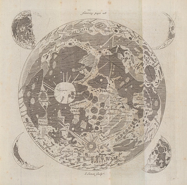
Keill’s Map of the Moon (1778)

Keill’s Map of the Moon (1778)

Keill, J. 1778; An introduction to the true astronomy – or astronomical lectures; London. Image courtesy Ton Lindemann

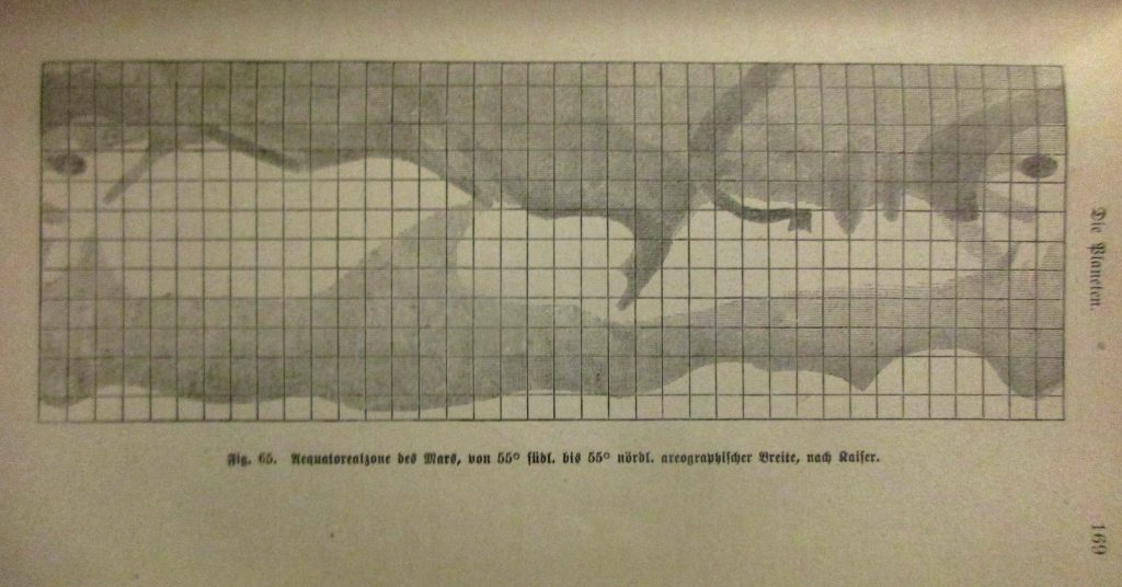
Kaiser’s map of Mars (1864)

Kaiser’s map of Mars (1864)

Cartographer: F. Kaiser Source: Flammarion, C. 1892; La Planète Mars; Paris Courtesy Ton Lindemann Also reproduced in P Lowell: Mars and Its Canals, New York, MacMillan, 1906 Source: Karl Wilhelm Valentiner, 1881, Astronomische Bilder, Leipzig Courtesy I. Almar.