Map of Io (MIIGAiK)
Cartographer: Irina Golodnikova, Moscow Sate University for Geodesy and Cartography (MIIGAiK)
Advisor: Kira Shingareva
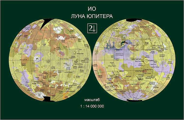
Russian (preliminary) version
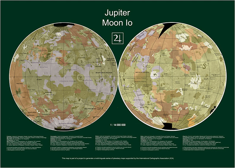
International (Final) version
Map description:
Based on the decision on the final map scale, which resulted in a diameter of 39 cm of the two hemispheres, a first general map layout has been made.
For the production process digital reprographic methods were applied, aiming at an equivalent of a repro screen of 54 points/cm for the relief shading original. A few attempts were made in order to optimise the reproduction of the relief representation, in particular to balance between the bright tones of the highlands and the darker tones of the lowlands.
The coordinate grid of the map whose geometry is based on the Transversal Equivalent Azimuth Projection of Lambert shows every twentieth parallel and meridian.
The lettering is kept in black and displays different fonts: for pateras 7 point Arial, capital letters; for mountain ranges 7 point Arial, italic, capital letters; for plains 7 point Arial, wide spacing, capital letters. Thus it gives explanations on all known and named geographic features. The type of lettering allows to deduce the geomorphologic categories.
Reference: I. Golodnikova, K. Shingareva: Io Map, Final version. ICC2011, Paris.


