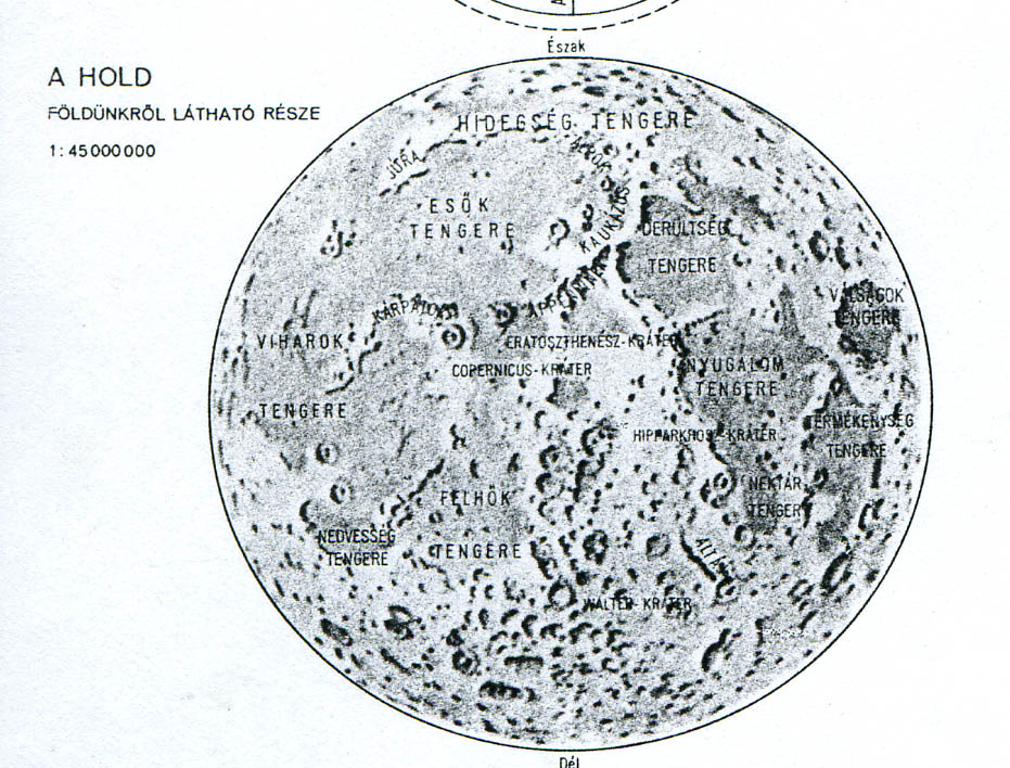
Map of the Moon, Novi Sad (1978)
Published:
Reference: Földrajzi Atlasz, Tartományi Tankönyvkiadó Intézet, Novi Sad – Cartographica, Budapest a school atlas made for Hungarian students in Vojvodina, Jugoslavia. Page: “A Naprenszer és a Csillagos égbolt”
Language of nomenclature: Hungarian
Language of explanations: Hungarian
Map type: Shaded Relief
Scale: 1:45 000 000
Publication Date: 1978
Publication Place: Novi Sad Jugoslavia – Budapest, Hungary
Publisher: Tartományi Tankönyvkiadó Intézet – Cartographica