Lunar equatorial base map I = Preliminary terrain map of the Lunar equatorial belt
Scale 1: 1 000 000
Moon — map
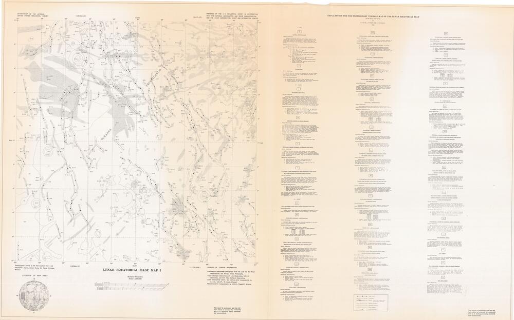
Published and unpublished photographs from the Lick and Mt. Wilson Observatories and Ranger Series Photography. Visual telescopic observations at Lick Observatory, U.S.G.S. Observatory, and Kitt Peak National Observatory. Lunar aeronautical charts and relative relief measurements by A.C.I.C., U.S.A.F., St. Louis, Missouri. Photoclinometric measurements by U.S.G.S., Flagstaff, Arizona.
Selenographic control by the Aeronautical Chart and Information Center, United States Air Force, St. Louis, Missouri