Map 75
Mars — map

Herschel W 1784 On the Remarkable appearances at the polar regions of the planet Mars, the inclination of its axis, the position of its poles, and its spheroidal figure, with a few hints relating to its real diameter and atmosphere. Philosophical Transactions LXXIV Article XIX, 233-237.
This is the first cartographic representation of Mars. (Stooke 2012)
Special projection is used. According to Parley, "The whole of the preceding figures are exhibited together, in a device ingeniously contrived by Sir William Herschel; thus serving to display, as in one map, all the permanent figures round the equator of the globe of Mars."
The map is dated 1783 here

Courtesy of EA Whitaker
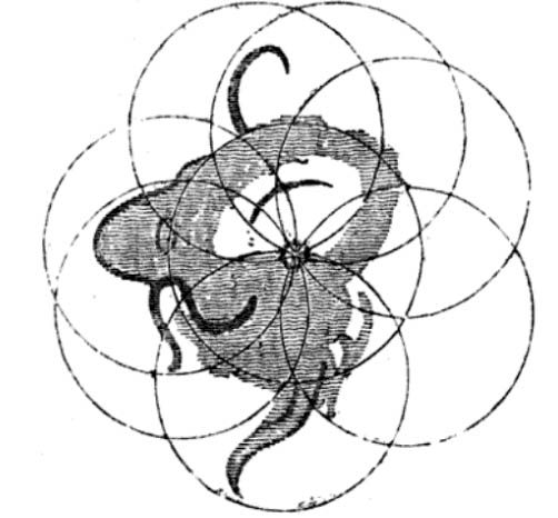
Source: Peter Parley (pseud.): Tales about the sun, moon, and stars. 1837