Preliminary printing
Scale 1: 2 500 000
Moon — map
Series "Preliminary printing",
1:250k 1961, several sheets

(Photos from the Map collection of Stanford University)
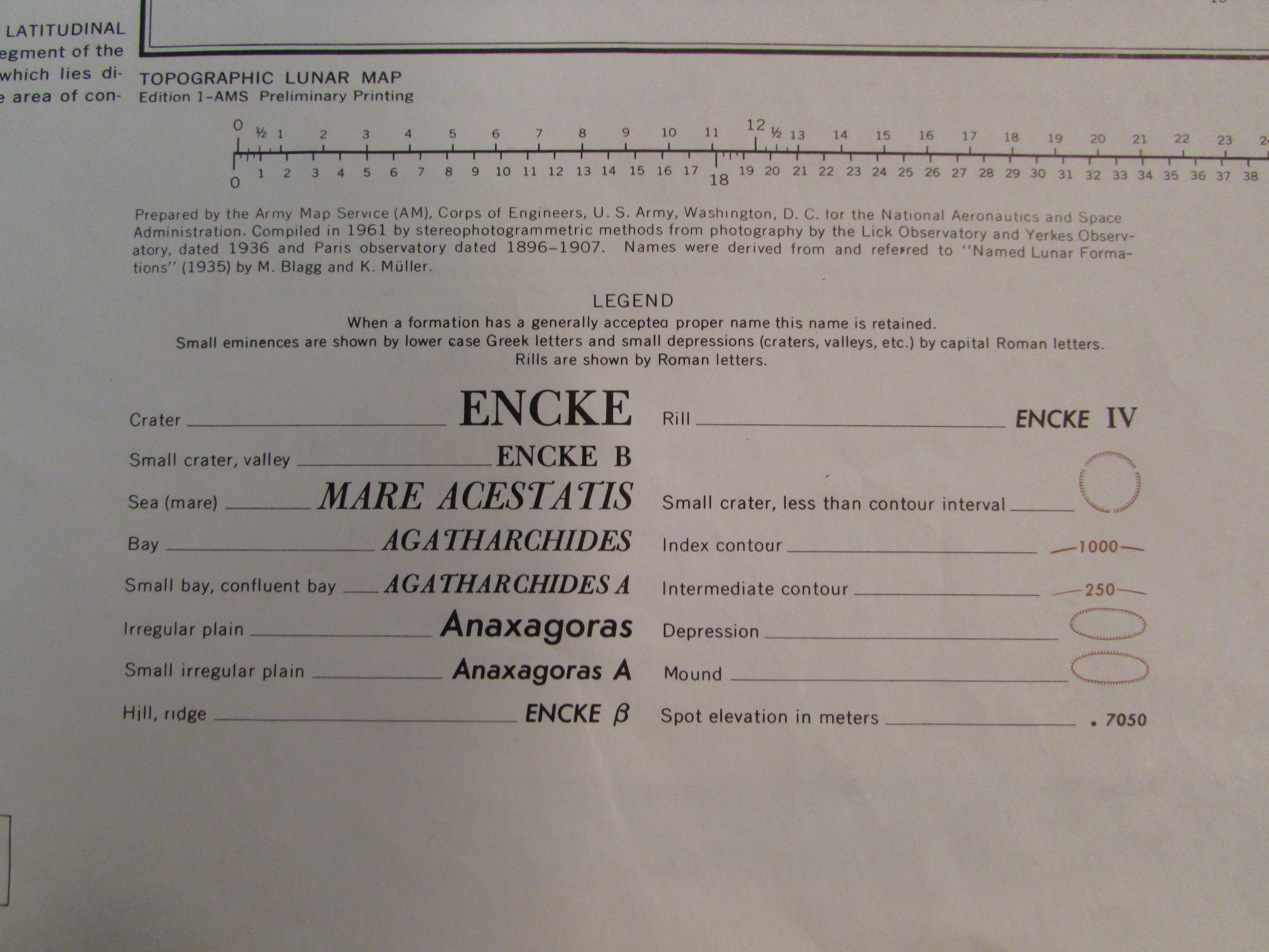
Prepared by the Army Map Service (AM), Corps of Engineers, U. S. Army, Washington, D. C. for the National Aeronautics and Space Administration. Compiled in 1961 by stereophotogrammetric methods from photography by the Lick Observatory and Yerkes Observatory, dated 1936 and Paris observatory dated 1896–1907. Names were derived from and referred to “Named Lunar Formations” (1935) by M. Blagg and K. Müller.
Legend
When a formation has a generally accepted proper name this name is retained.
Small eminences are shown by lower case Greek letters and small depressions (craters, valleys, etc.) by capital Roman letters.
Rills are shown by Roman letters.