Chasma Boreale Region
Scale 1: 200 000
The 200k series
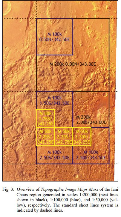
Standard procedure: "the Martian surface is covered in 10,372 individual sheets in equal-area projections:
- Sinusoidal Projection for latitudes between 85° north and south and
- Lambert Azimuthal Equal-Area Projection around the poles.
While all map sheets cover 2° in latitude, the longitude extent increases from 2° in the equatorial zone towards 360° at the poles.
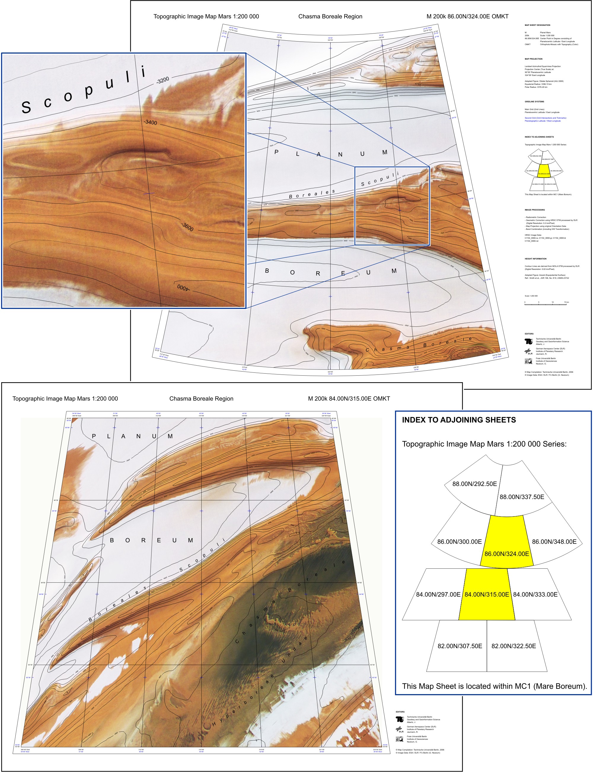
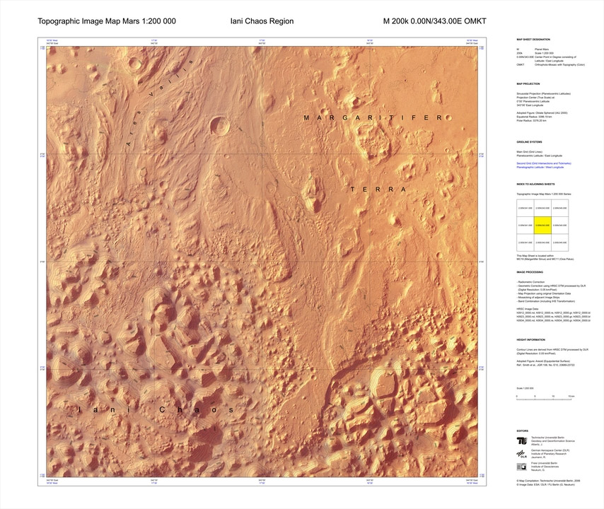
Based on: HRSC data
Editors: Alberz J, Jaumann R, Neukum G (TU, DLR, FUB)
Date: 2005-2007
References
https://astrogeology.usgs.gov/search/map/Research/ISPRS/ISPRS_465_J_Albertz
"Each map sheet has been generated automatically using the software PIMap" (Source)