

The Catalog of Planetary Maps.
Sources: The research that led to this catalog was supported by Fulbright Hungary Grant No. 1222202, awarded to H. Hargitai for research at USGS Astrogeology, Flagstaff, Arizona (advisor: Trent Hare), and by the ICA Commission on Planetary Cartography (advisor: Kira Shingareva). Most of the data is based on the inventory of the map library of USGS Astrogeology.
Copyright and Use Notice: Published U.S. Geological Survey and U.S. Air Force maps are generally in the public domain. Some maps reproduced or displayed on this site may be protected by copyright.
This website includes thumbnail images or excerpts of maps for identification, documentation, research, and educational purposes only. These uses are believed to qualify as fair use under U.S. copyright law. Full-resolution copyrighted maps are not hosted unless explicit permission has been obtained or the material is confirmed to be in the public domain.
The inclusion of any map or photograph in this catalog does not imply that it is free of copyright restrictions. Responsibility for determining copyright status and obtaining necessary permissions rests entirely with the user.
If you are a copyright holder and believe material on this site is used inappropriately, please contact the curator (hargitai.henrik@btk.elte.hu) with details so we can review and address your concerns promptly.
Photos: Unless otherwise indicated, all photographs are by H. Hargitai. Several photographs are from the USGS Astrogeology Map Library and Lowell Observatory, both in Flagstaff, Arizona. Several photographs of Soviet maps were taken at MIIGAiK, Moscow.
Contact: The catalog is curated by H. Hargitai, ELTE, Budapest, hargitai.henrik@btk.elte.hu.
Фотокарта Венеры
Scale 1: 5 000 000
Fotokarta Venery
Photomap of Venus
Venus — map
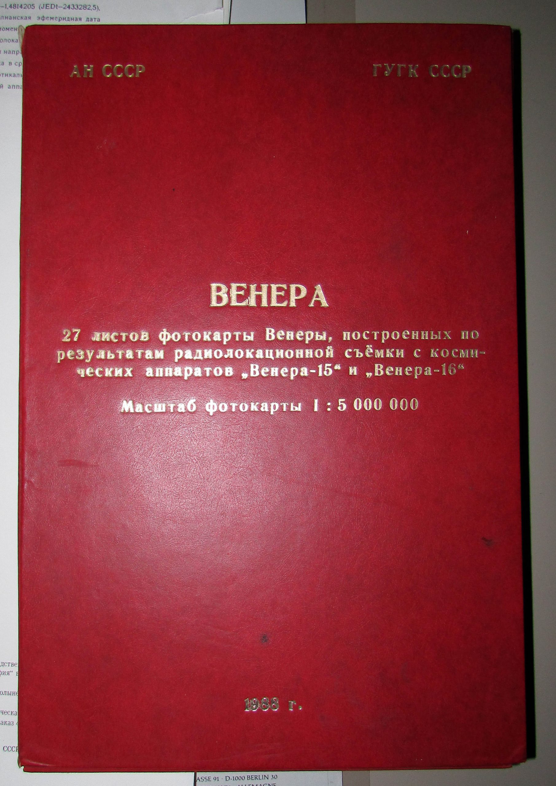
AN SSSR GUGK SSSR
Venera
27 listov fotokarty Venery.
Map series of Venus based on Venera 16 and Venera 17 observations
1:5M
Boxed folded edition and sheet map edition
Using Venera-15, -16 radar images of the Northern part of Venus
GUGK 1987, Full edition 1988
See also: Atlas of Venus
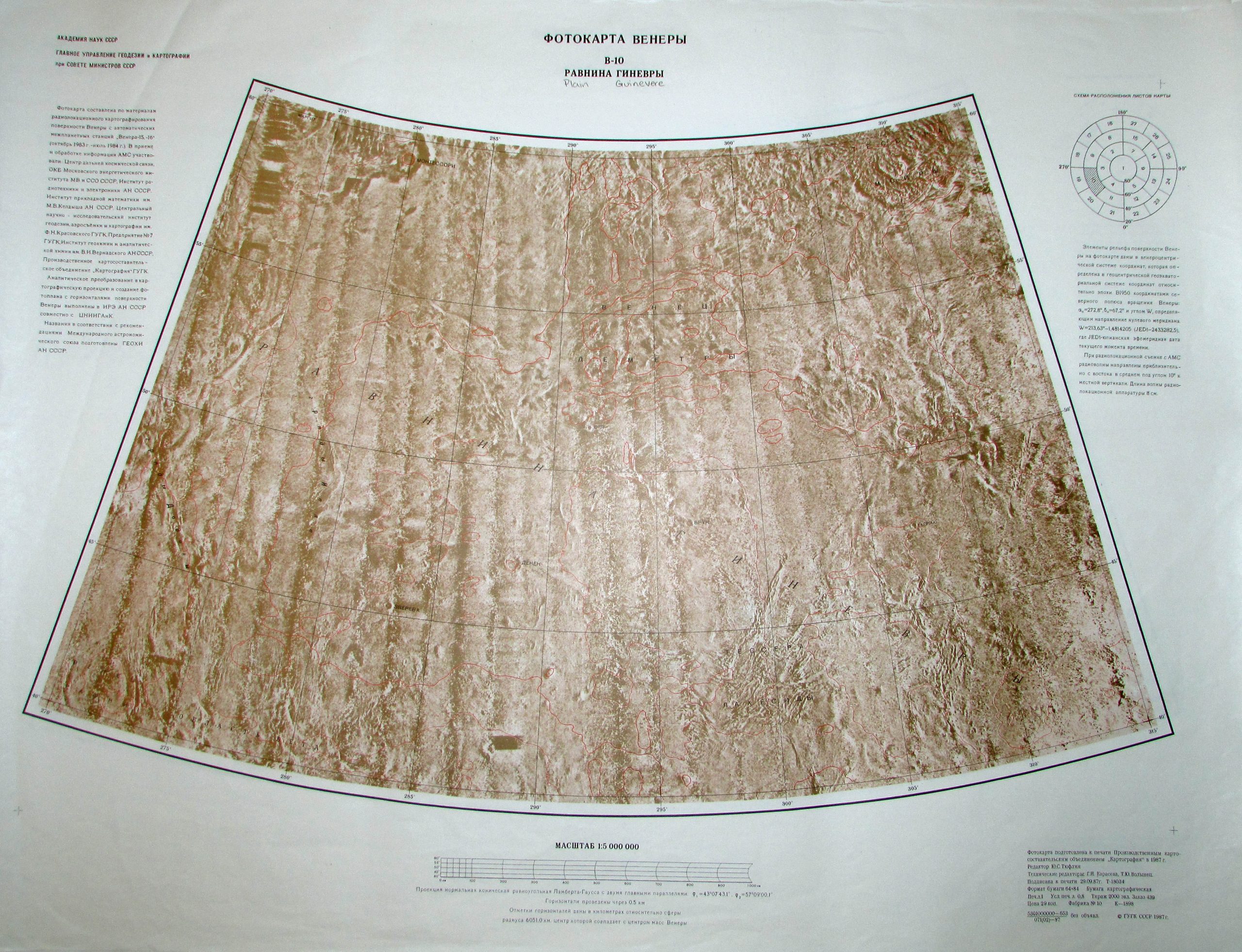

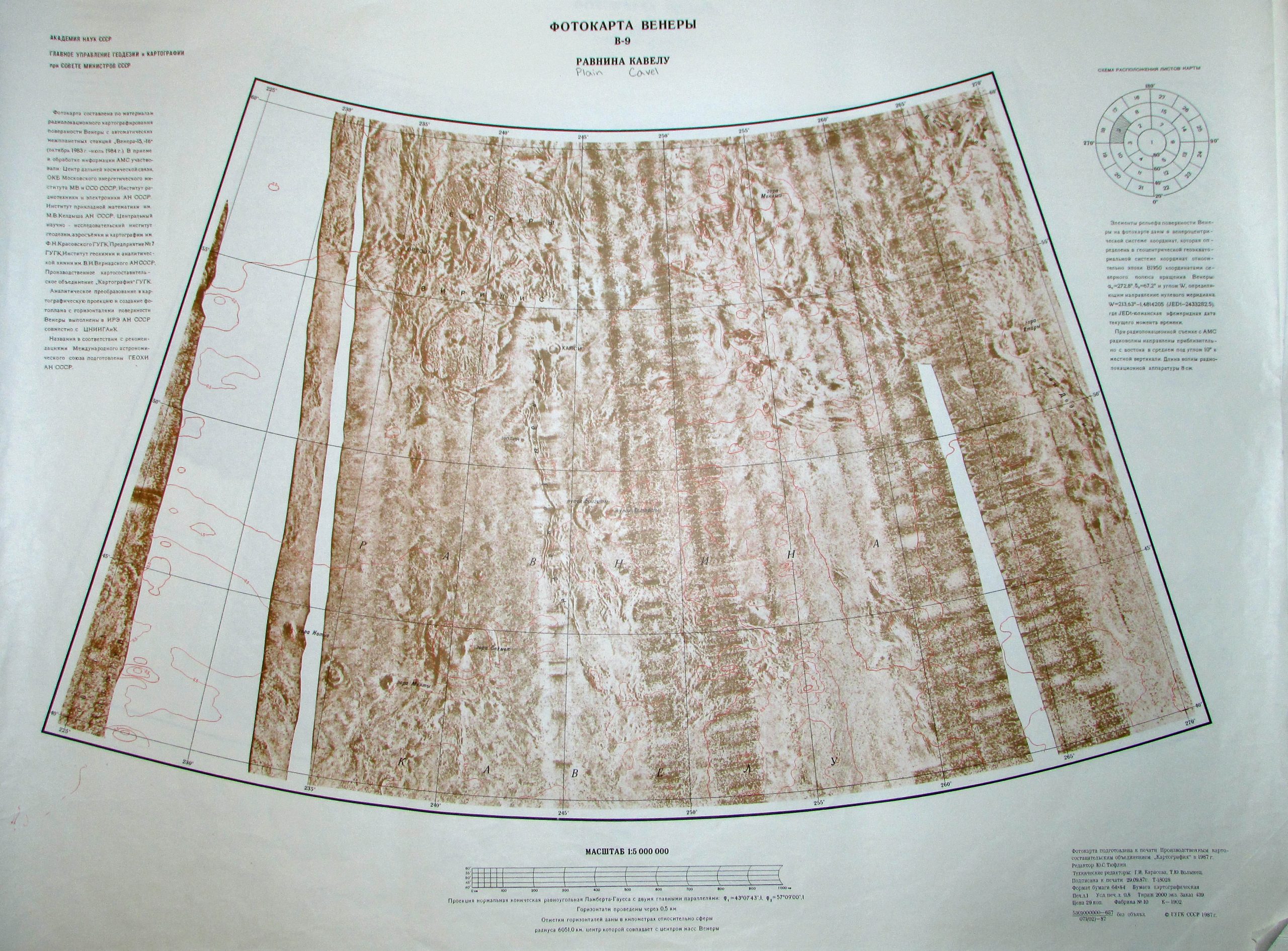
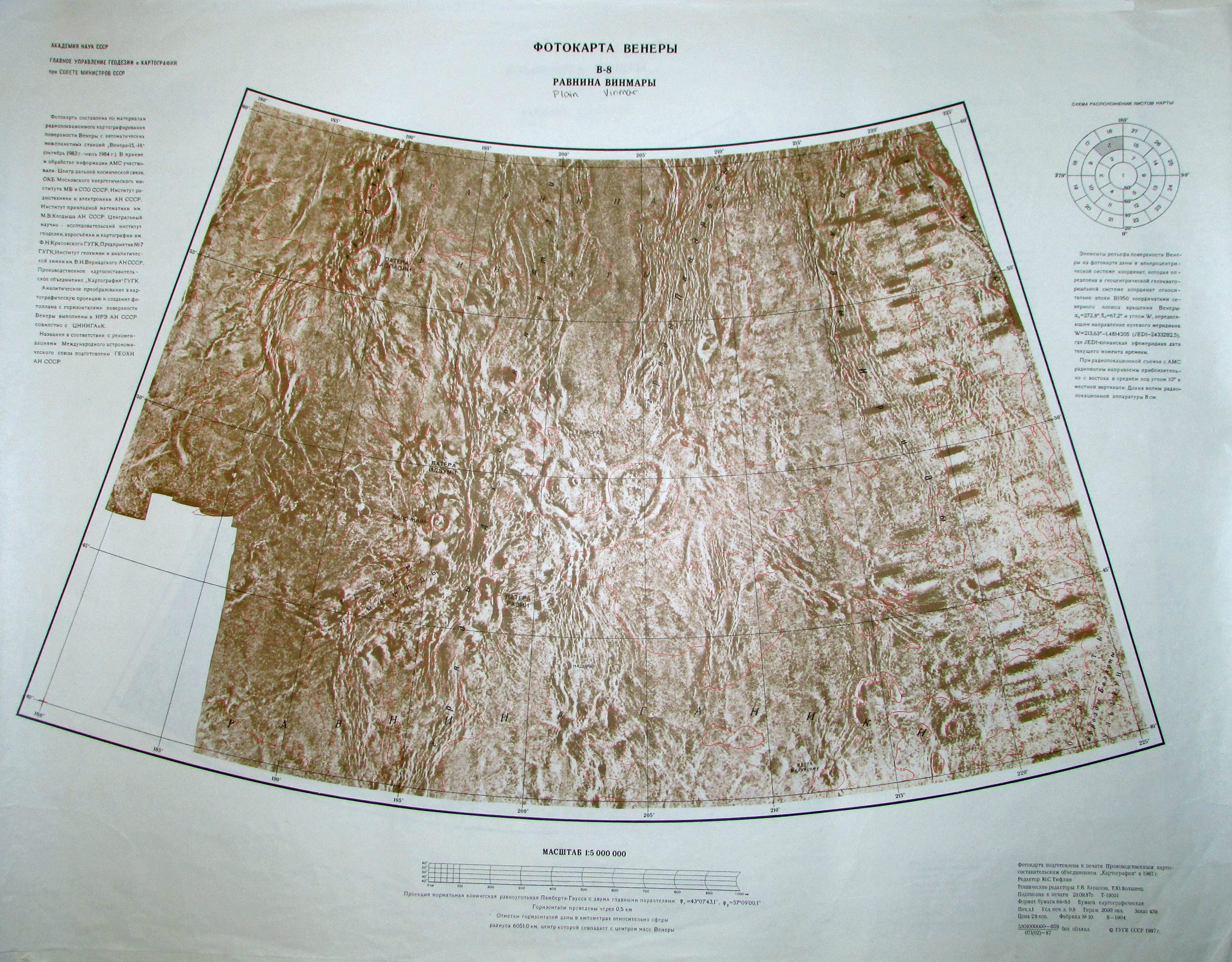
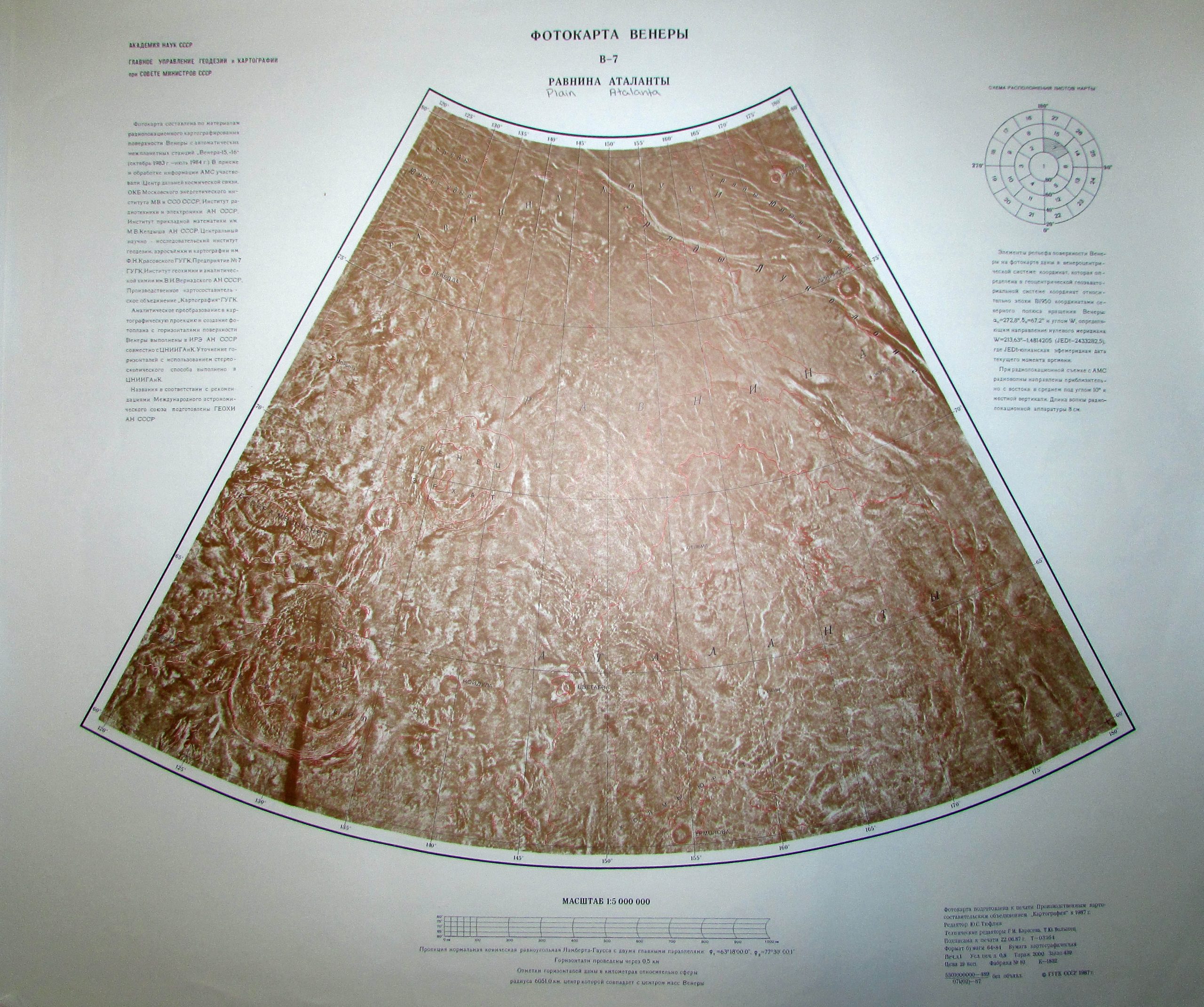

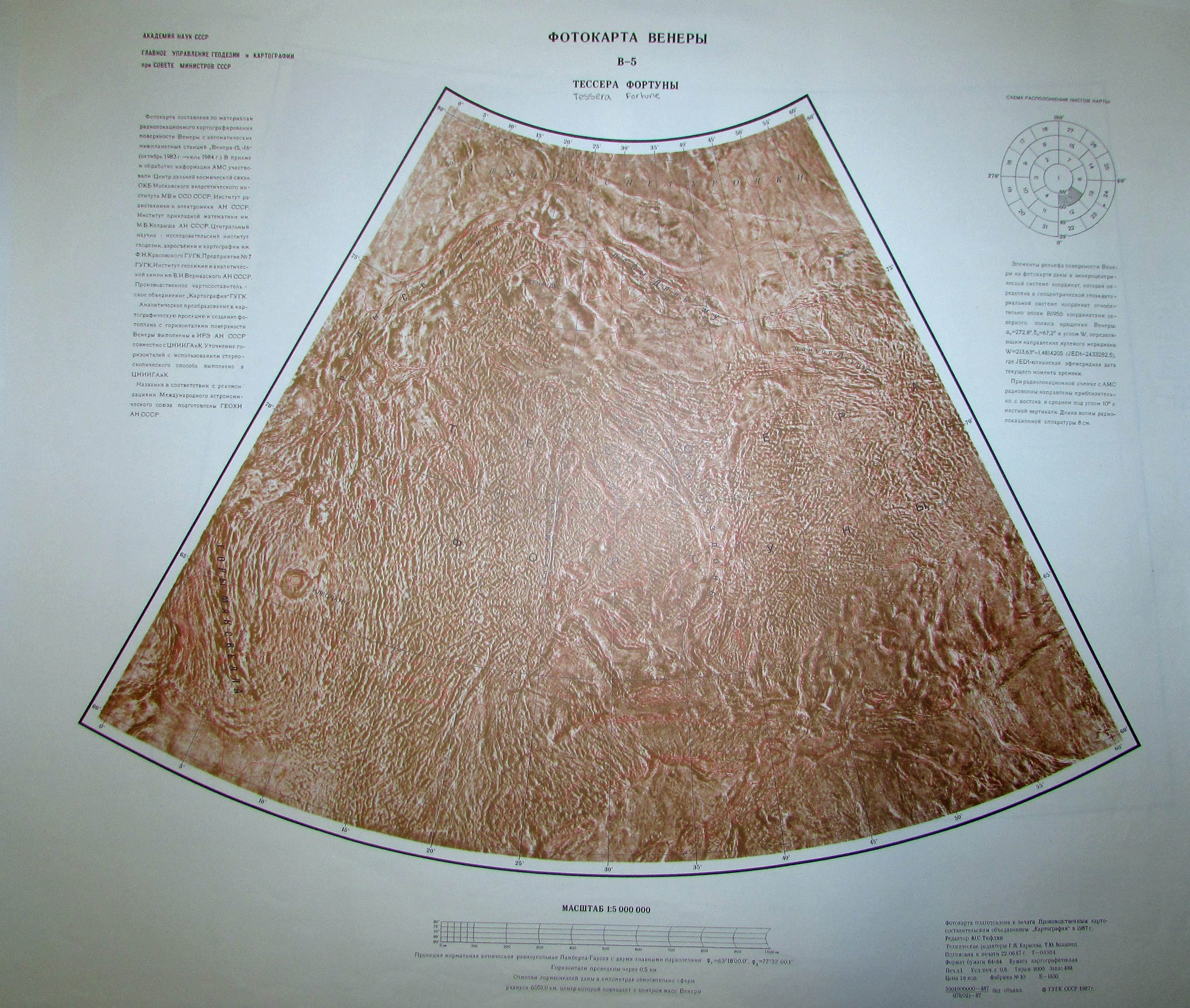
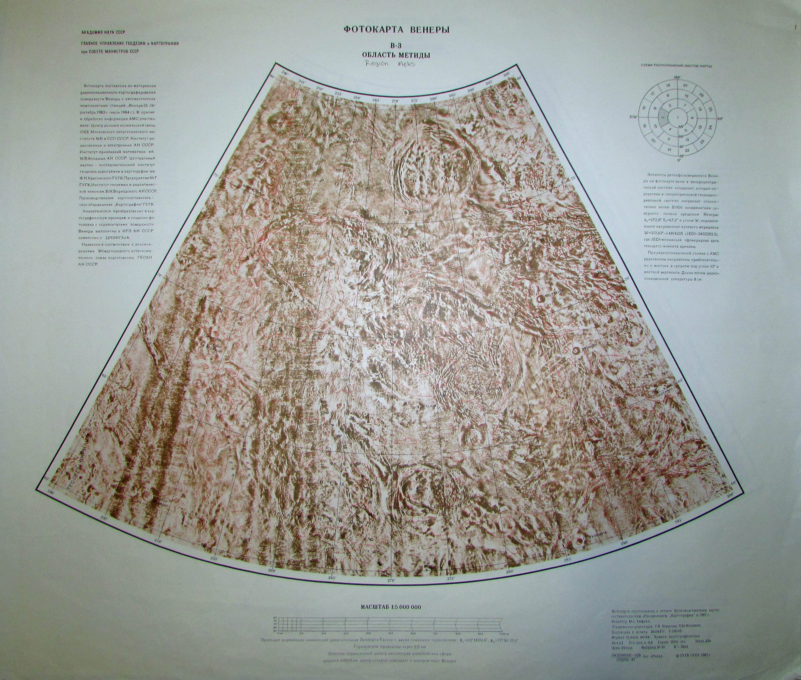
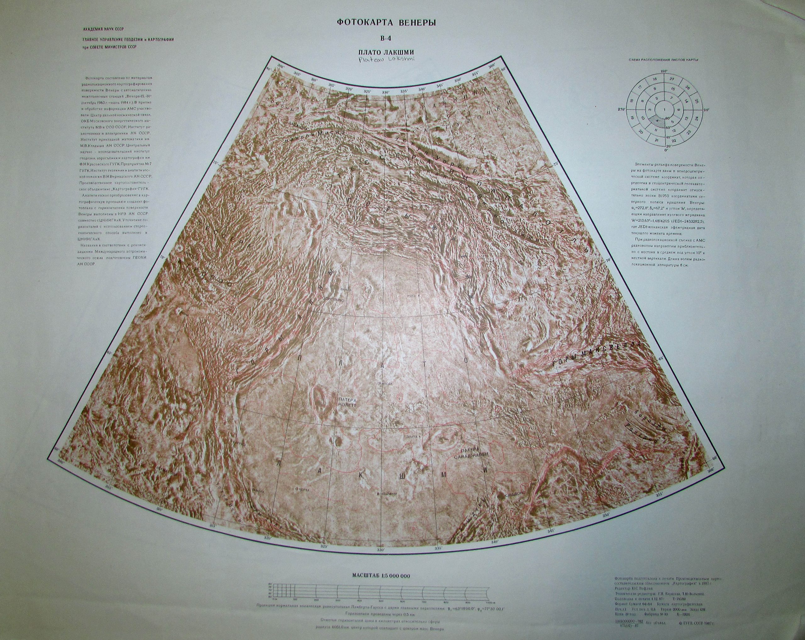
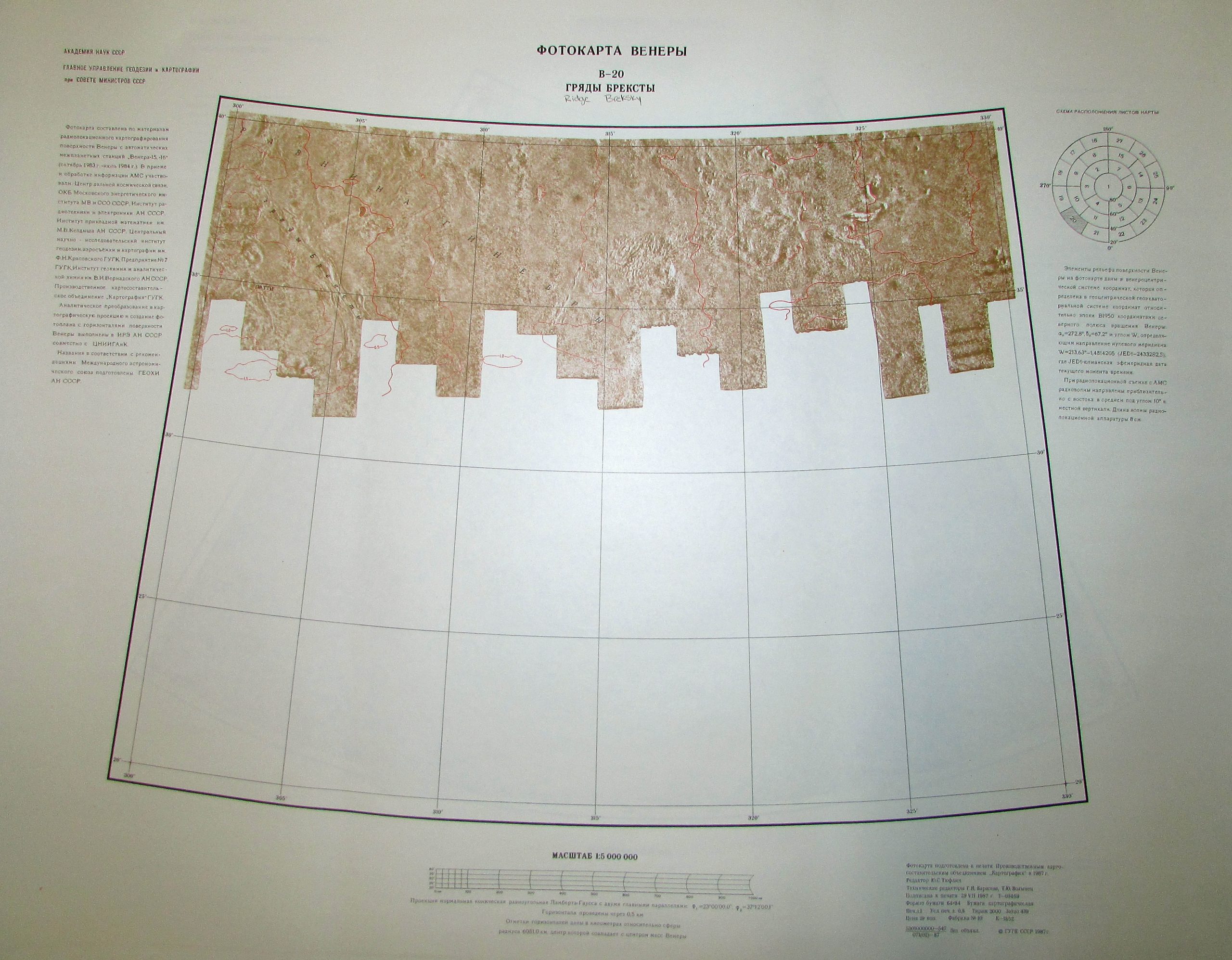
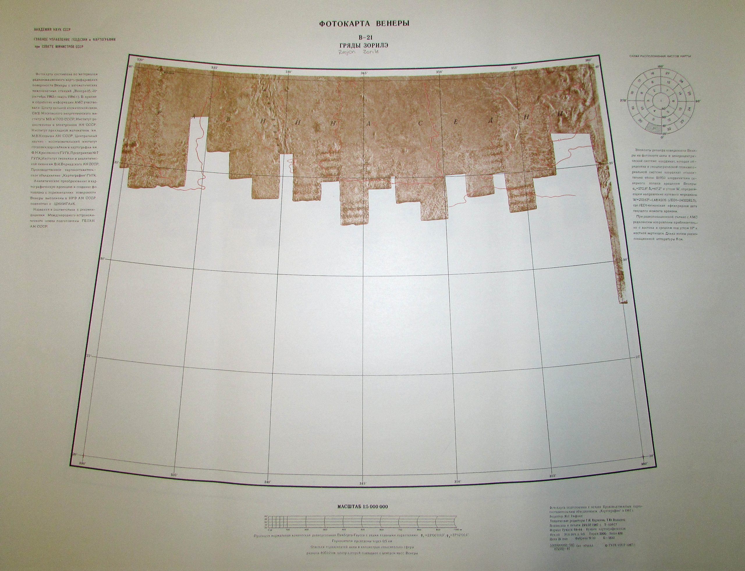
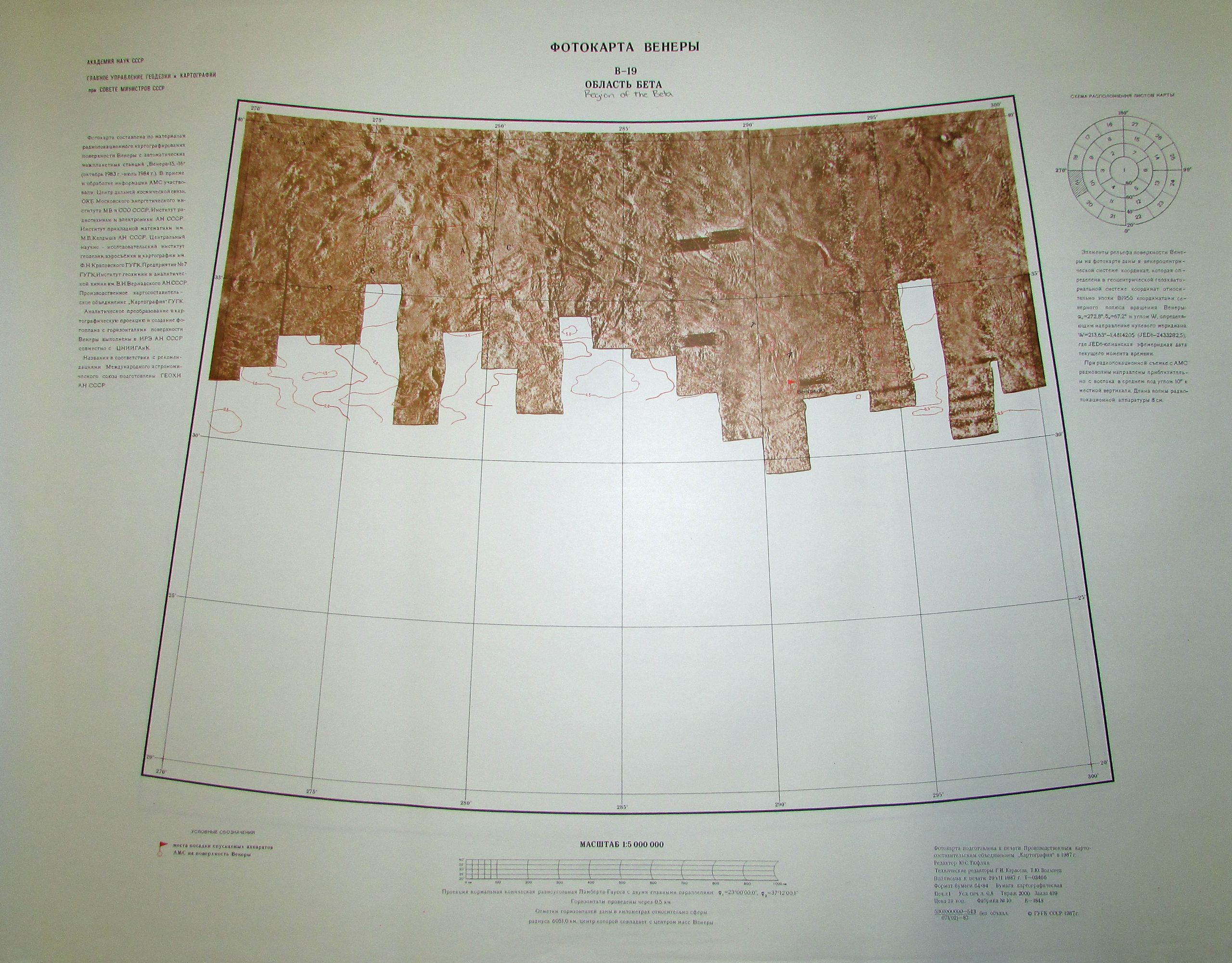
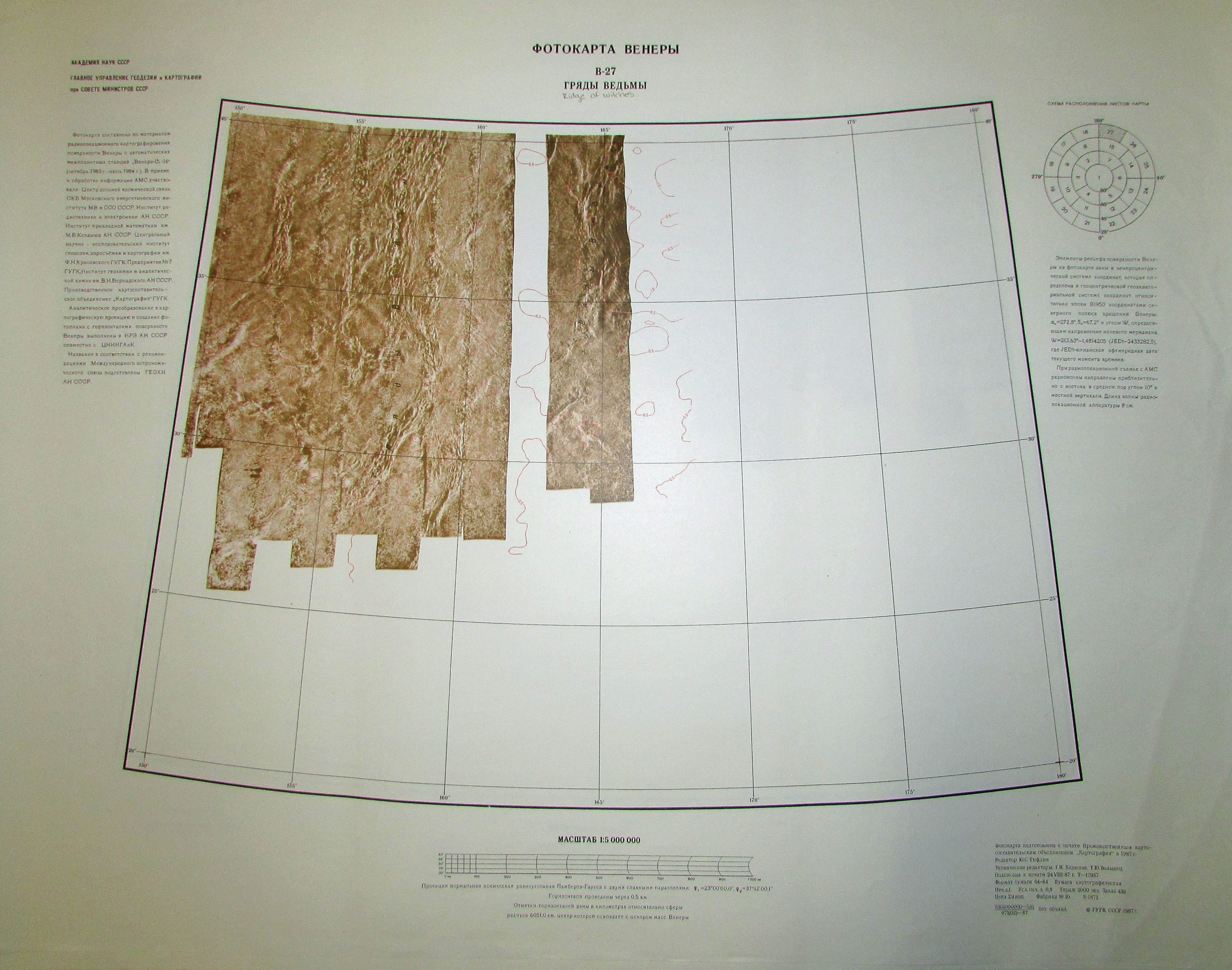


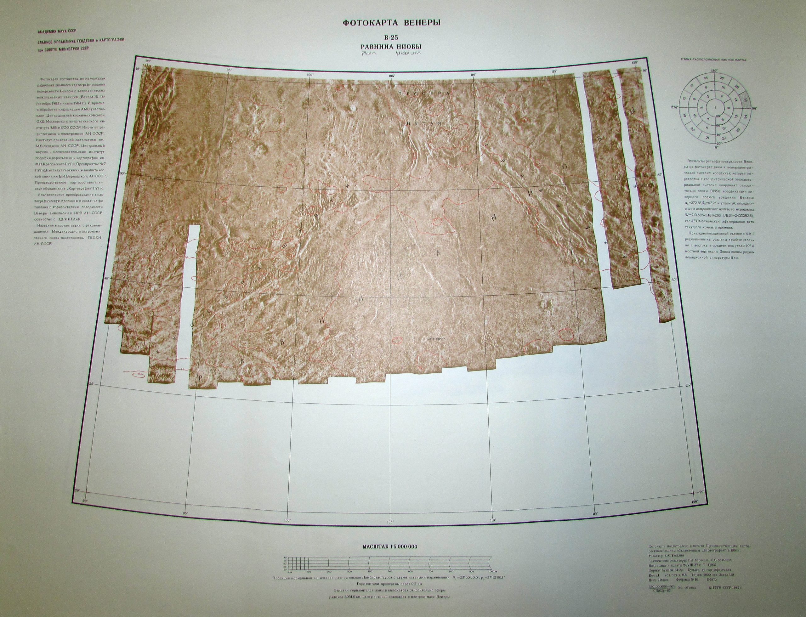
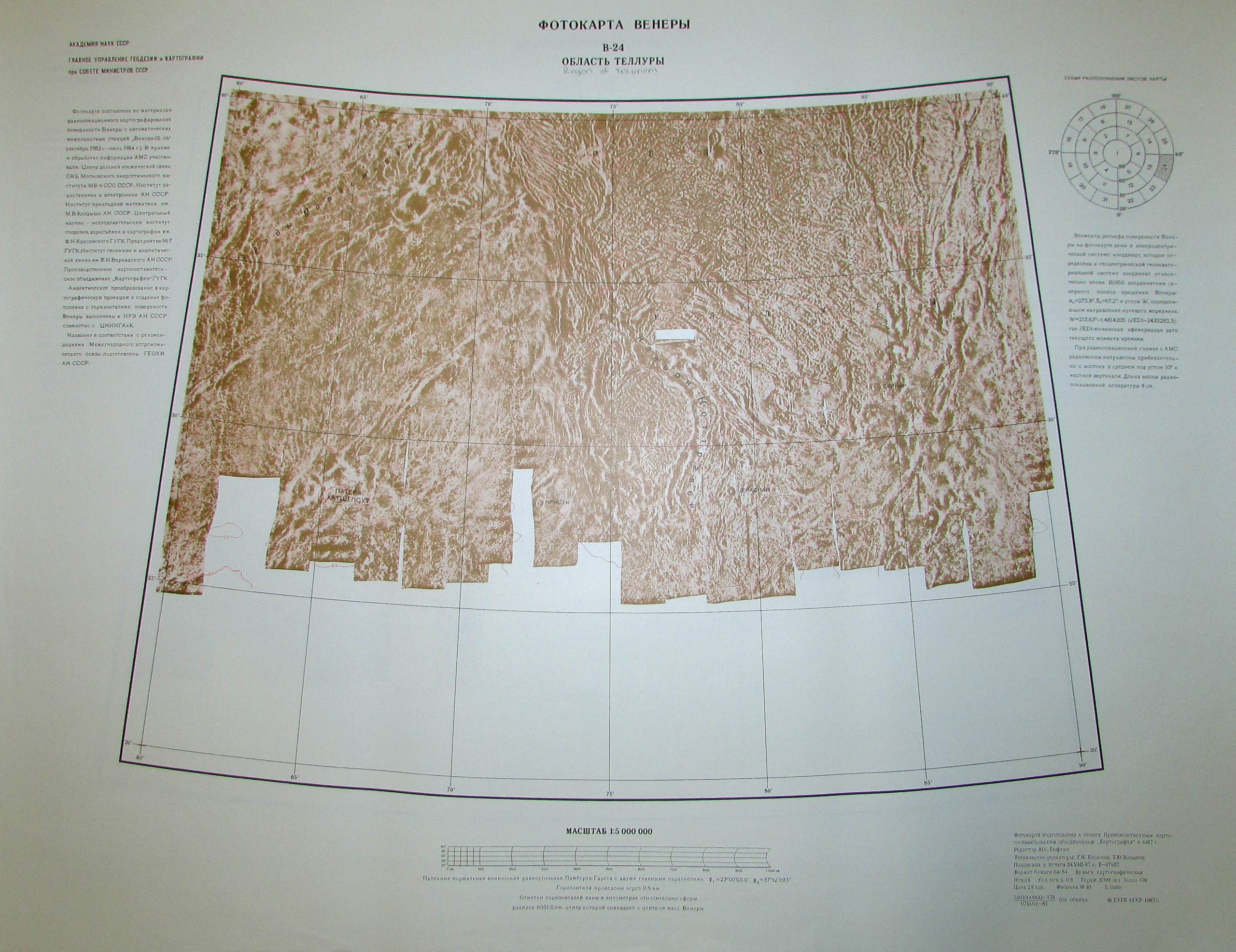
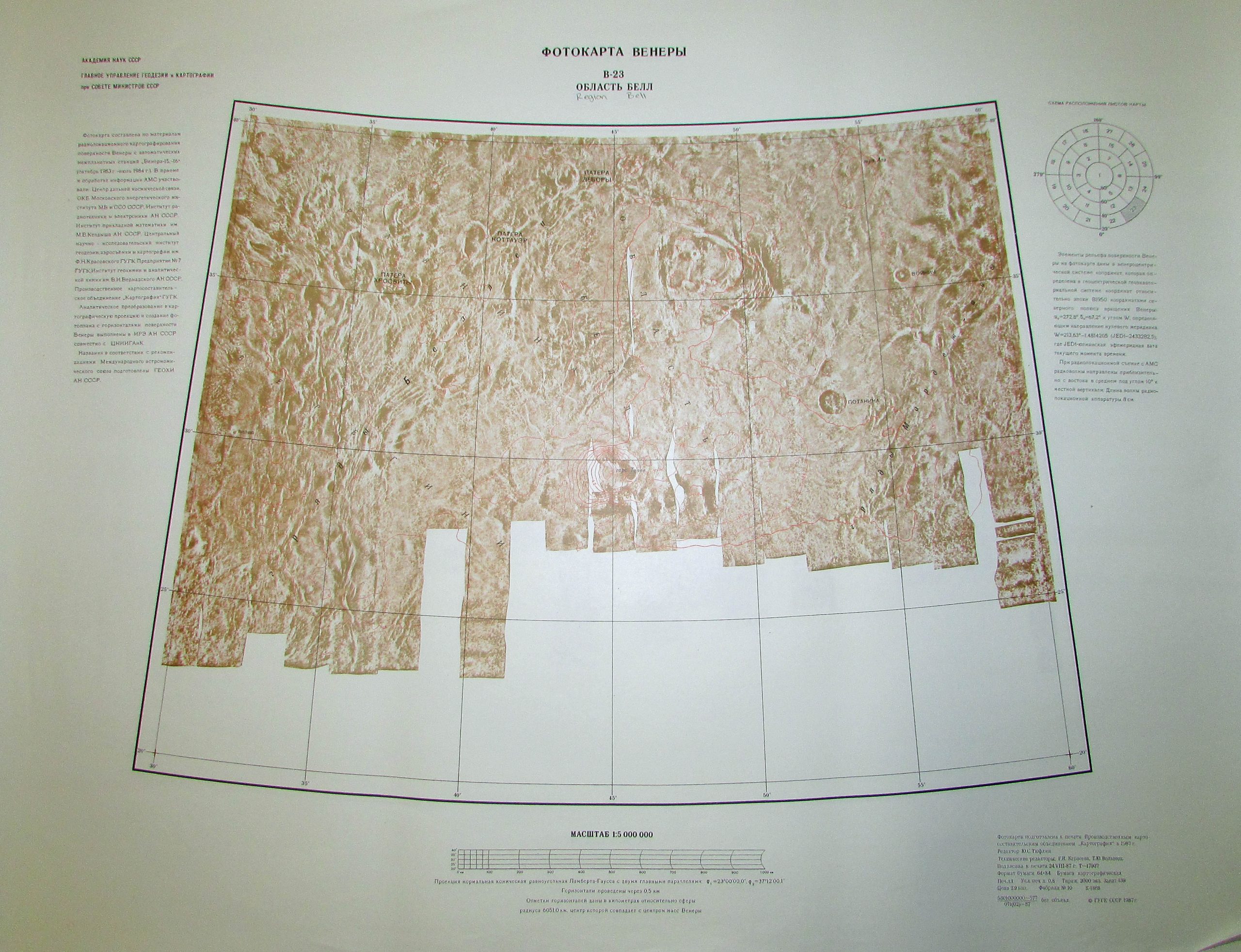
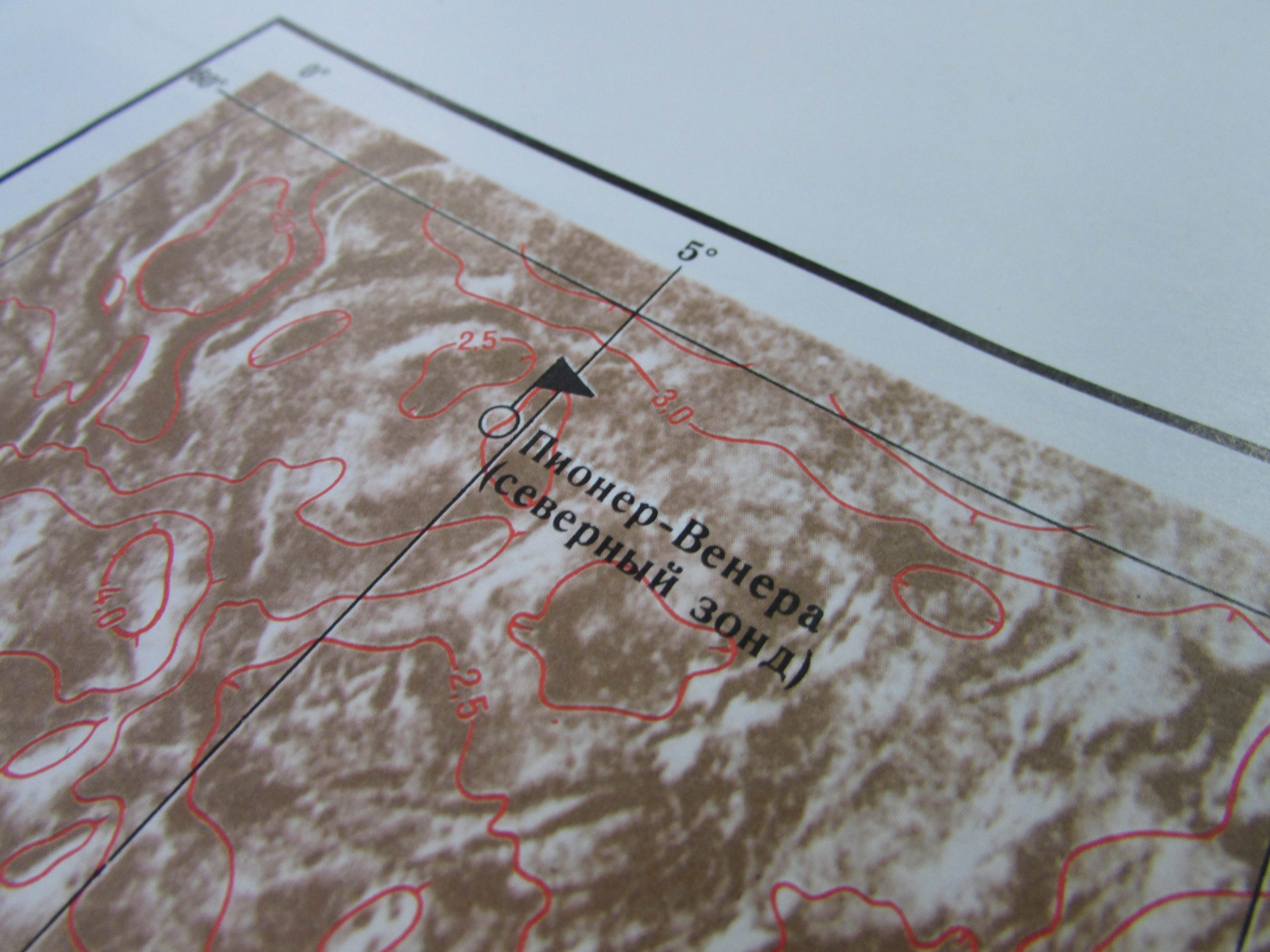
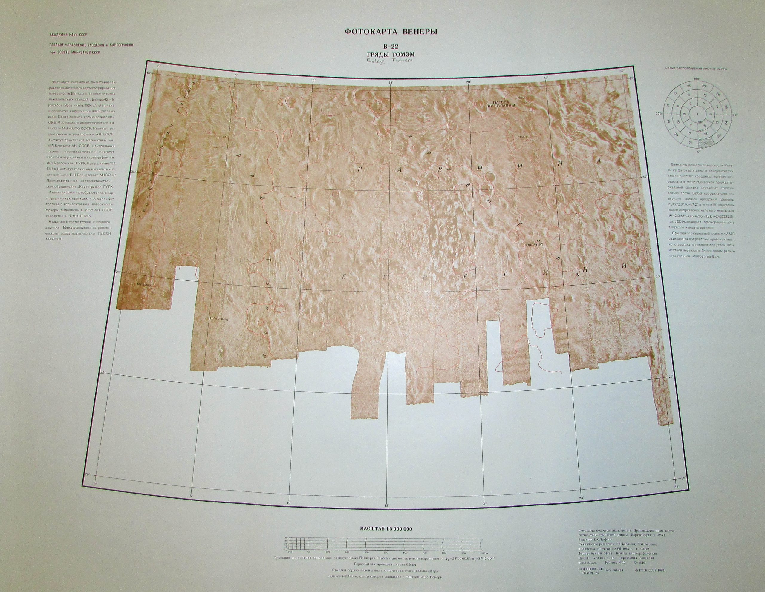

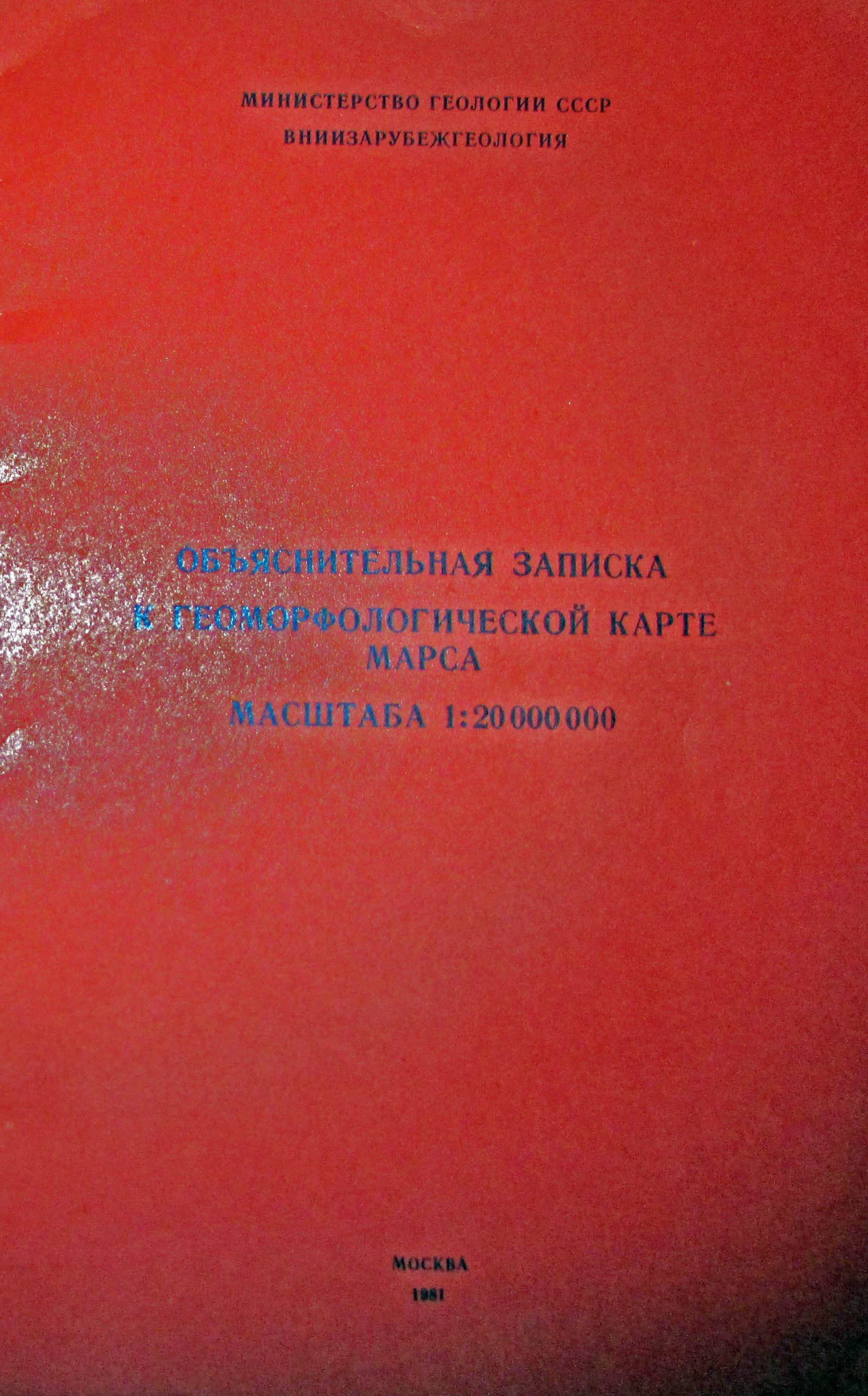
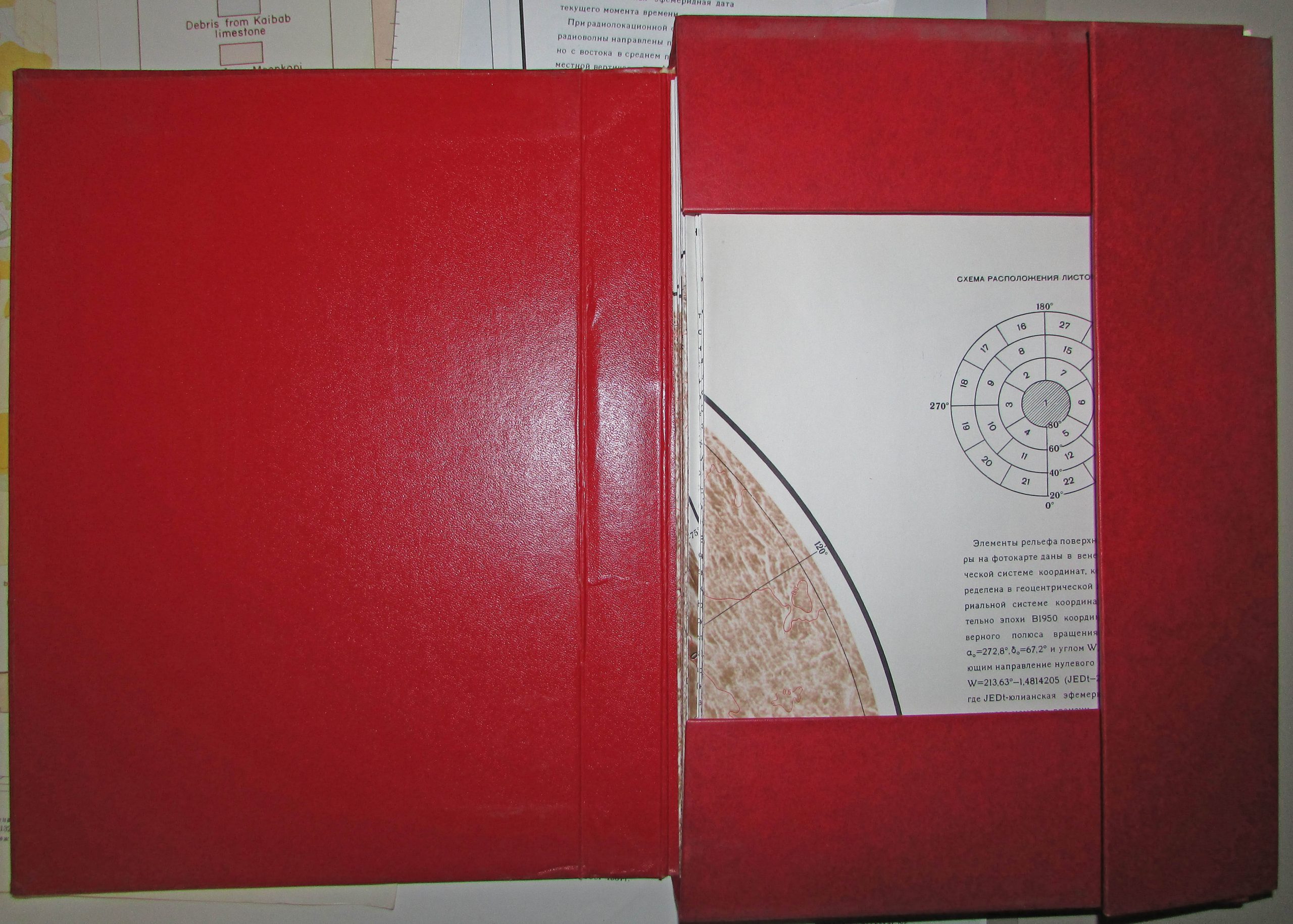
Maps provided courtesy of the USGS Flagstaff Library.
Alternative photos
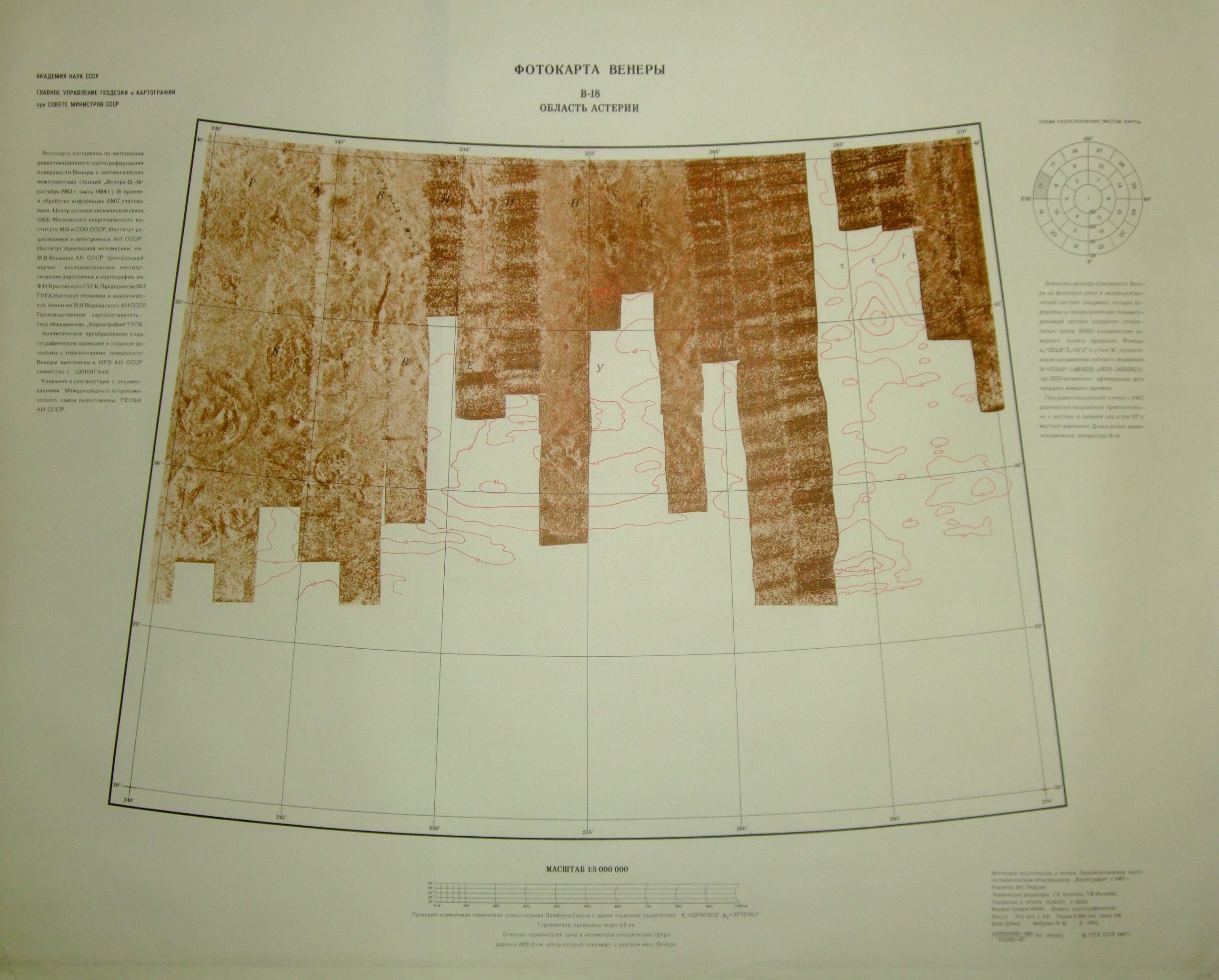
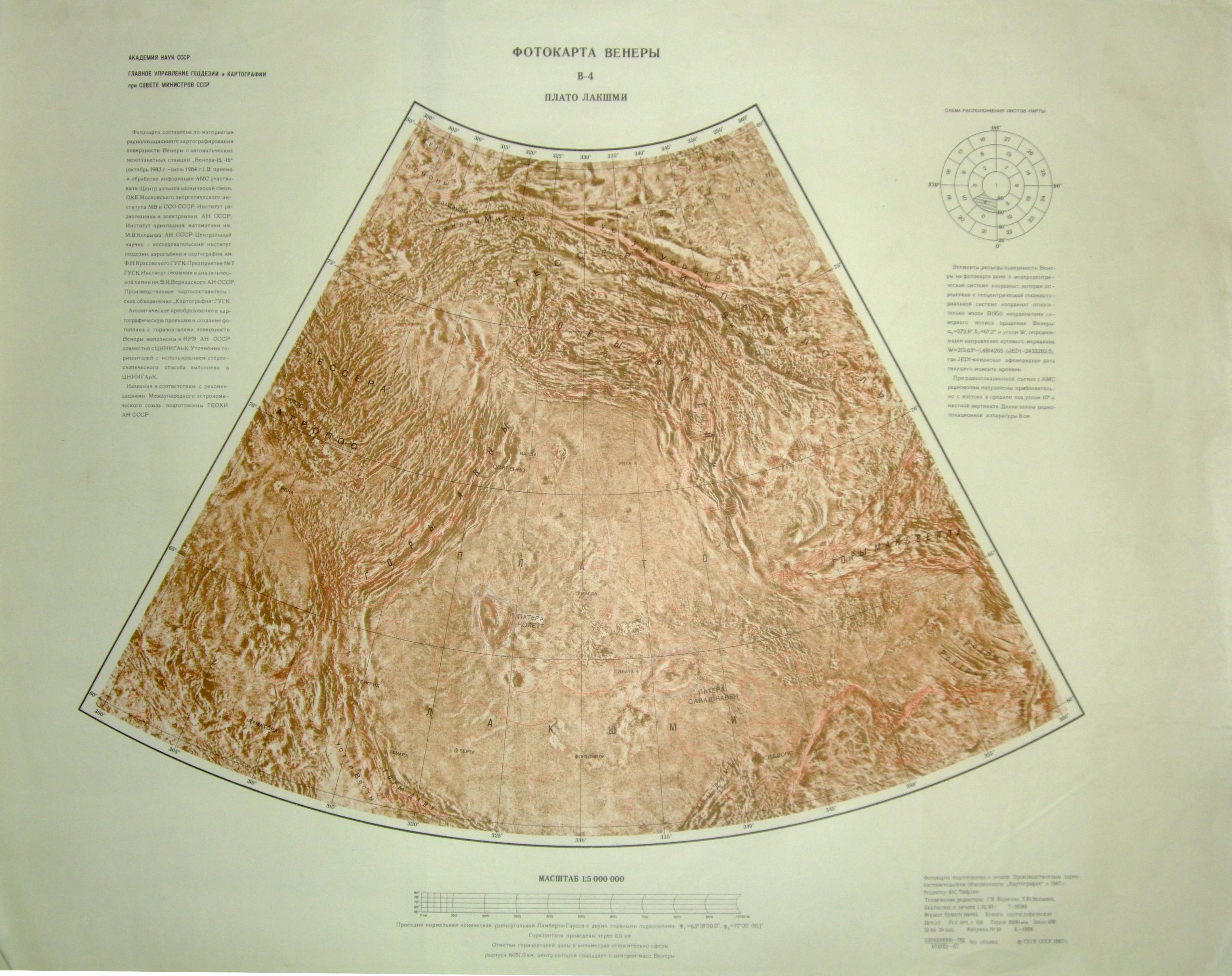
Венера
27 листов фотокарты Венеры, построенных по результатам радиолокационной съёмки с космических аппаратов „Венера-15“ и „Венера-16“
Масштаб фотокарты 1 : 5 000 000
English:
Venus
27 sheets of a photomap of Venus, compiled from radar survey data obtained by the spacecraft “Venera-15” and “Venera-16”
Photomap scale 1 : 5,000,000
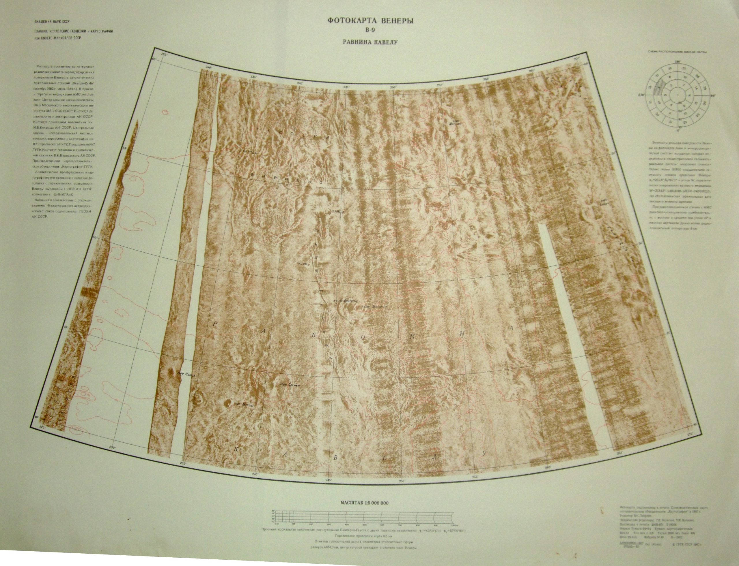
Академия наук СССР
Главное управление геодезии и картографии
при Совете Министров СССР
Фотокарта составлена по материалам радиолокационного картографирования поверхности Венеры с автоматических межпланетных станций „Венера-15, -16“ (октябрь 1983 г. — июль 1984 г.). В приёме и обработке информации АМС участвовали: Центр дальней космической связи, ОКБ Московского энергетического института МВ и ССО СССР, Институт радиотехники и электроники АН СССР, Институт прикладной математики им. М. В. Келдыша АН СССР, Центральный научно-исследовательский институт геодезии, аэросъёмки и картографии им. Ф. Н. Красовского ГУГК, Предприятие №7 ГУГК, Институт геохимии и аналитической химии им. В. И. Вернадского АН СССР.
Производственное картосоставительское объединение „Картография“ ГУГК. Аналитическое преобразование в картографическую проекцию и создание фотоплана с горизонталями поверхности Венеры выполнены в ИРЭ АН СССР совместно с ЦНИИГАиК.
Названия в соответствии с рекомендациями Международного астрономического союза подготовлены ГЕОХИ АН СССР.
Элементы рельефа поверхности Венеры на фотокарте даны в венероцентрической системе координат, которая определена в геоцентрической геоэкваториальной системе координат относительно эпохи В1950 координатами северного полюса вращения Венеры: α₀ = 272,8°, δ₀ = 67,2° и углом W, определяющим направление нулевого меридиана W = 213,63° − 1,4814205 (JED − 2433282,5), где JED — юлианская эфемеридная дата текущего момента времени.
При радиолокационной съёмке с АМС радиоволны направлены приблизительно с востока в среднем под углом 10° к местной вертикали. Длина волны радиолокационной аппаратуры 8 см.
English:
Academy of Sciences of the USSR
Main Administration of Geodesy and Cartography
under the Council of Ministers of the USSR
The photomap was compiled from radar mapping data of the surface of Venus obtained by the automatic interplanetary stations “Venera-15” and “Venera-16” (October 1983 – July 1984). Reception and processing of AMS data involved: the Deep Space Communications Center, the Design Bureau of the Moscow Power Engineering Institute, the Institute of Radio Engineering and Electronics of the USSR Academy of Sciences, the Keldysh Institute of Applied Mathematics, the Central Research Institute of Geodesy, Aerial Survey and Cartography named after F. N. Krasovsky, Enterprise No. 7 of GUGK, and the Vernadsky Institute of Geochemistry and Analytical Chemistry.
Cartographic production association “Kartografiya” (GUGK). Analytical transformation into cartographic projection and creation of the photoplan with contour lines of the Venus surface were carried out at the Institute of Radio Engineering and Electronics of the USSR Academy of Sciences jointly with TsNIIGAiK.
Names in accordance with the recommendations of the International Astronomical Union were prepared by the Institute of Geochemistry of the USSR Academy of Sciences.
Relief elements of the surface of Venus on the photomap are given in a Venus-centered coordinate system defined in a geocentric equatorial coordinate system relative to epoch B1950 with the coordinates of the north rotational pole of Venus: α₀ = 272.8°, δ₀ = 67.2°, and the angle W defining the direction of the prime meridian W = 213.63° − 1.4814205 (JED − 2433282.5), where JED is the Julian ephemeris date of the current moment.
During radar observations from AMS, radio waves were directed approximately from the east at an average angle of 10° to the local vertical. The radar wavelength was 8 cm.