300 inch map of the Moon 100 inch reduction
Scale 1: 1 368 000
Moon — map
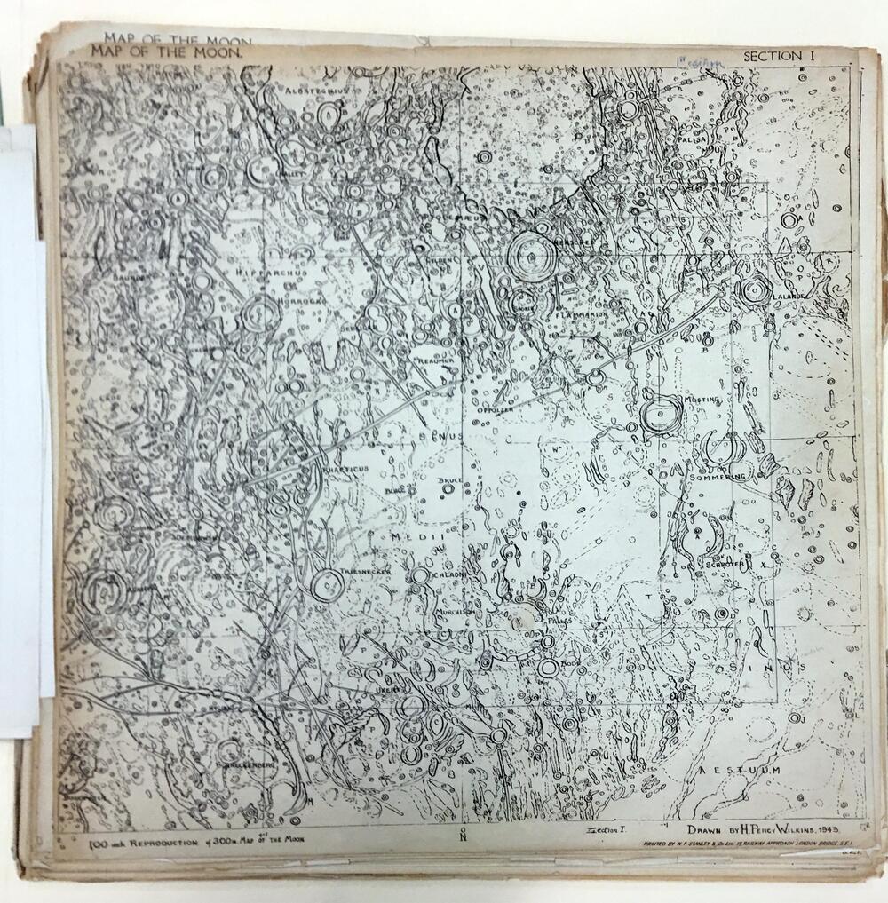
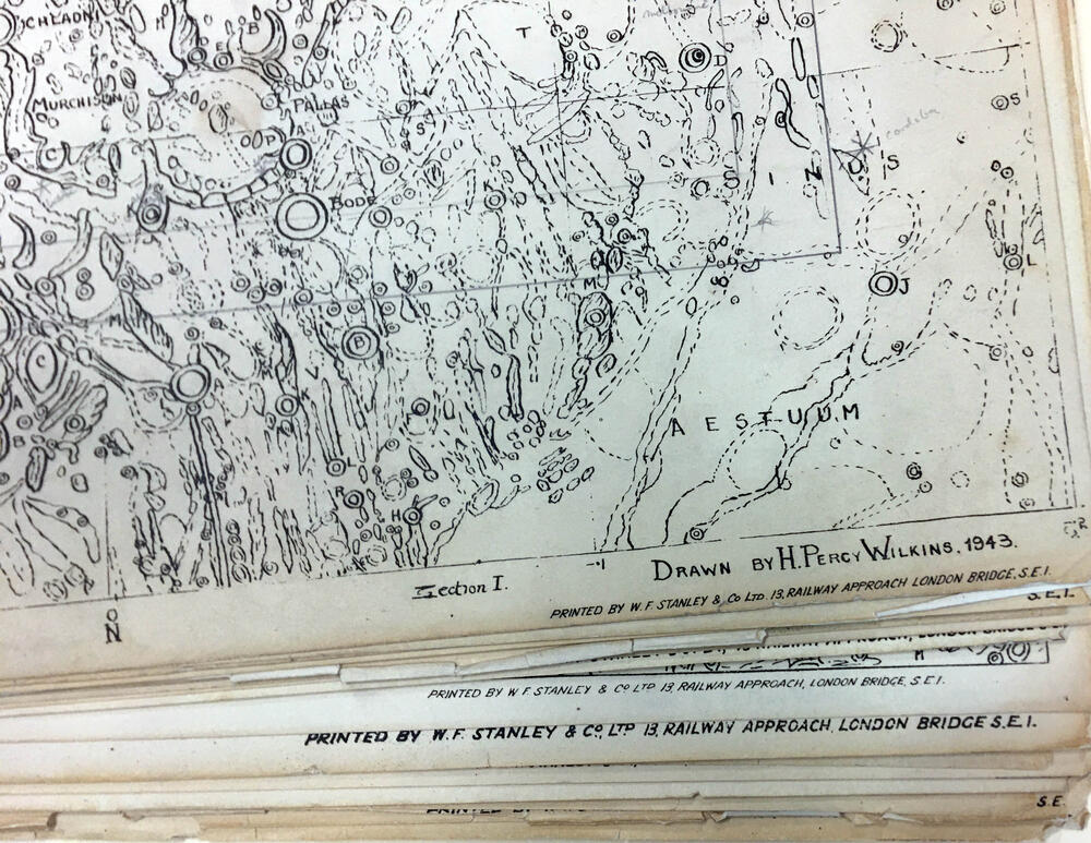
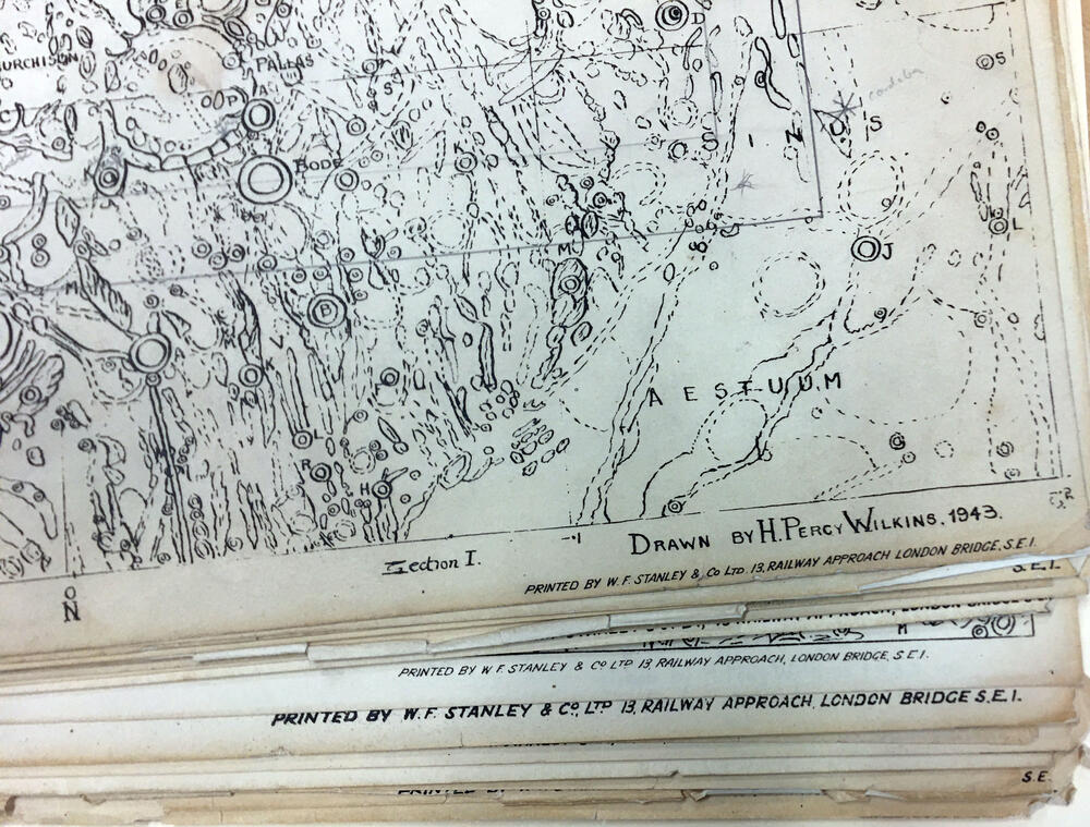
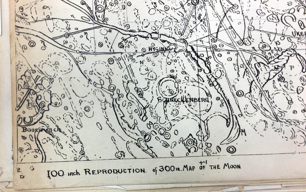
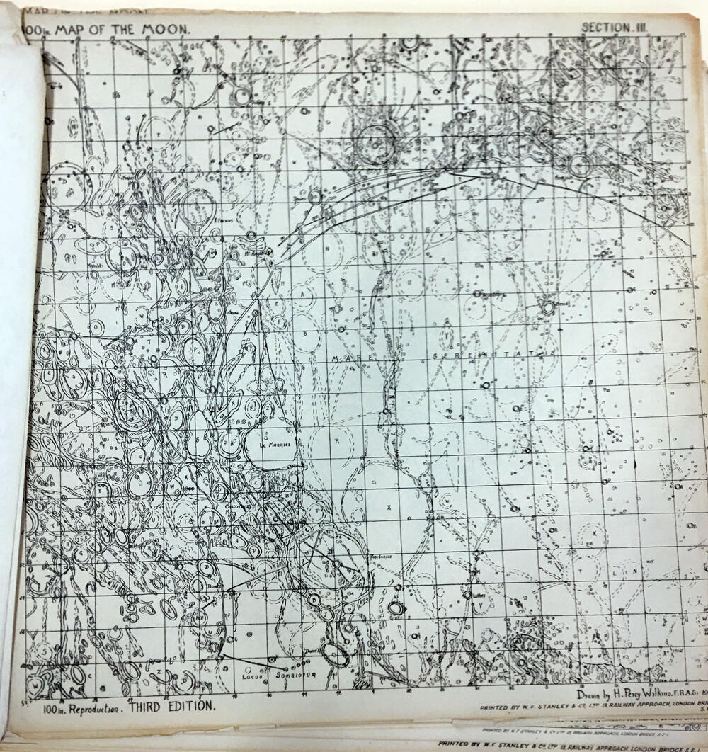
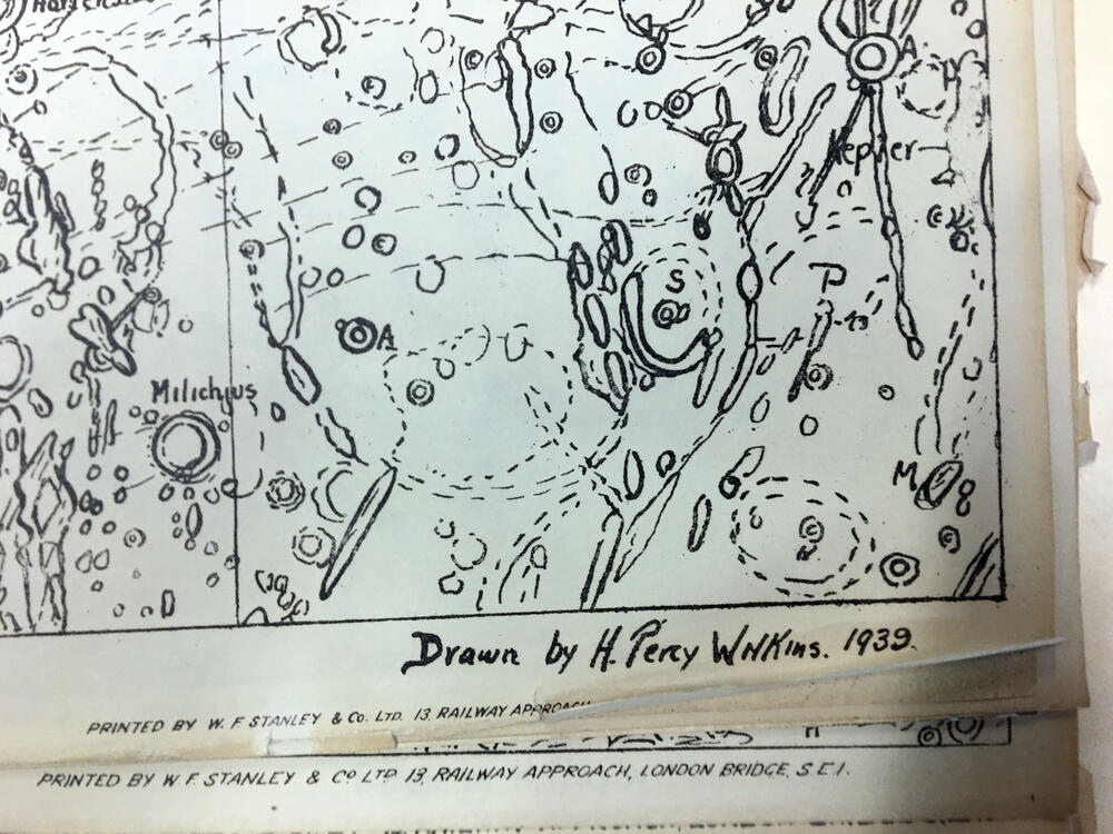
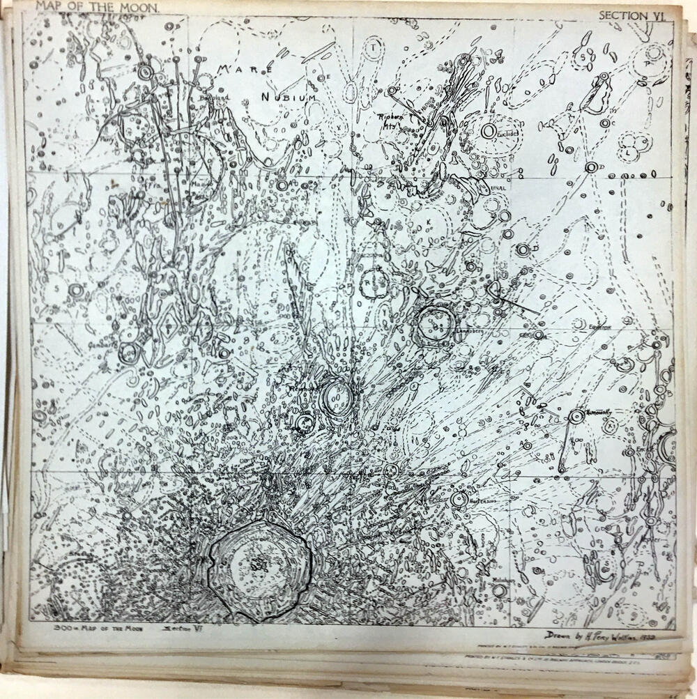
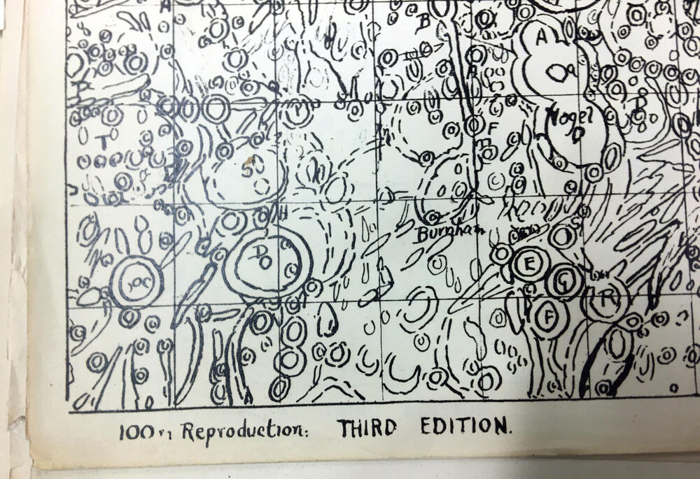
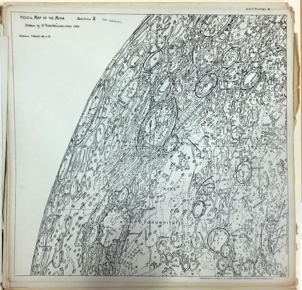
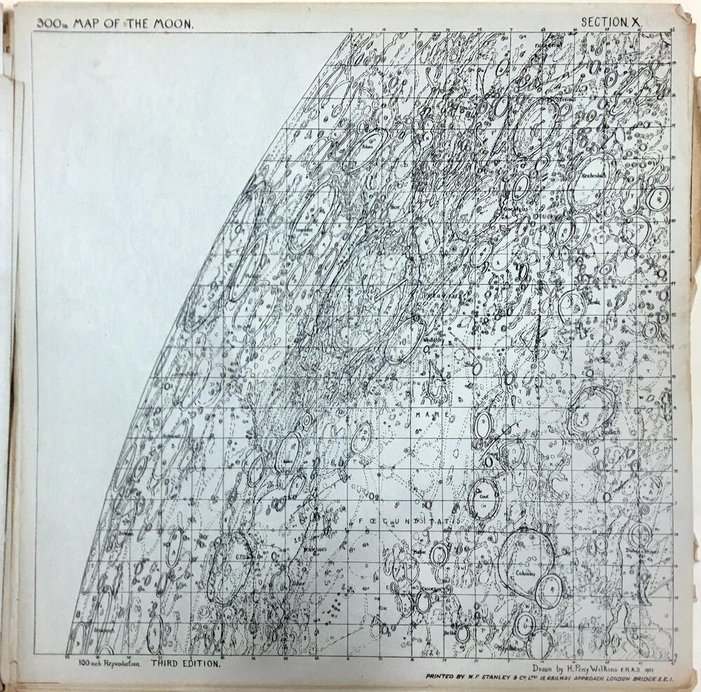
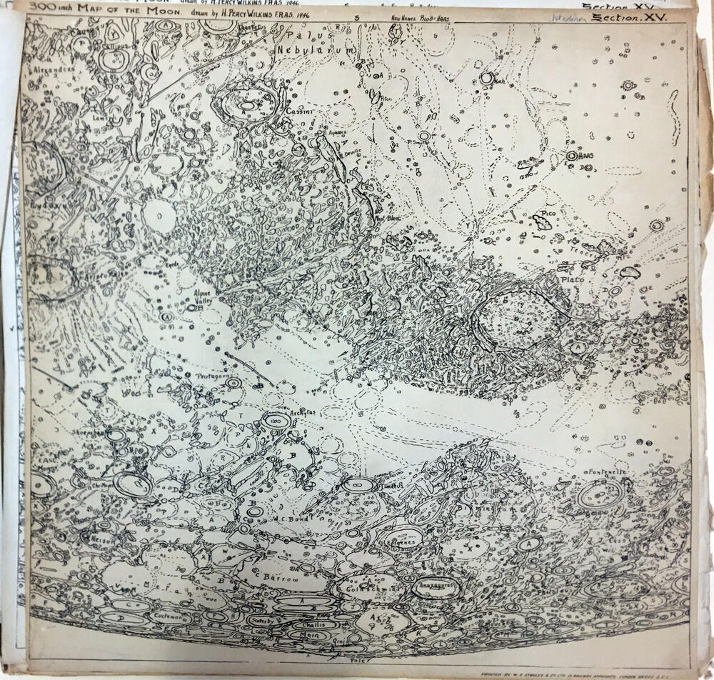
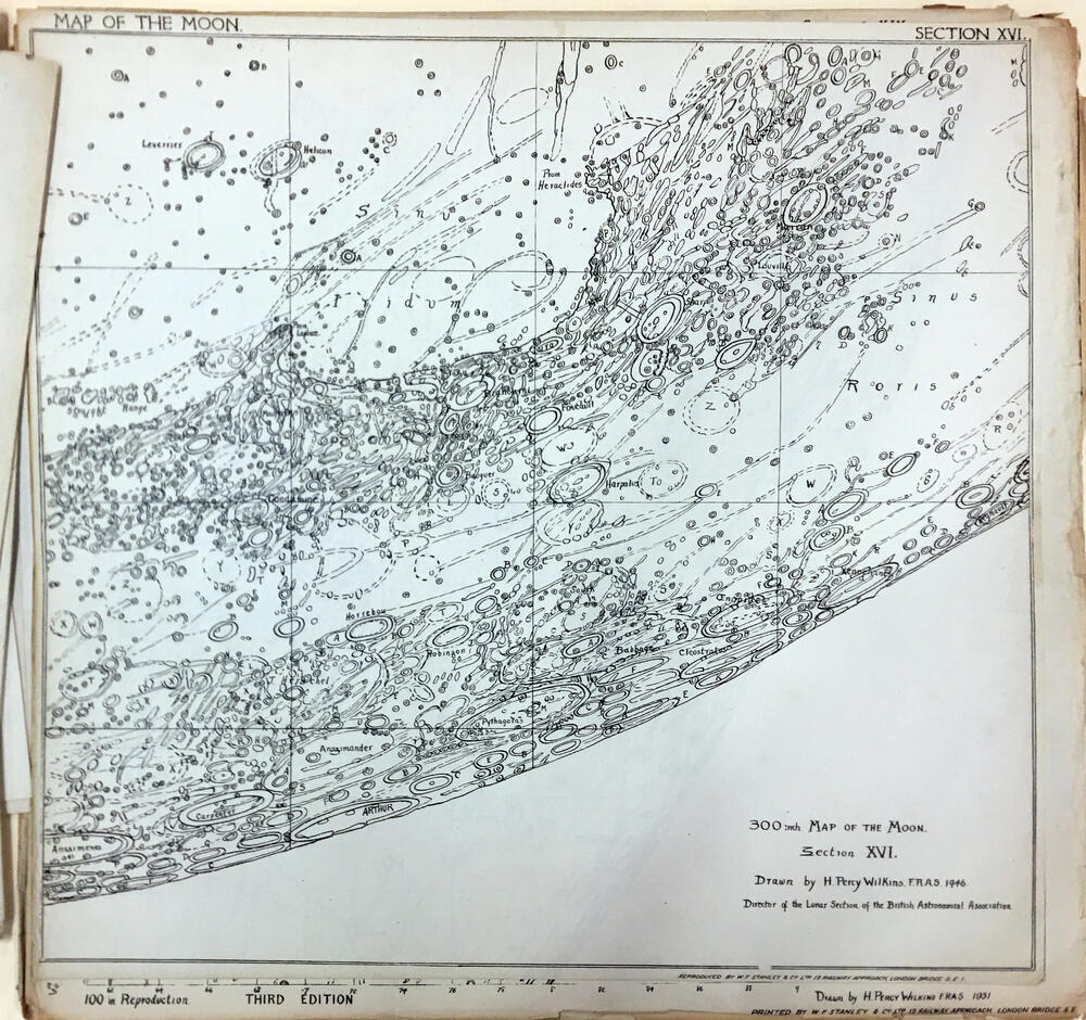
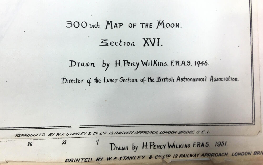
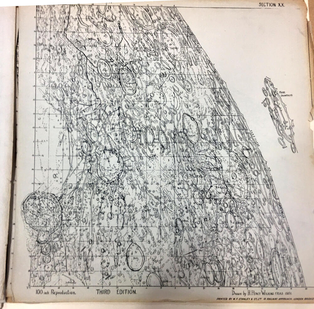
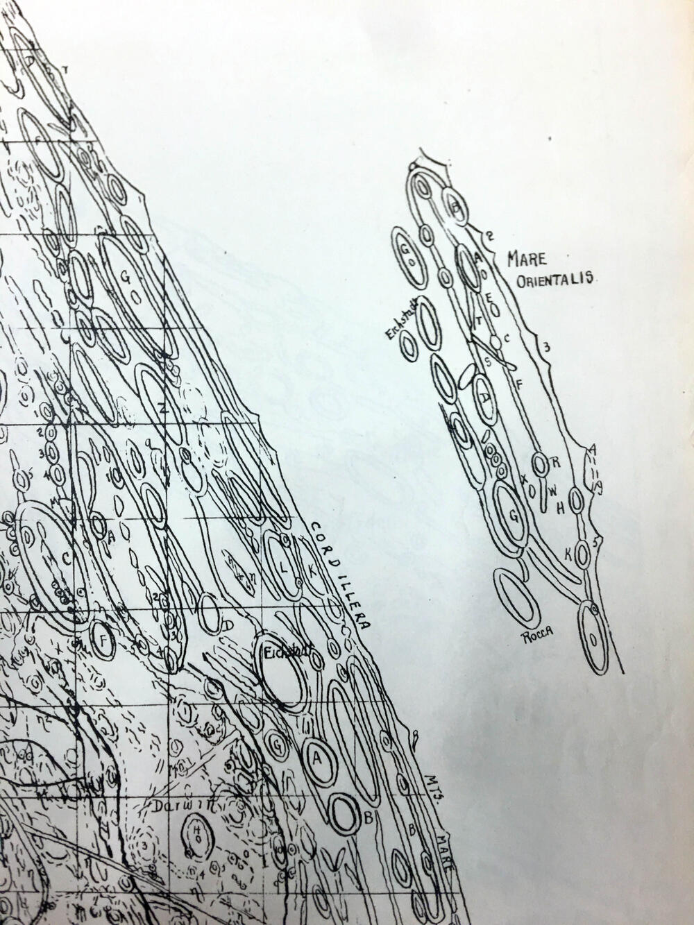
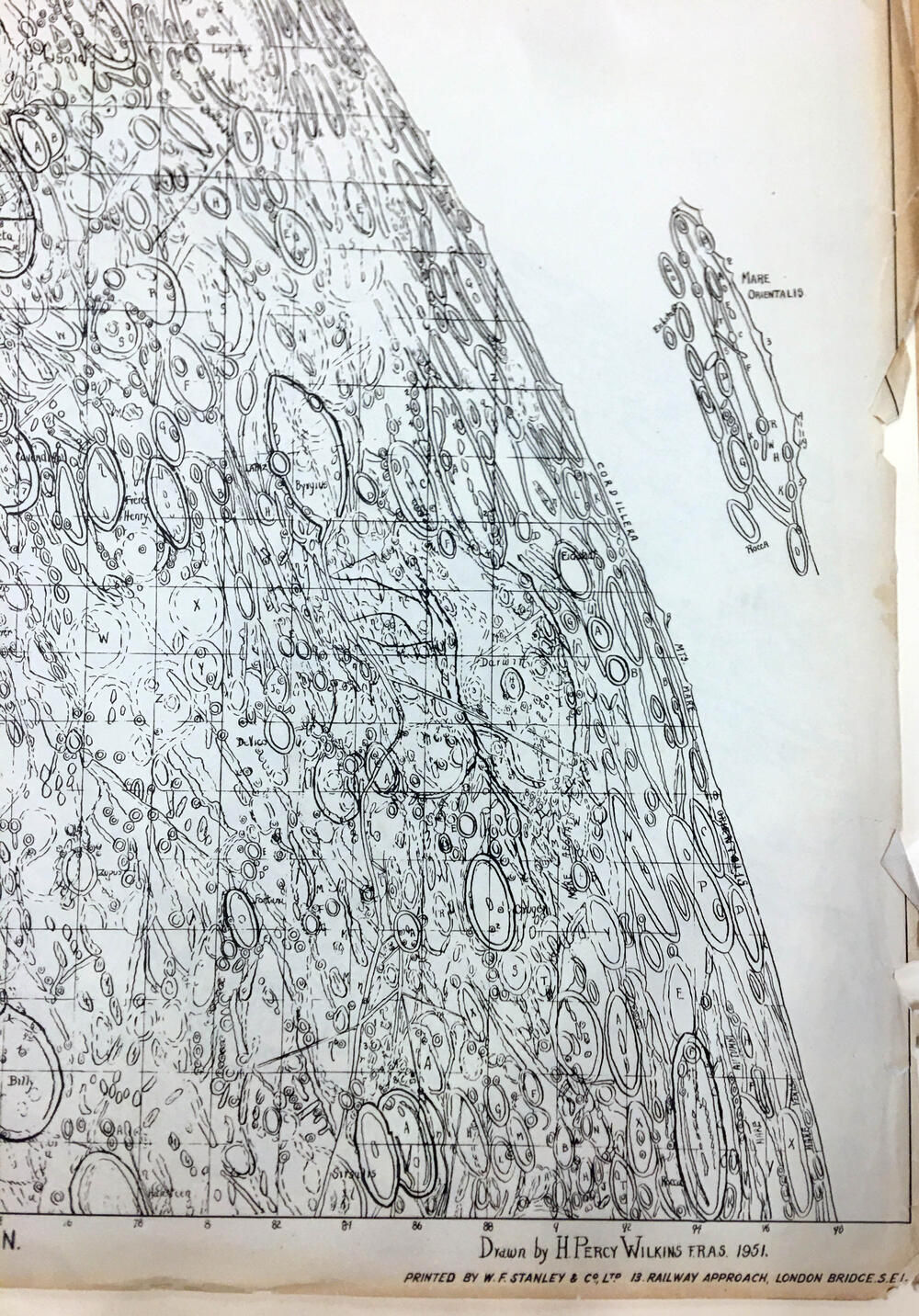
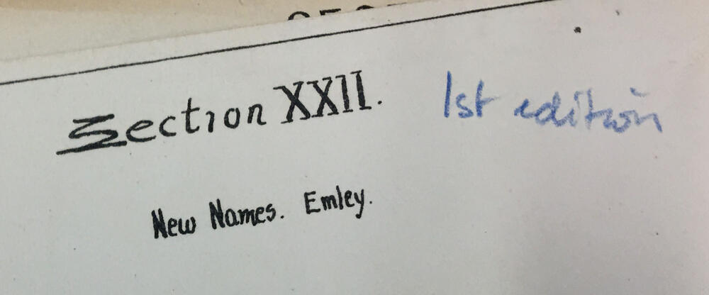
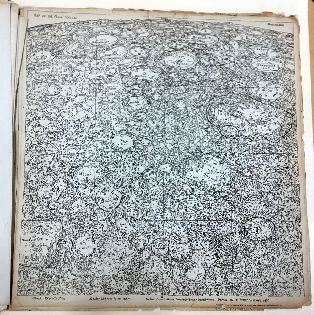
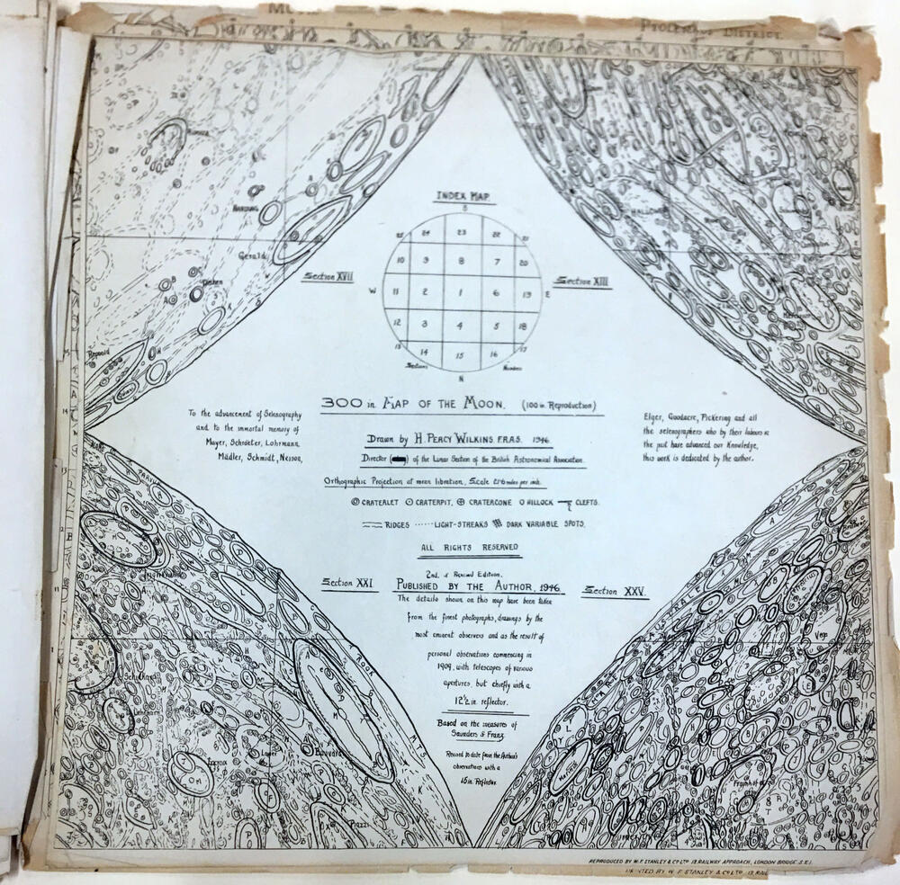
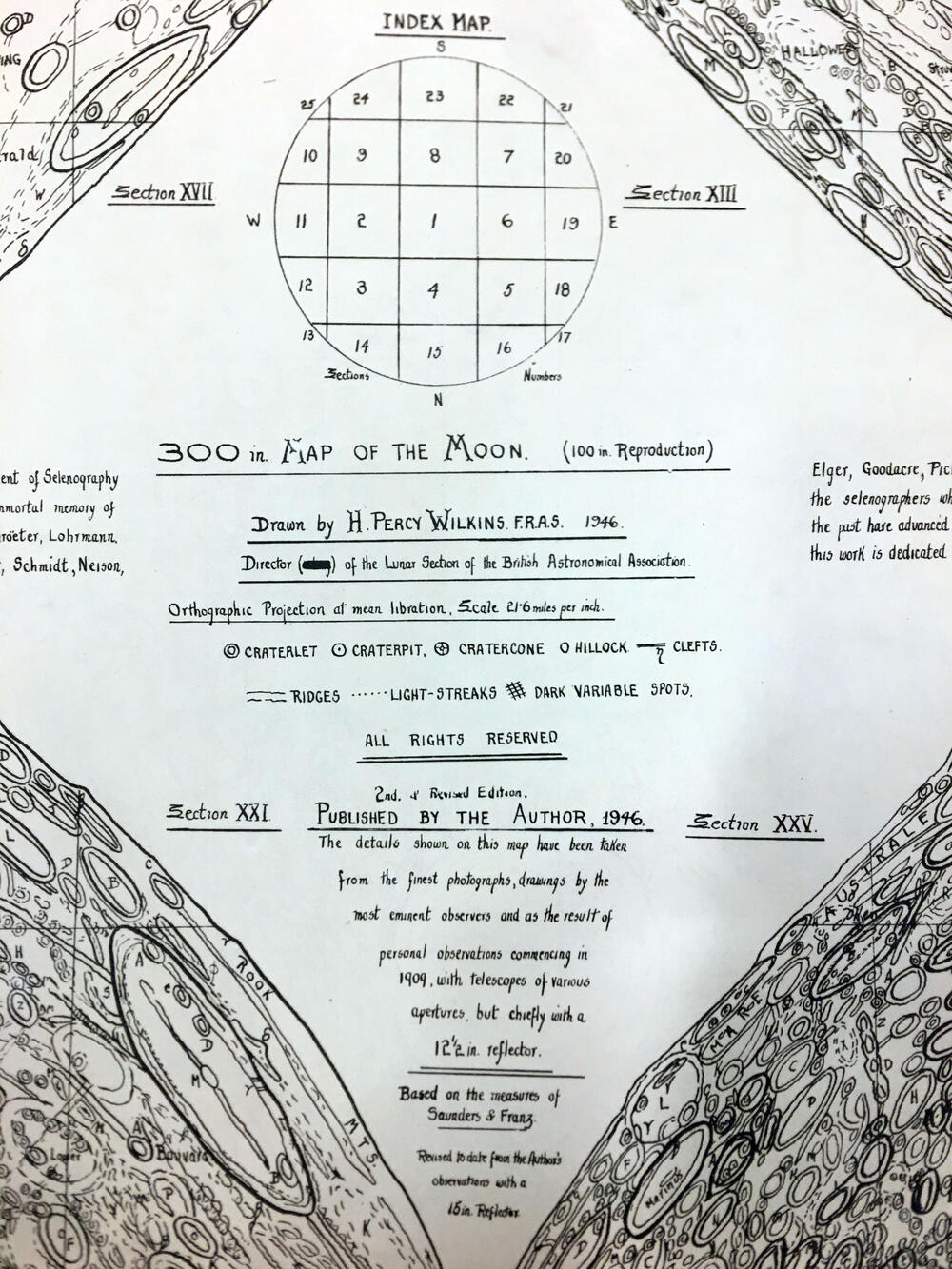
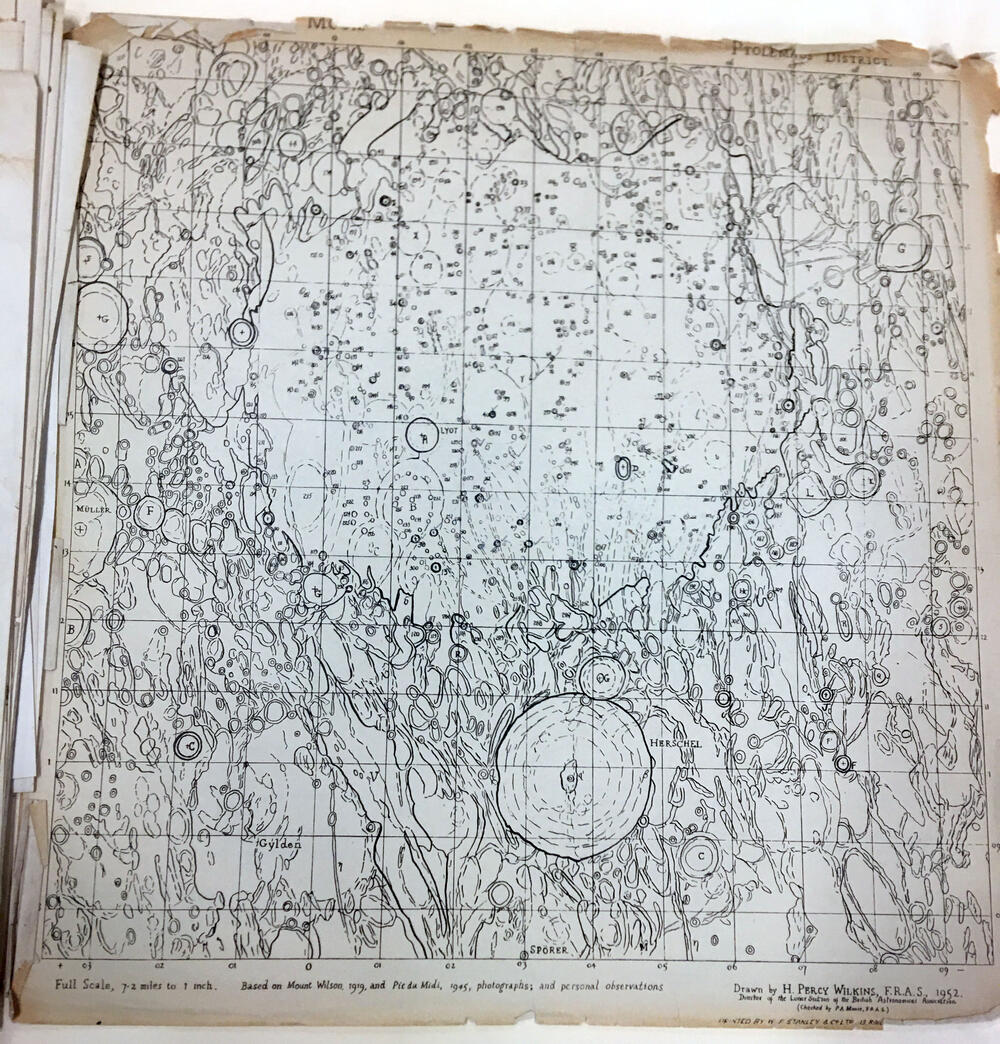
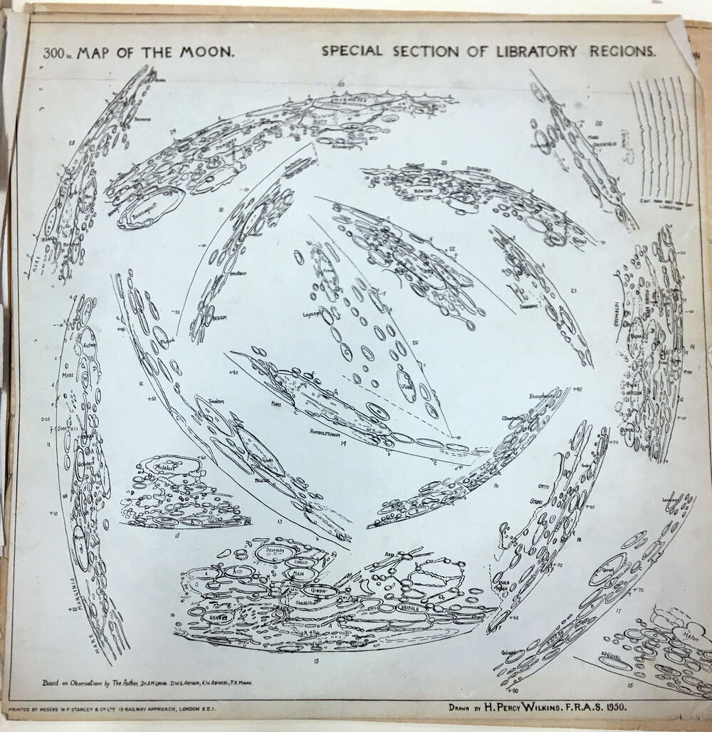
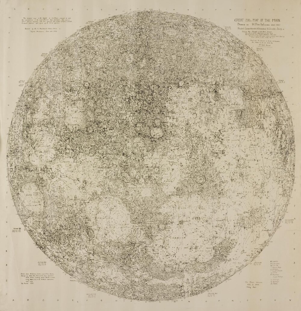
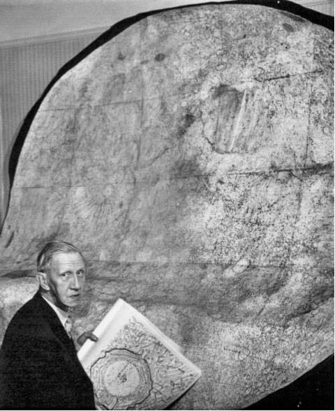
Photo: LPOD Sep15 2008.
Cartographer: H Percy Wilkins, "the last traditional selenographer"
Editions: Early edition with hand lettering, later editions with sans serif and grid.
South-up orientation. Orthographic projection.
300 inch map of the Moon First edition, 1946. Third edition, 1951, revisions in 1952, 1954.
25 map sheets, Scale 21.6 miles per inch.
Compiled from personal observations starting in 1909.

300-inch edition including polar and far side views. This image is compiled by H. Hargitai from the Strolling Astronomer publication (100 inch reduction).
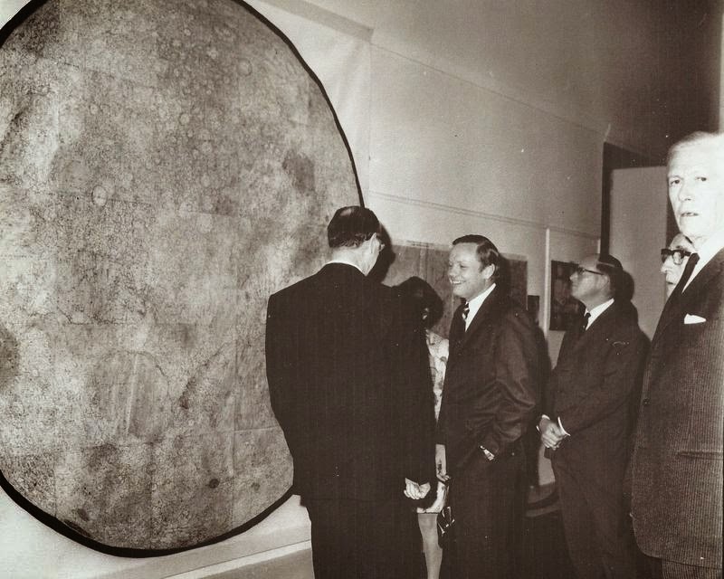
The 300-inch edition with north-up orientation. Neil Armstrong and Dr H P Wilkins at the Royal Geographical Society, London. (source)
A full copy of the map (300 inch map at 100 inch scale 1951) is kept at LPL Whitaker papers (dedicated to E. Whitaker) MS662, Box 47, Folder 8).
Map of the Moon.
Selected lunar charts by Dr. H. P. Wilkins. President of the International Lunar Society.
Folio 1. Nos. 1-14.
100 inch reproduction of 300 in. Map of the Moon Section I. Drawn by H. Percy Wilkins. 1943. Printed by W. F. Stanley & Co. Ltd. (Railway Approach London Bridge S.E.1)
Introduction
The following lunar charts are on a scale of 300 inches to the Moon’s diameter. Detailed descriptions of the formations reproduced here are to be found in “The Moon” by Dr. H. P. Wilkins and Patrick Moore, — Faber & Faber. Publishers.
These charts have been copied from the original complete Moon map of Dr. H. P. Wilkins (1946), with corrections to bring it up to date.
The decision to publish charts of selected lunar formations on this scale was made for use at the telescope and to enable the observer to have the most convenient size maps on which to locate, identify or plot fine detail in lunar formations considered by leading selenologists to be of importance.
Comments will be welcomed as it is planned that further folios will be published.
This folio is published under the auspices of the International Lunar Society and by the generosity of Dr. James Q. Gant. M.D. of Washington. D.C. U.S.A.