Catalog of Planetary Maps
#373

Wilkins, Hugh Percy

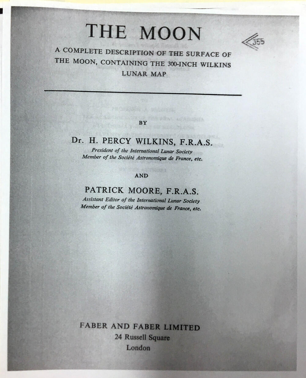
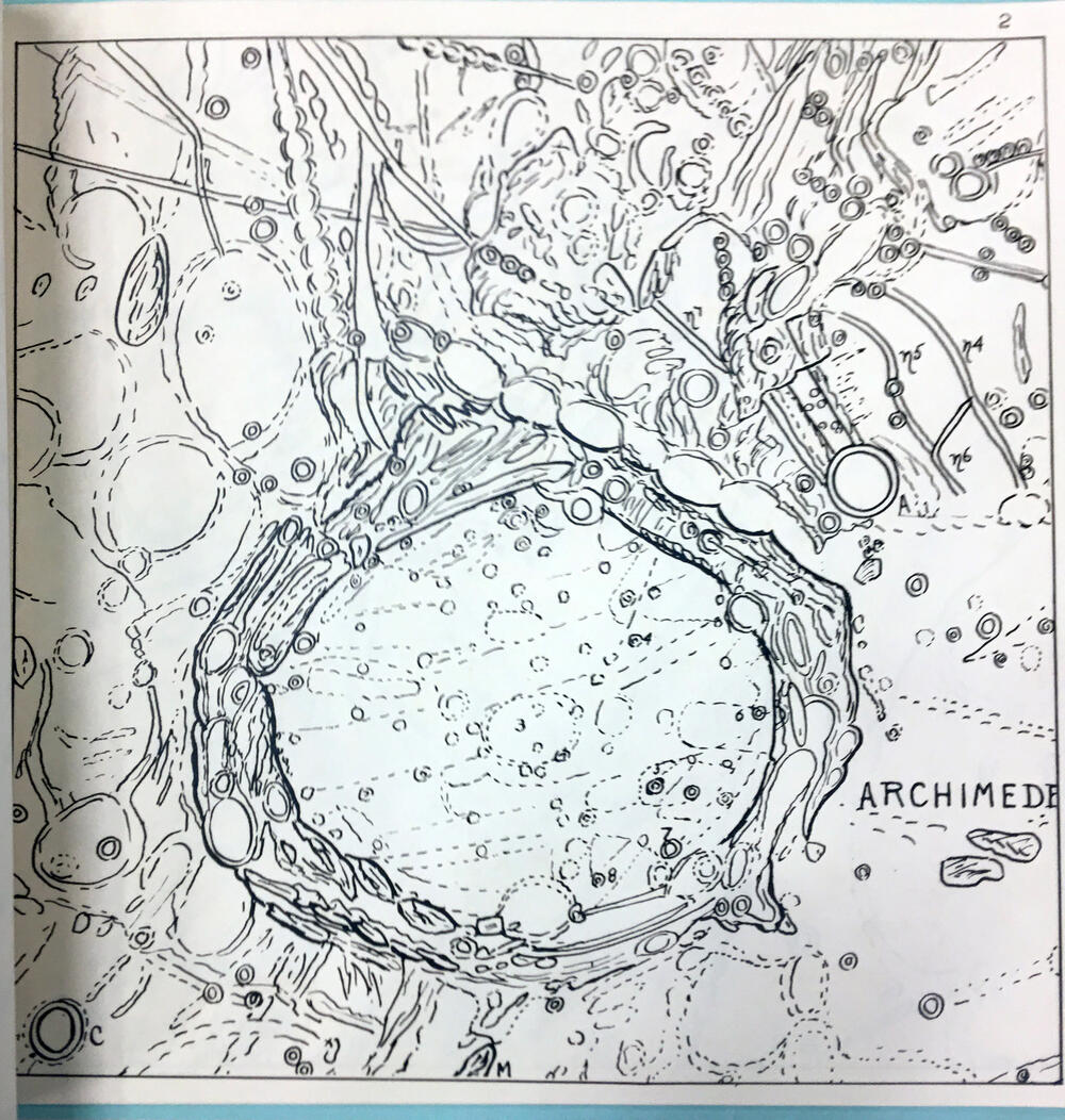
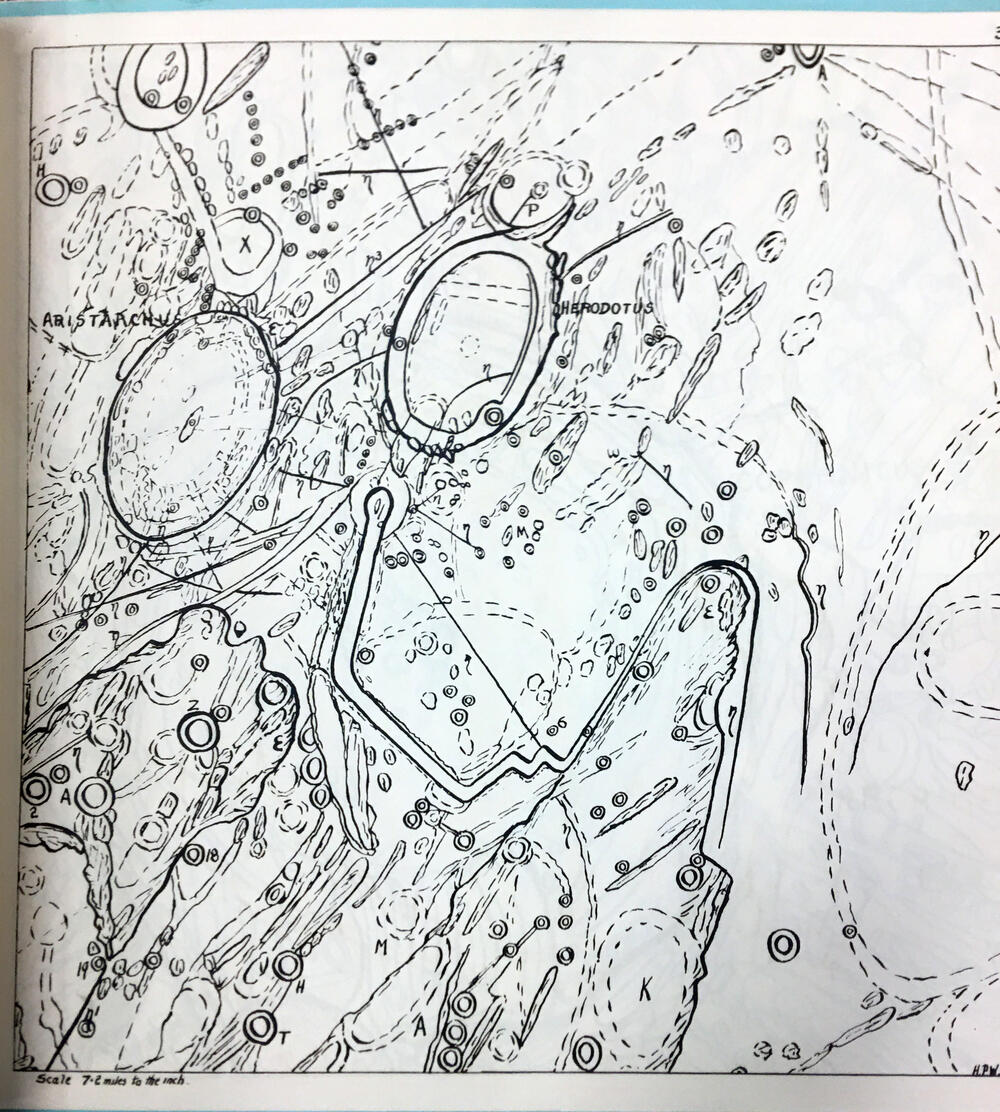
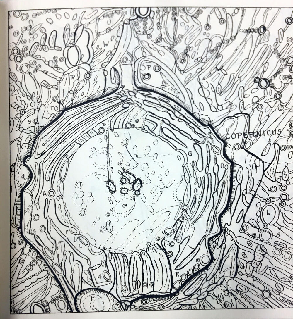
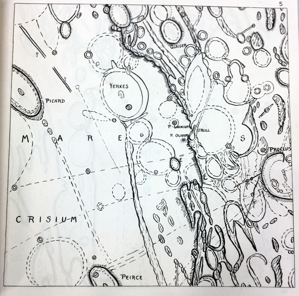
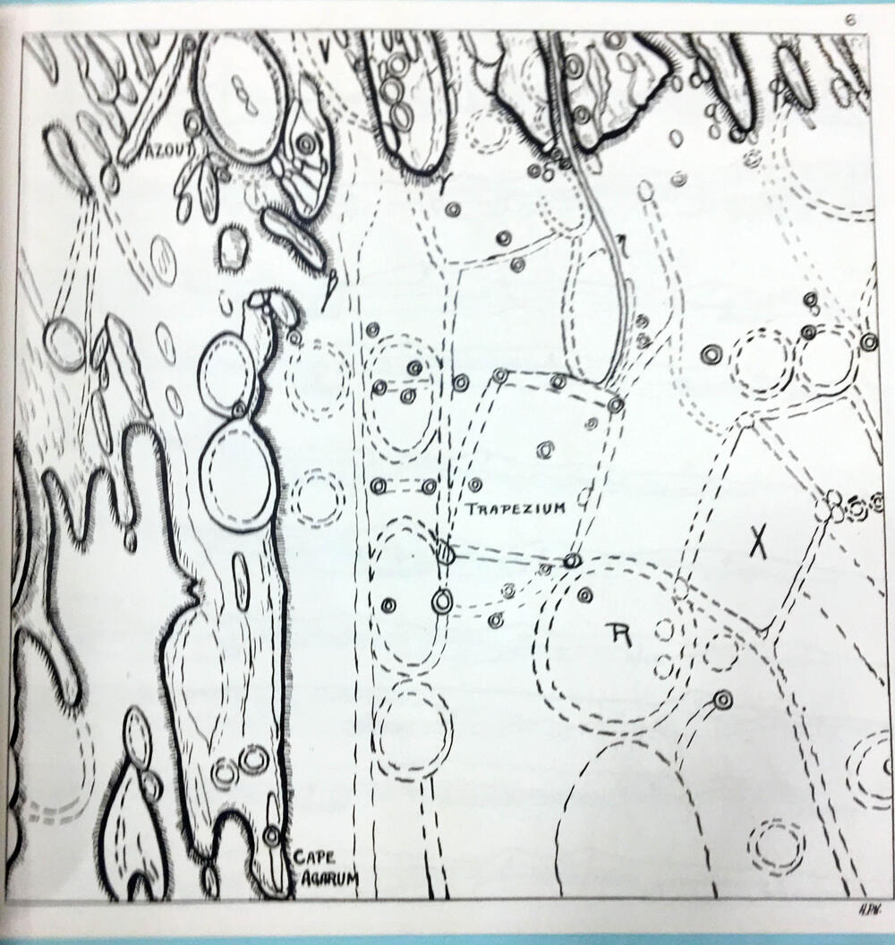
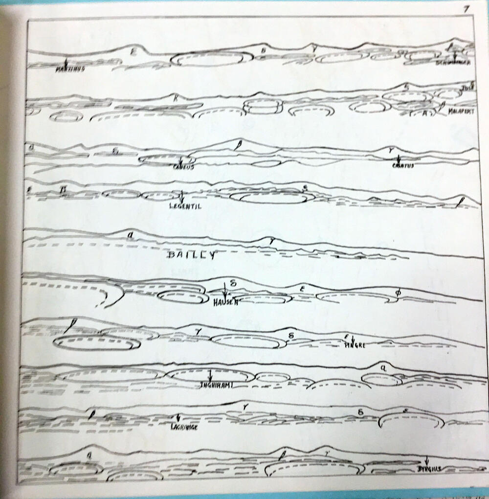
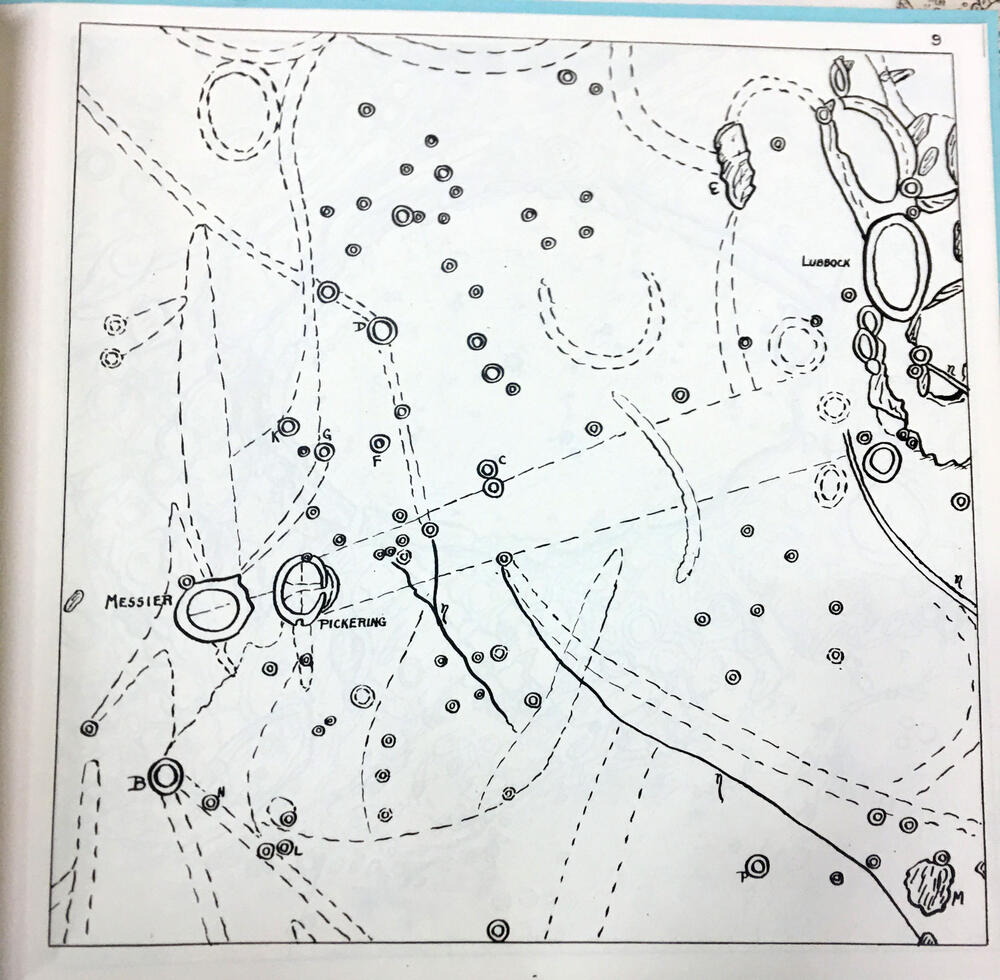
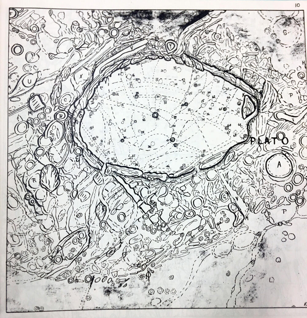
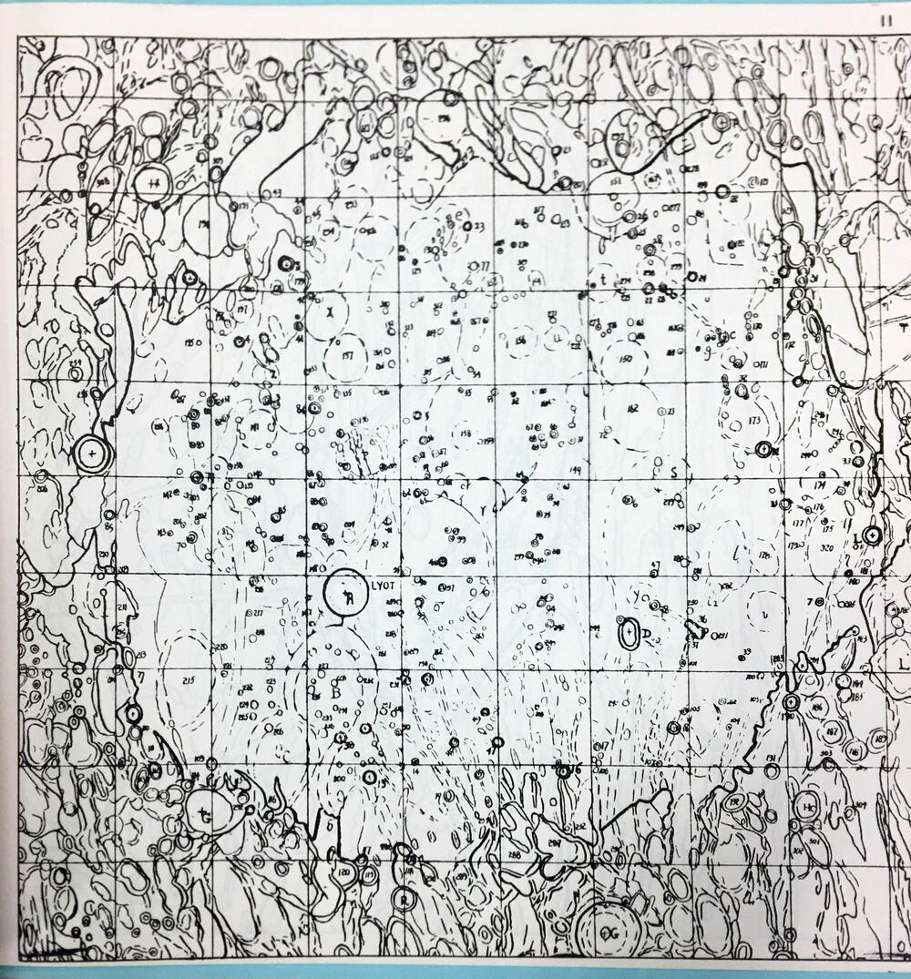
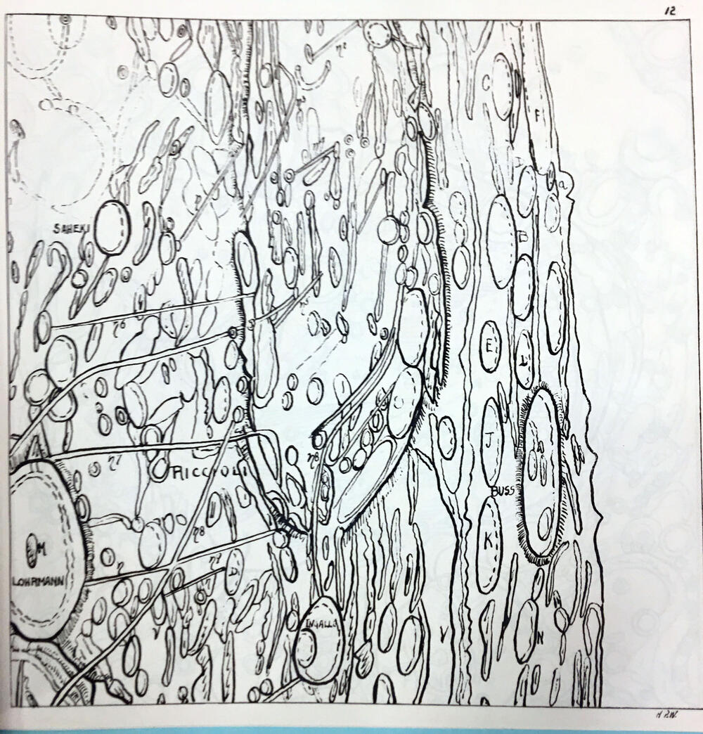
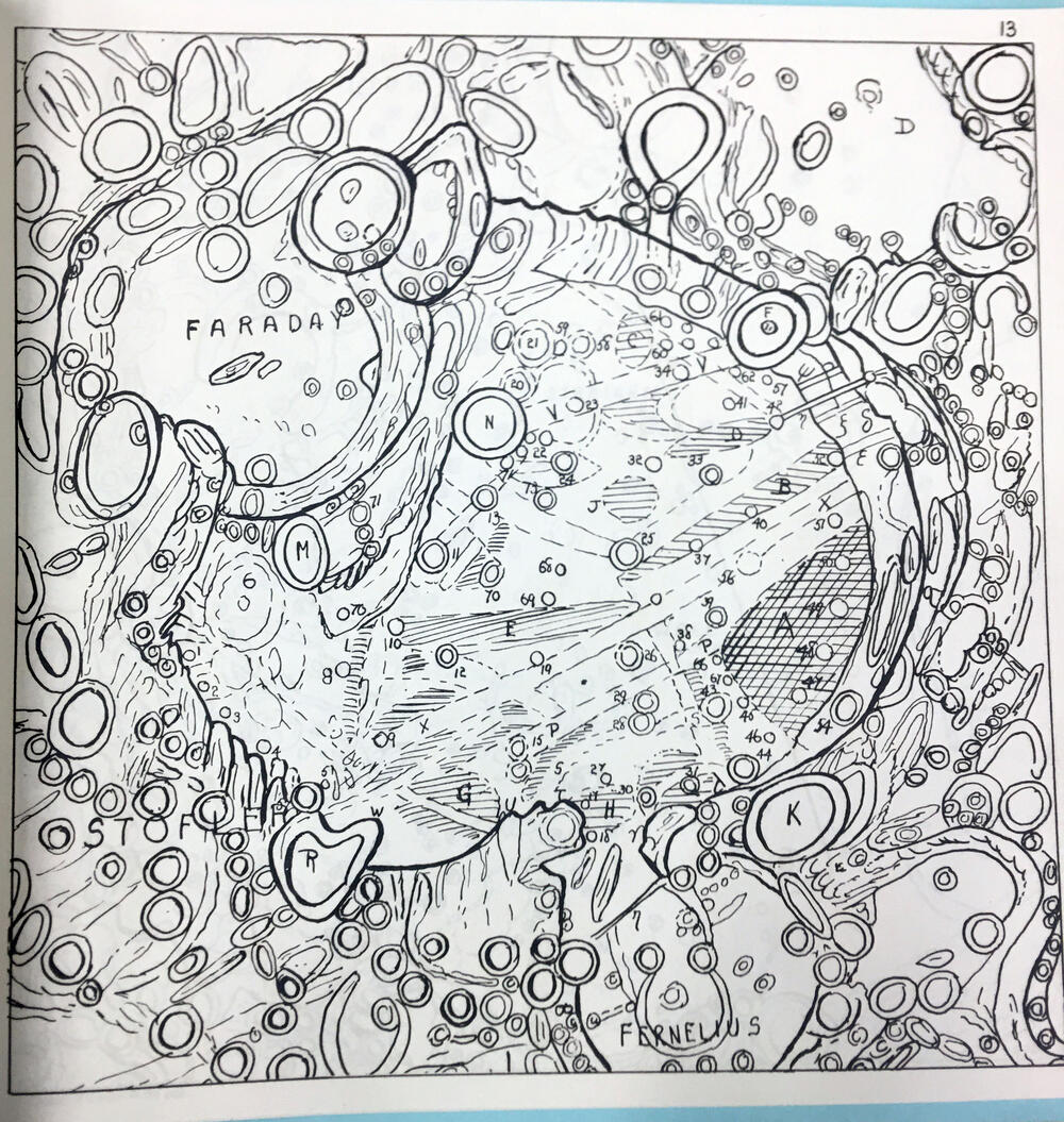
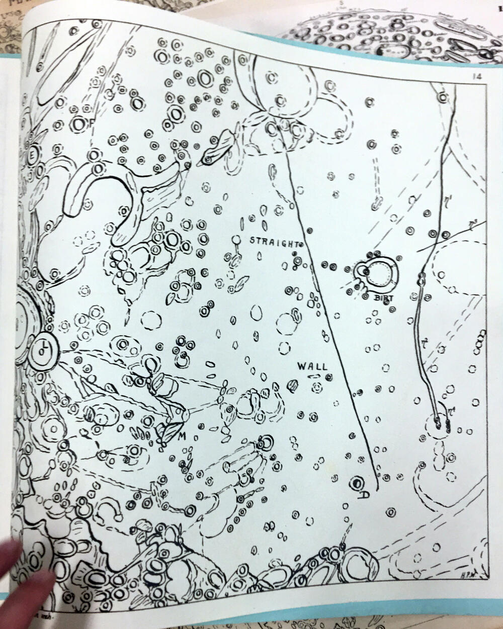
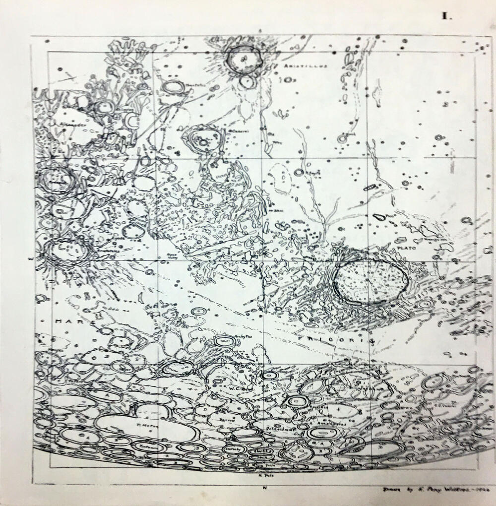
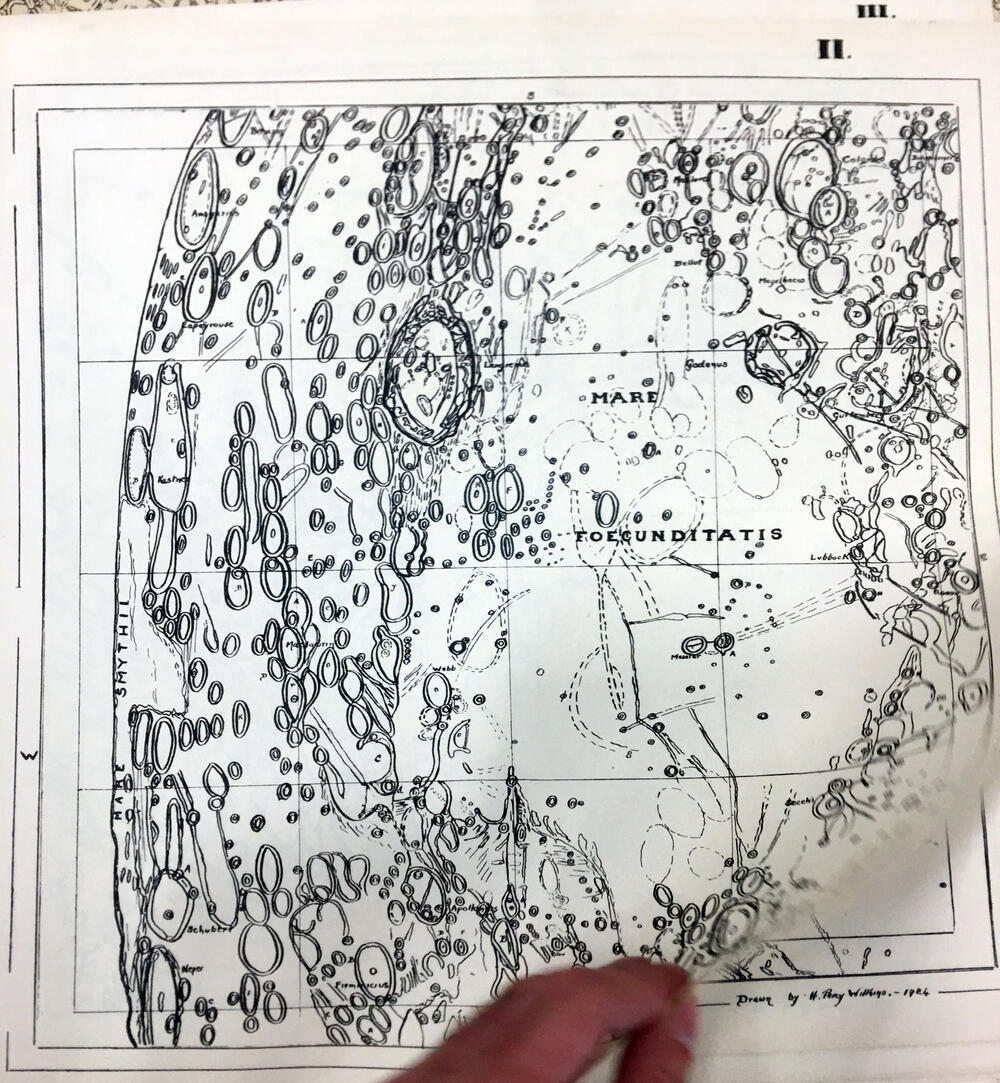
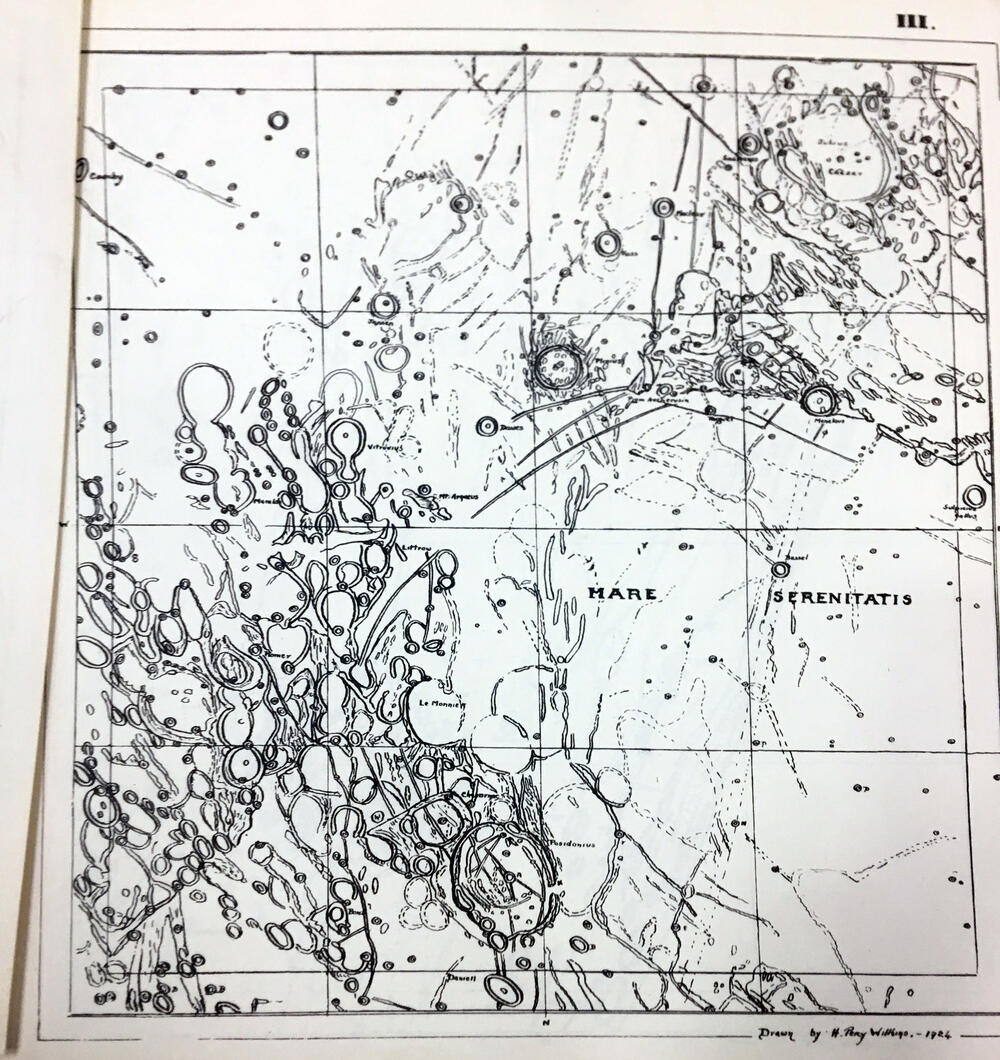
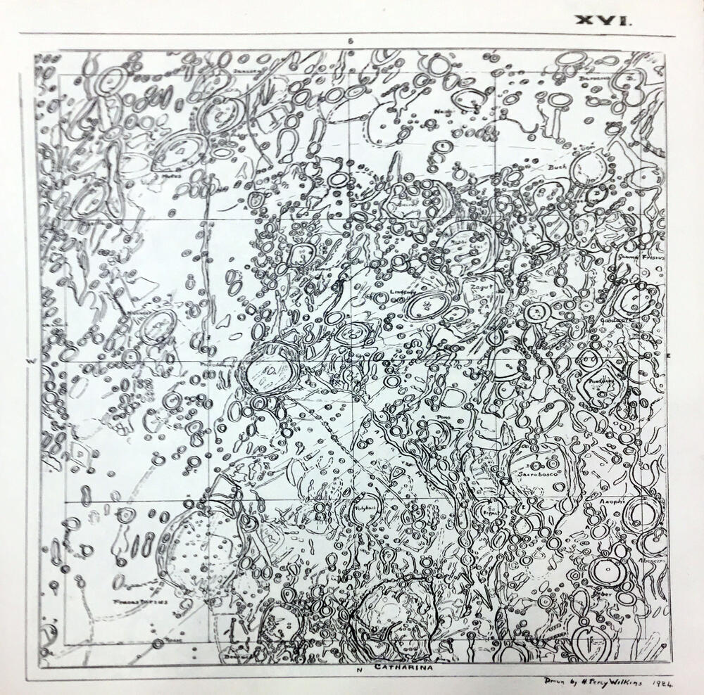
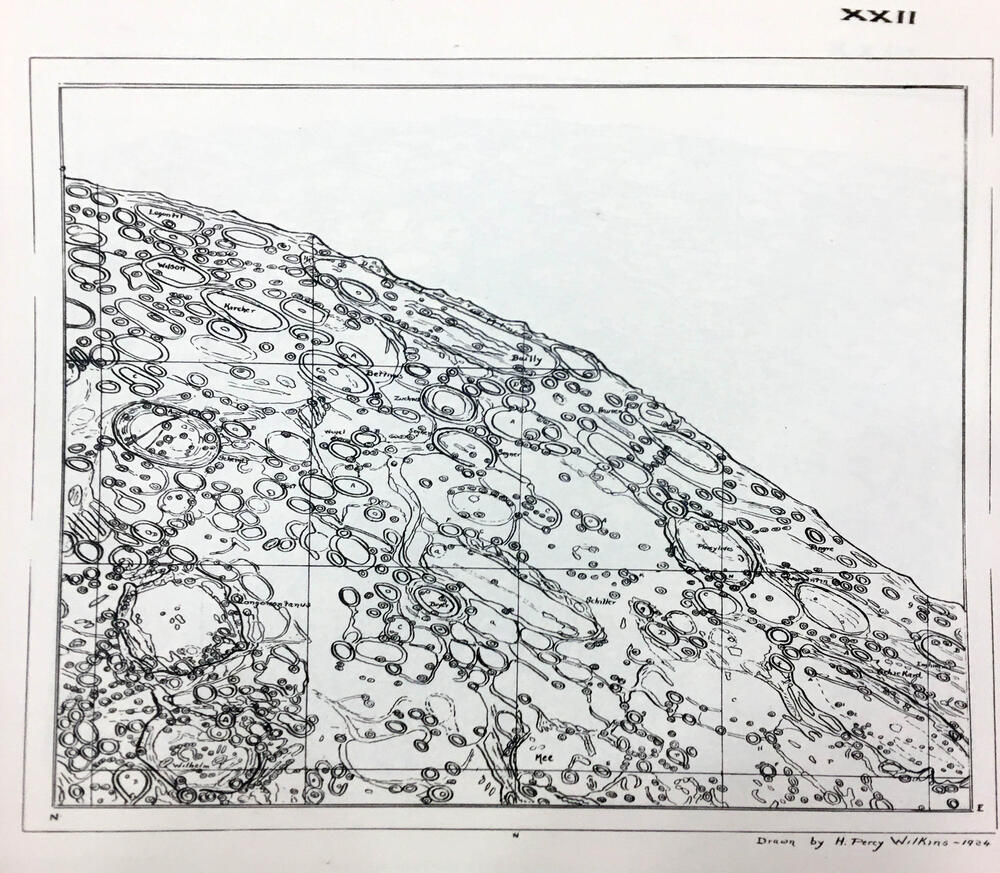
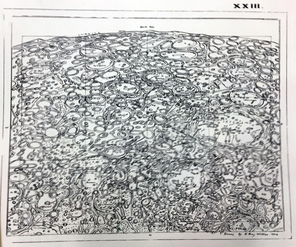
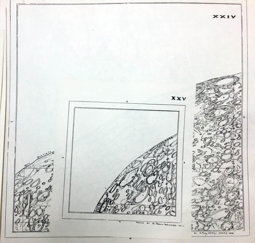
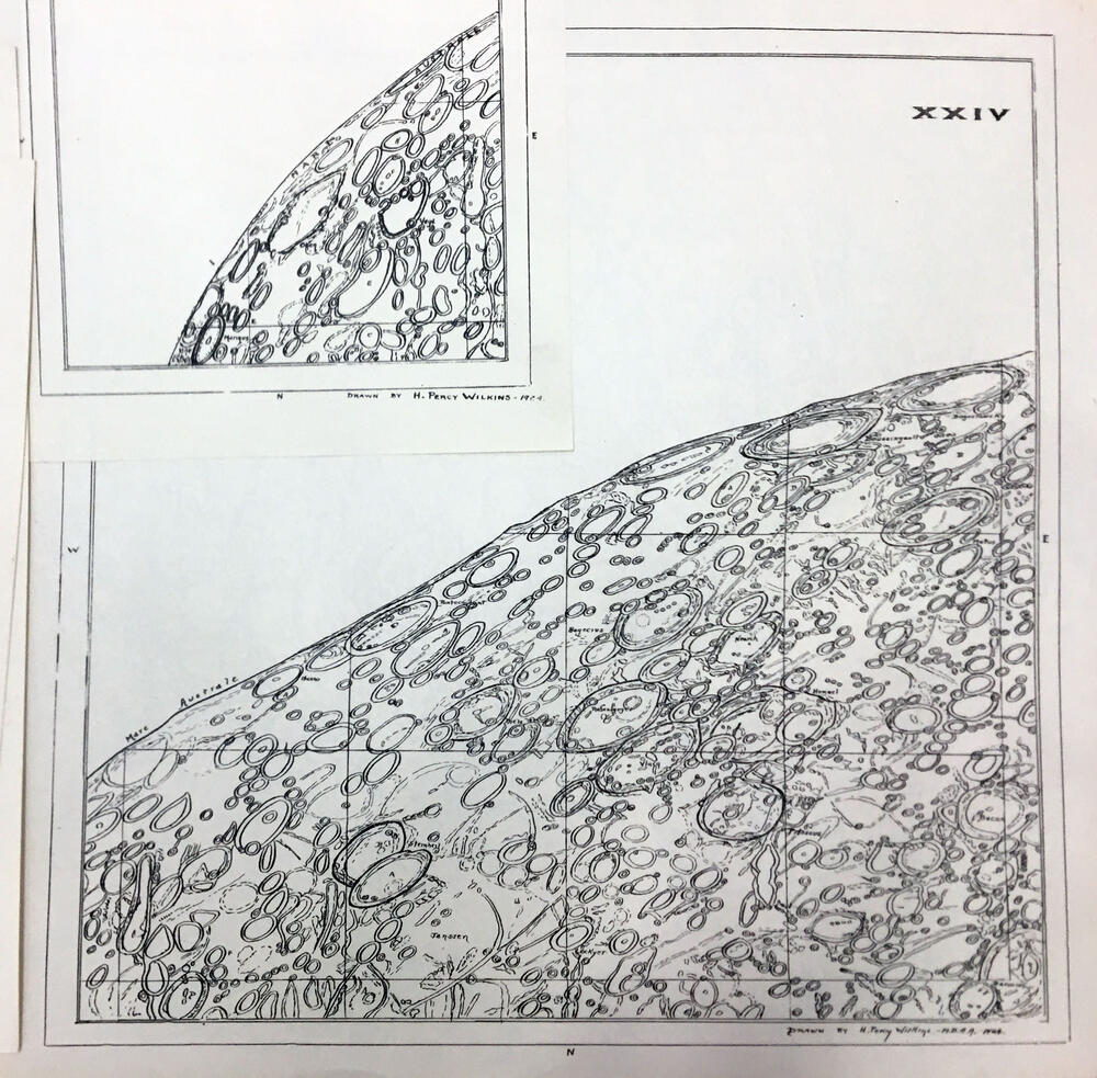
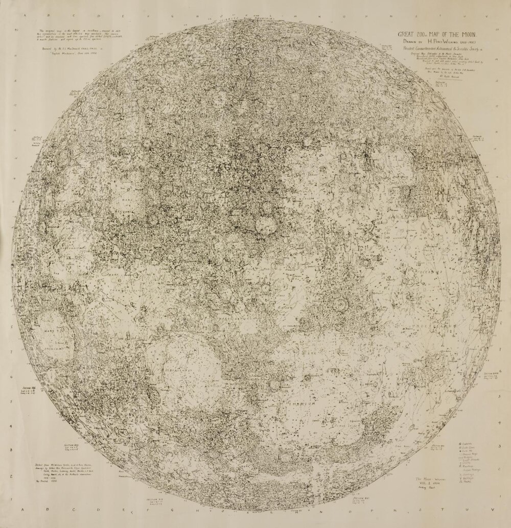
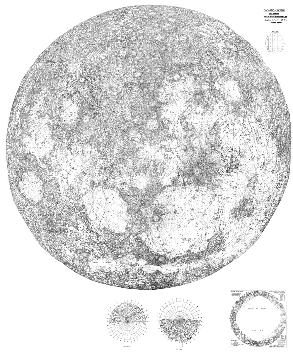
300 inch map of the Moon

Scale 1: 456 000

Moonmap

1946 · International Lunar Society

300 inch map of the Moon

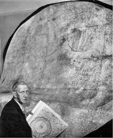
wilkins.jpg

Photo: LPOD Sep15 2008.

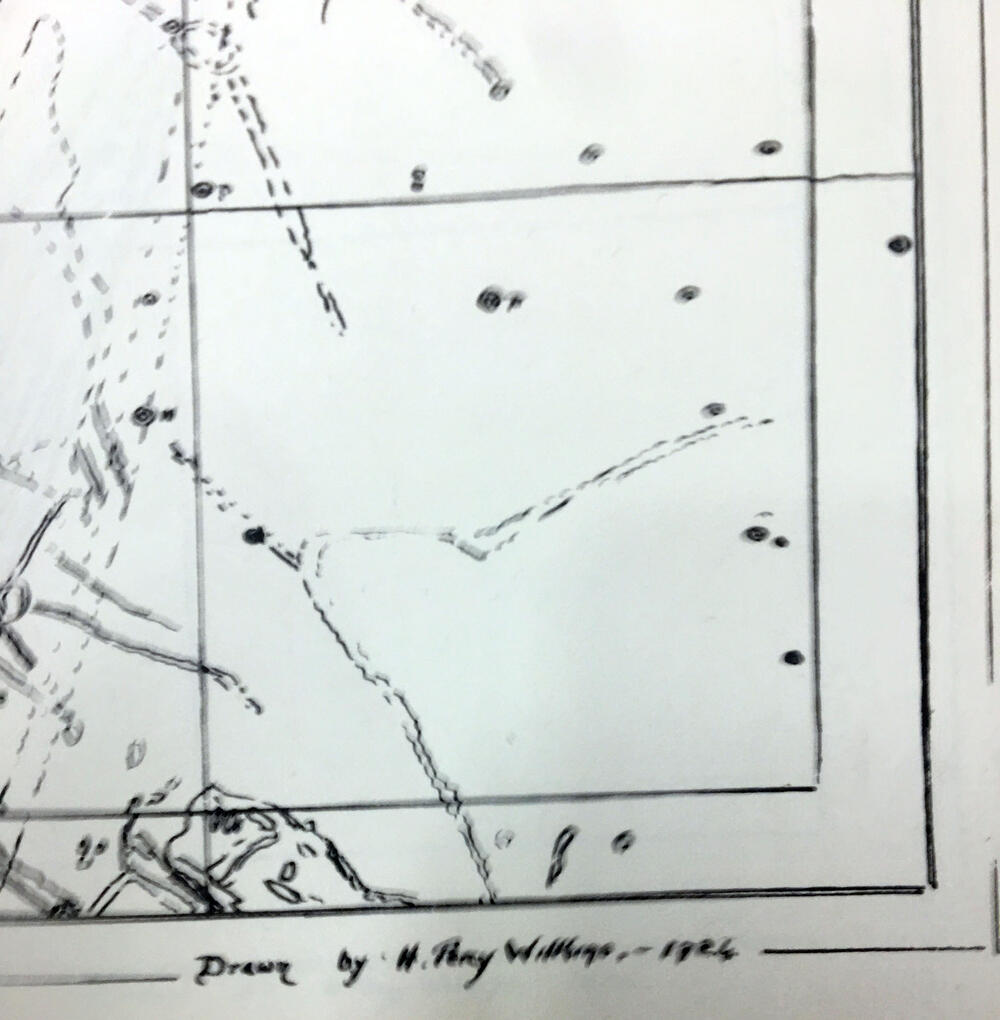
Cartographer: H Percy Wilkins, "the last traditional selenographer"

Editions: Early edition with hand lettering, later editions with sans serif and grid.

South-up orientation. Orthographic projection.

300 inch map of the Moon First edition, 1946.  Third edition, 1951, revisions in 1952, 1954.

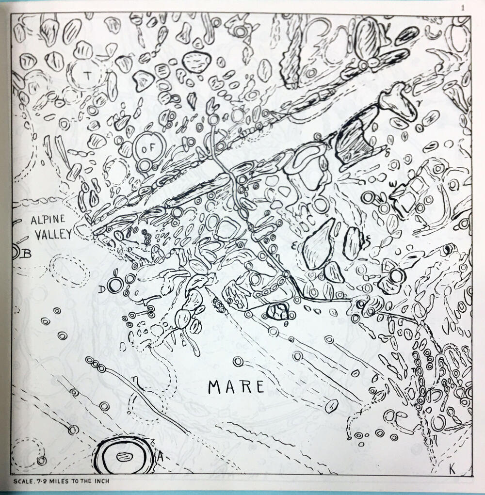
25 map sheets, Scale 21.6 miles per inch.

Compiled from personal observations starting in 1909.
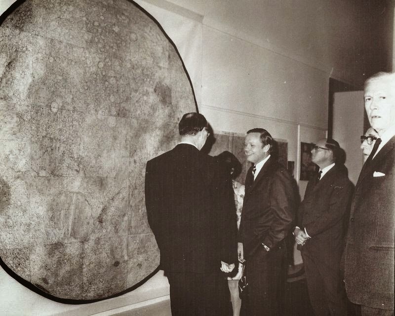
CMHASDWilkins&TheMoonMap.jpg

The 300-inch edition with north-up orientation. Neil Armstrong and Dr H P Wilkins  at the Royal Geographical Society, London. (source)

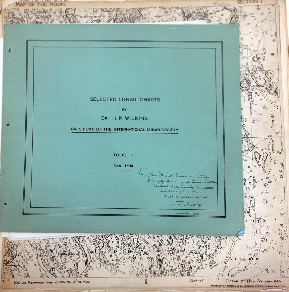
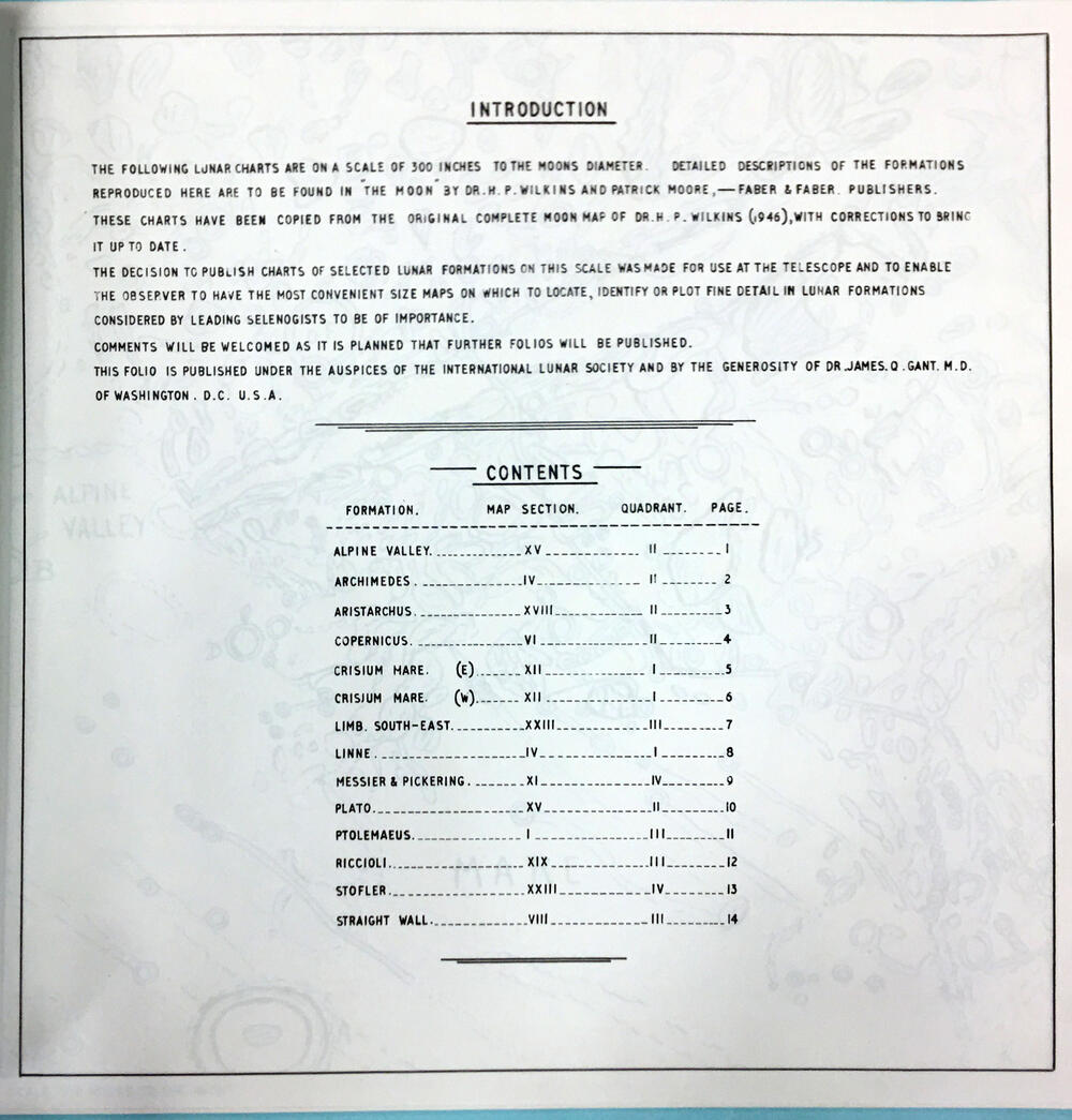
Also in: "Selected Lunar Charts", International Lunar Society, 1944

Copy dedicated to E. Whitaker at LPL Whitaker papers.
 

300 inch map of the Moon