Mars-1973 Lowell Observatory Map
Scale 1: 25 000 000
Mars — map
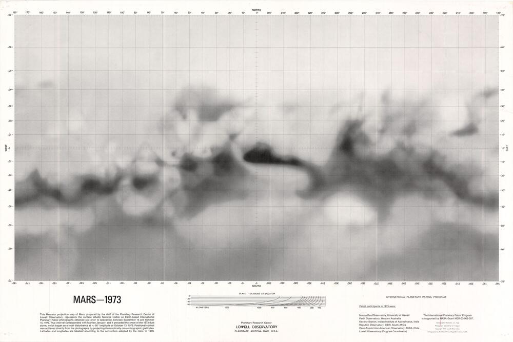
Albedo features derived from Earth based International Planetary Patrol photographs selected from the collection at the Planetary Research Center of Lowell Observatory.
Published by Planetary Research Center, Lowell Observatory,
Copyright Lowell Observatory.
Maps provided courtesy of the USGS Flagstaff Library.
Mars 1973
Cartography: J. L. Inge
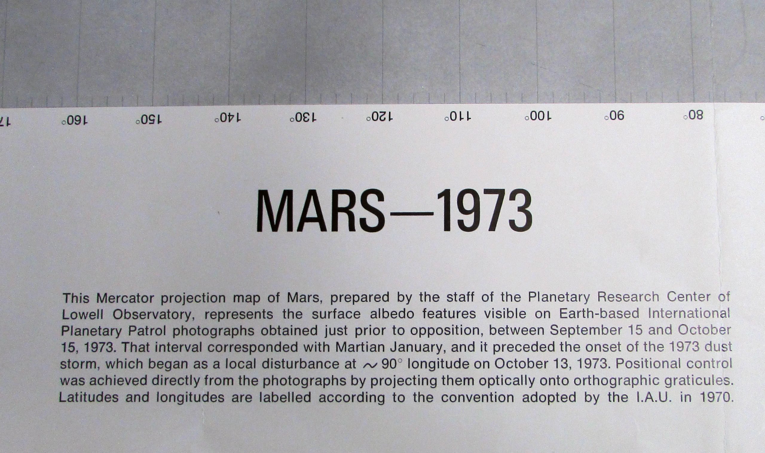
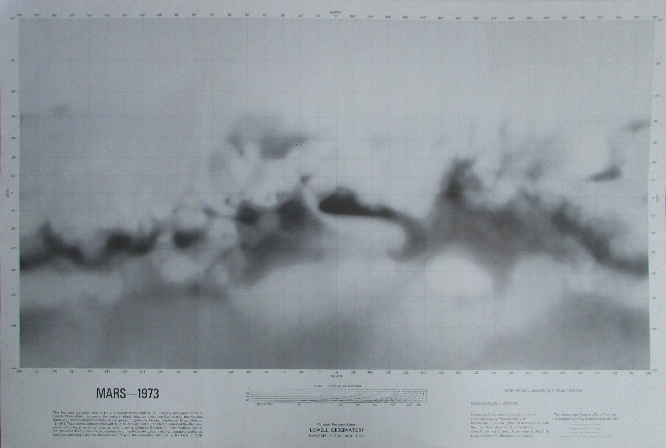
This Mercator projection map of Mars, prepared by the staff of the Planetary Research Center of Lowell Observatory, represents the surface albedo features visible on Earth-based International Planetary Patrol photographs obtained just prior to opposition, between September 15 and October 15, 1973. That interval corresponded with Martian January, and it preceded the onset of the 1973 dust storm, which began as a local disturbance at ~90° longitude on October 13, 1973. Positional control was achieved directly from the photographs by projecting them optically onto orthographic graticules. Latitudes and longitudes are labelled according to the convention adopted by the I.A.U. in 1970.