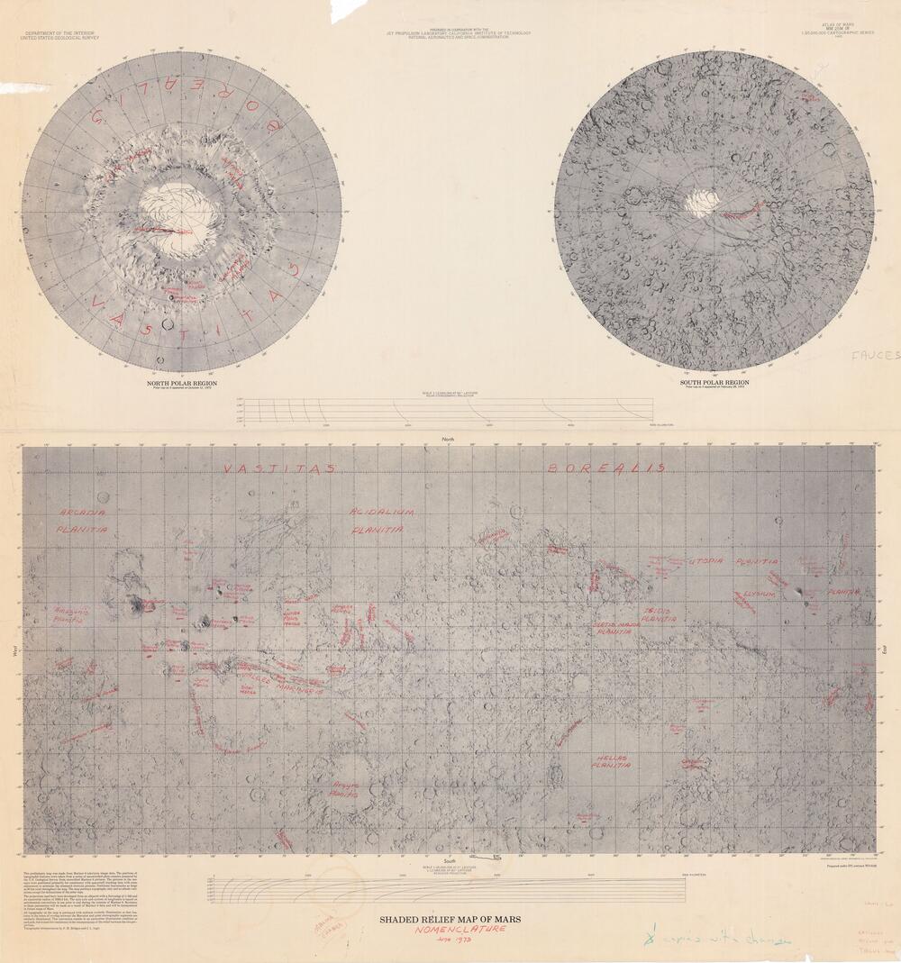
Shaded Relief map of Mars (with nomenclature)
Scale 1: 25 000 000
— Manuscript —
Mars — map
Prepared under JPL contract WO-8122
1:25M
Mercator projection
Preliminary map made from Mariner 9 data.
Topographic interpretation by PM Bridges, JL Inge.
USGS October 1973
Atlas of Mars MM 25M IR


Maps provided courtesy of the USGS Flagstaff Library.
This preliminary map was made from Mariner 9 television image data. The positions of topographic features were taken from a series of uncontrolled photo mosaics prepared by the U.S. Geological Survey from unrectified Mariner 9 pictures. The pictures in the mosaics were positioned primarily for consistency with spacecraft tracking data with some adjustment to minimize the mismatch between pictures. Positional inaccuracies as large as 60 km exist throughout the map. The map portrays topography only and no albedo variations except for delineations of the polar caps.
The projections used here were developed from an ellipsoid with a flattening of 1/192 and an equatorial radius of 3393.4 km. The spin axis and system of longitudes is based on astronomical conventions in use prior to and during the mission of Mariner 9. Revisions to these parameters will be made as a result of Mariner 9 data and will be incorporated in future maps of Mars.
All topography on the map is portrayed with uniform westerly illumination so that features in the zones of overlap between the Mercator and polar stereographic segments are similarly illuminated. This convention results in an anomalous illumination condition at each pole, but is used for consistency in the interpretation of the relief between the two projection regions.
Topographic interpretation by P. M. Bridges and J. L. Inge.