A comparison of Martian albedo features with topography
Scale 1: 63 000 000
Mars — map
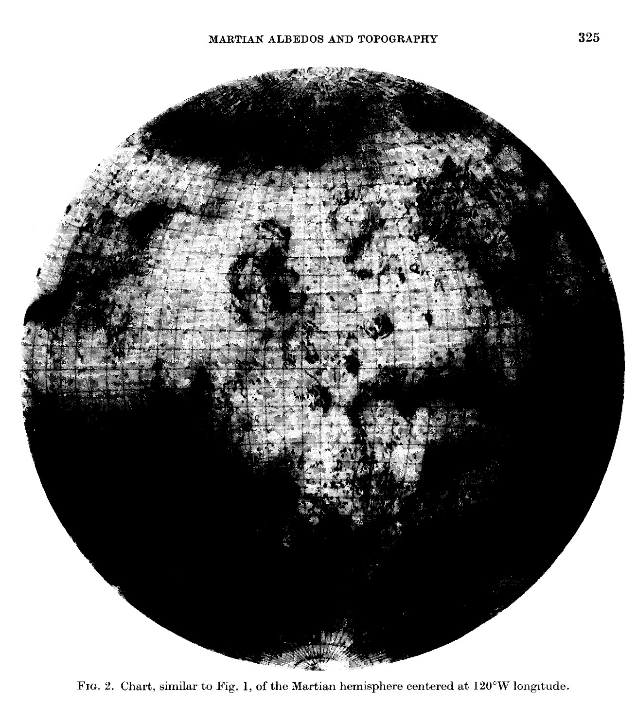
"These charts were inspired by the National Geographic Society. The original artwork was prepared at Lowell Observatory in cooperation with David W. Cook, assistant chief cartographer of the Society,
and a color rendition was distributed with the February 1973 issue of National Geographic Magazine as a supplement to a popular article by Kenneth F. Weaver.
The albedo features on the charts were based solely on International Planetary
Patrol photographs (Baum et al., 1970) of 1969 and 1971.
The charts reproduced here were the first to be published that combined topography with albedo features over the whole of Mars. A Mercator version is also now in preparation. A Mercator chart of
Martian topography alone (Bridges et al., 1972) is already available as public release material from the USGS, and an experiment has been made by one of us (JLI - Jay L. Inge) to test the feasibility of superimposing albedos onto it. A preliminary version is currently in private use by the USGS staff.
1:63M
Inge, J. L., & Baum, W. A. (1973). A comparison of Martian albedo features with topography. Icarus, 19(3), 323–328. doi:10.1016/0019-1035(73)90108-5