MM 71 Mars Planning Chart
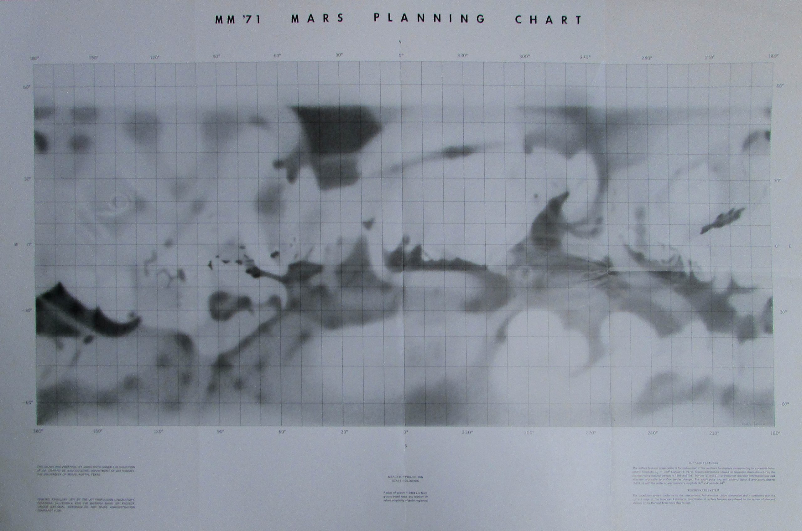
Scale 1: 25 000 000
Mars — map
Albedo maps with and without nomenclature, 1:25M and 1:50M reprint
Based on Earth based observations 1941-58 and Mariner VI and VII oobservations.
Cartographer: James Roth under the direction of Gerard de Vaucouleurs, University of Texas, Austin, TX.
Printed by JPL 1971 for the Mariner Mars 1971 Project.
Map provided courtesy of the USGS Flagstaff Library.

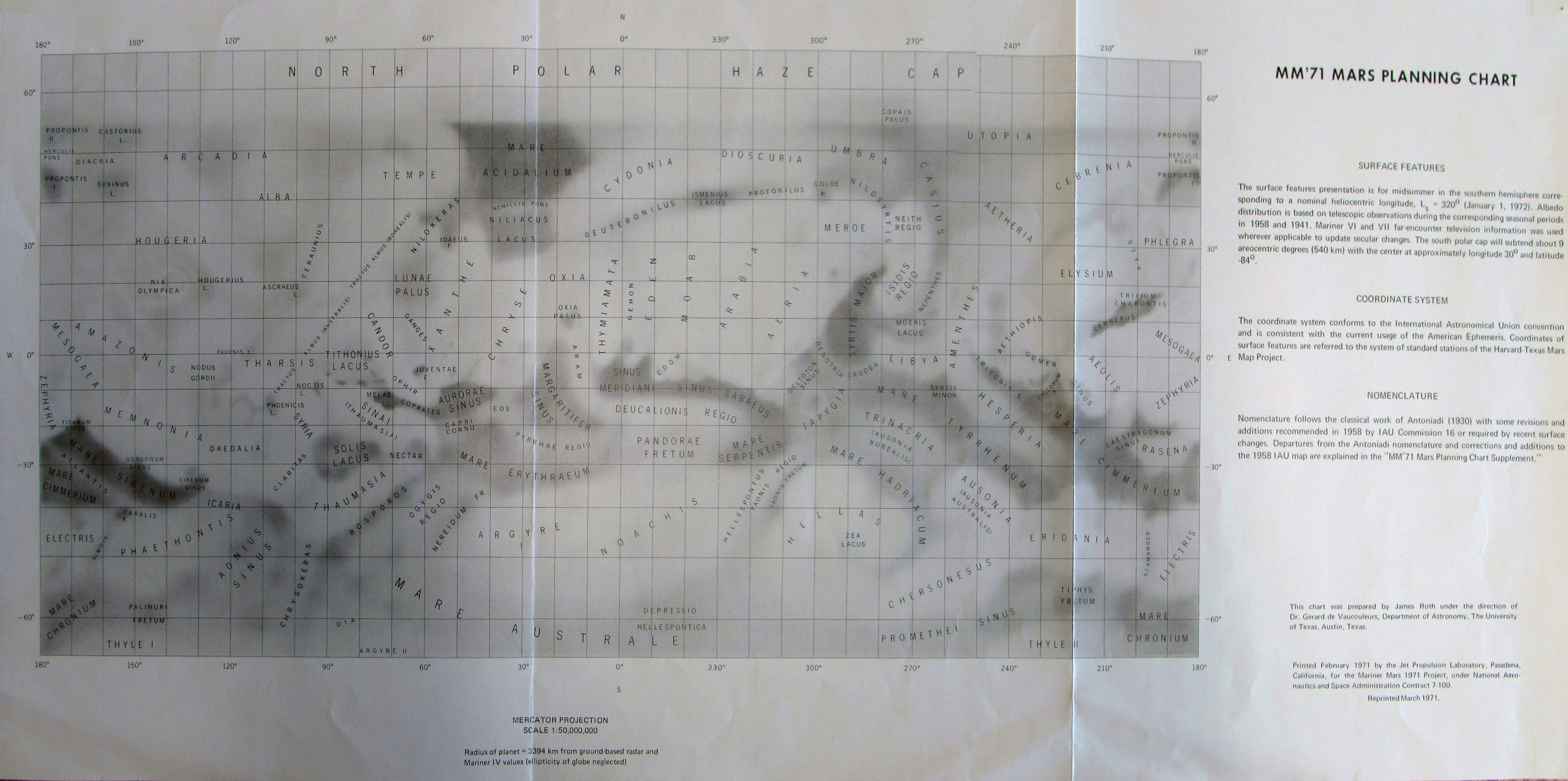
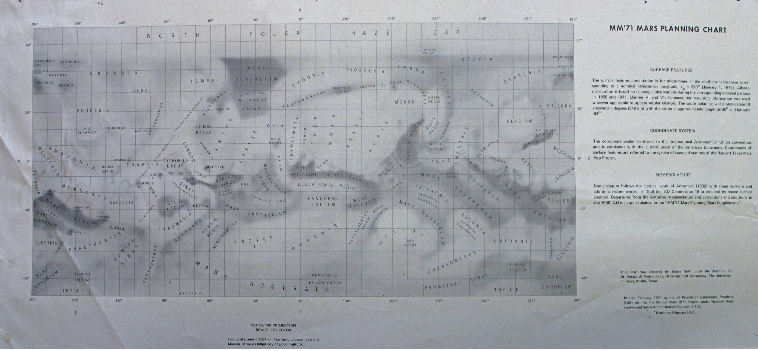

This chart was prepared by James Roth under the direction of Dr. Gerard de Vaucouleurs, Department of Astronomy, The University of Texas, Austin, Texas.
Printed February 1972 by the Jet Propulsion Laboratory, Pasadena, California, for the Mariner Mars 1971 Project, under National Aeronautics and Space Administration contract 7-100.
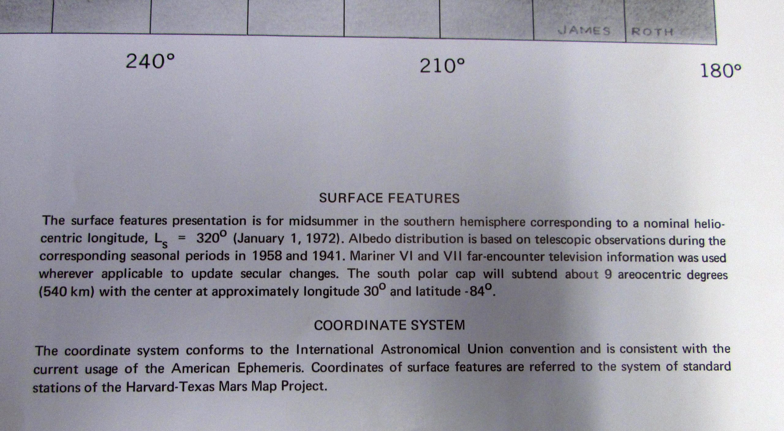
SURFACE FEATURES
The surface features presentation is for midsummer in the southern hemisphere corresponding to a nominal heliocentric longitude, Ls = 320° (January 1, 1972). Albedo distribution is based on telescopic observations during the corresponding seasonal periods in 1958 and 1941. Mariner VI and VII far-encounter television information was used wherever applicable to update secular changes. The south polar cap will subtend about 9° areocentric degrees (540 km) with the center at approximately longitude 30° and latitude −84°.
COORDINATE SYSTEM
The coordinate system conforms to the International Astronomical Union convention and is consistent with the current usage of the American Ephemeris. Coordinates of surface features are referred to the system of standard stations of the Harvard–Texas Mars Map Project.
NOMENCLATURE
Nomenclature follows the classical work of Antoniadi (1930) with some revisions and additions recommended in 1958 by IAU Commission 16 or required by recent surface changes. Departures from the Antoniadi nomenclature and corrections and additions to the 1958 IAU map are explained in the “MM’71 Mars Planning Chart Supplement.”