Map 1389
Moon — globe
Editions: 196?, 1969, 1971, 1972. All editions are graphically reworked, not only with the new details but also in style
Publisher: Scan-Globe A/S; Reploge Globes
1968? edition: "This globe was actually produced by Robert I. Johnson, Director and Richard M. Grossman and staff as Cartographers for the Adler Planetarium and Asronomical Museum. Scale 1:22,809,600 or 1 inch = 360 miles. Replogle was commissioned in 1963 to produce these great globes for the museum. The globe has markings for the proposed U.S. Apollo manned landings along with Crash Sites and Soft Landings which are clearly marked by symbols.. The proposed landings are all in the Apollo Belt and marked clearly on the globe. The earliest site is credited to the U.S.S.R. as Lunik 2 on 9/13/59 with the last site being U.S.A. Surveyor 3 on 4/19/67. There are also Ranger missions for the U.S.A. noted." (Source)
Cartouche (1971):
1:22.809.600
1cm = 228 km
Manufactured by Scan Globe
Made in Denmark
Impact ...
Soft Landing ...
L.M ....
(c) Replogle Globes Division Meredith Corp


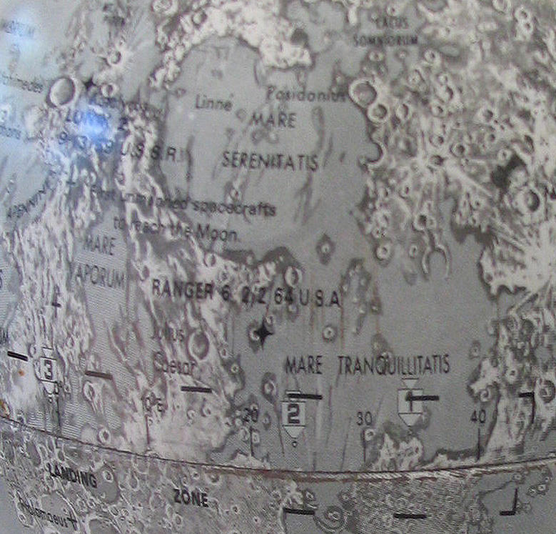

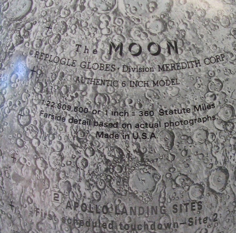

Pre-1969 6 inch edition (1968?). First in the series to show full farside details.
Copyright: ÖNB Kartensammlung und Globenmuseum, in the Austrian National Library Globe Museum
References:
http://data.onb.ac.at/rec/AC04848719